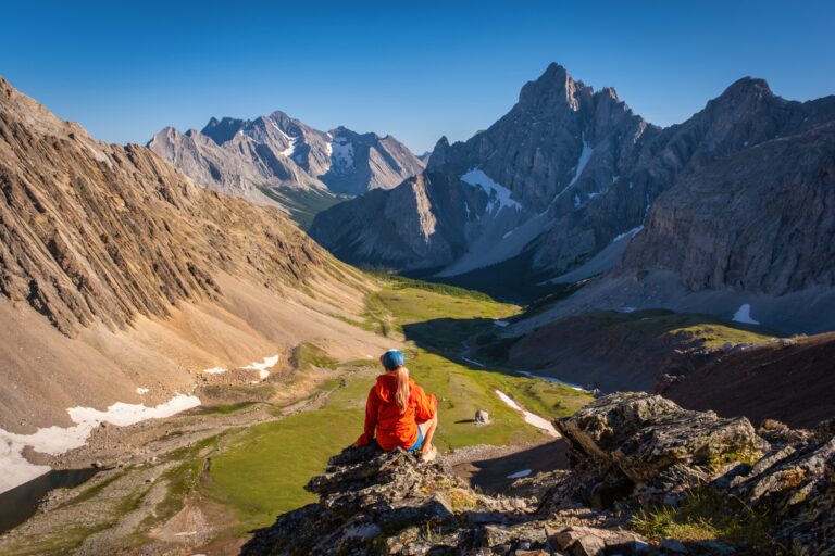
Guide To The Heart Mountain Horseshoe Scramble/Hike

The Heart Mountain Horseshoe Loop is a reliable early-season objective and a popular first scramble for many locals. It features a great loop route, a long ridge walk, fantastic views, multiple peaks, and really nice rock for scrambling. It’s an easy scramble and a difficult hike, so it serves as a good transition from hiking to scrambling.
Best of all, it’s easily accessible, situated above Lac des Arcs, around 10 minutes from Canmore and approximately an hour from Calgary. We tackled the Heart Mountain loop, knowing little more than the route on a topo map, and left pleasantly surprised after a great day out in the mountains that was close to home.
Heart Mountain Horseshoe Stats
Heart Mountain Route Description
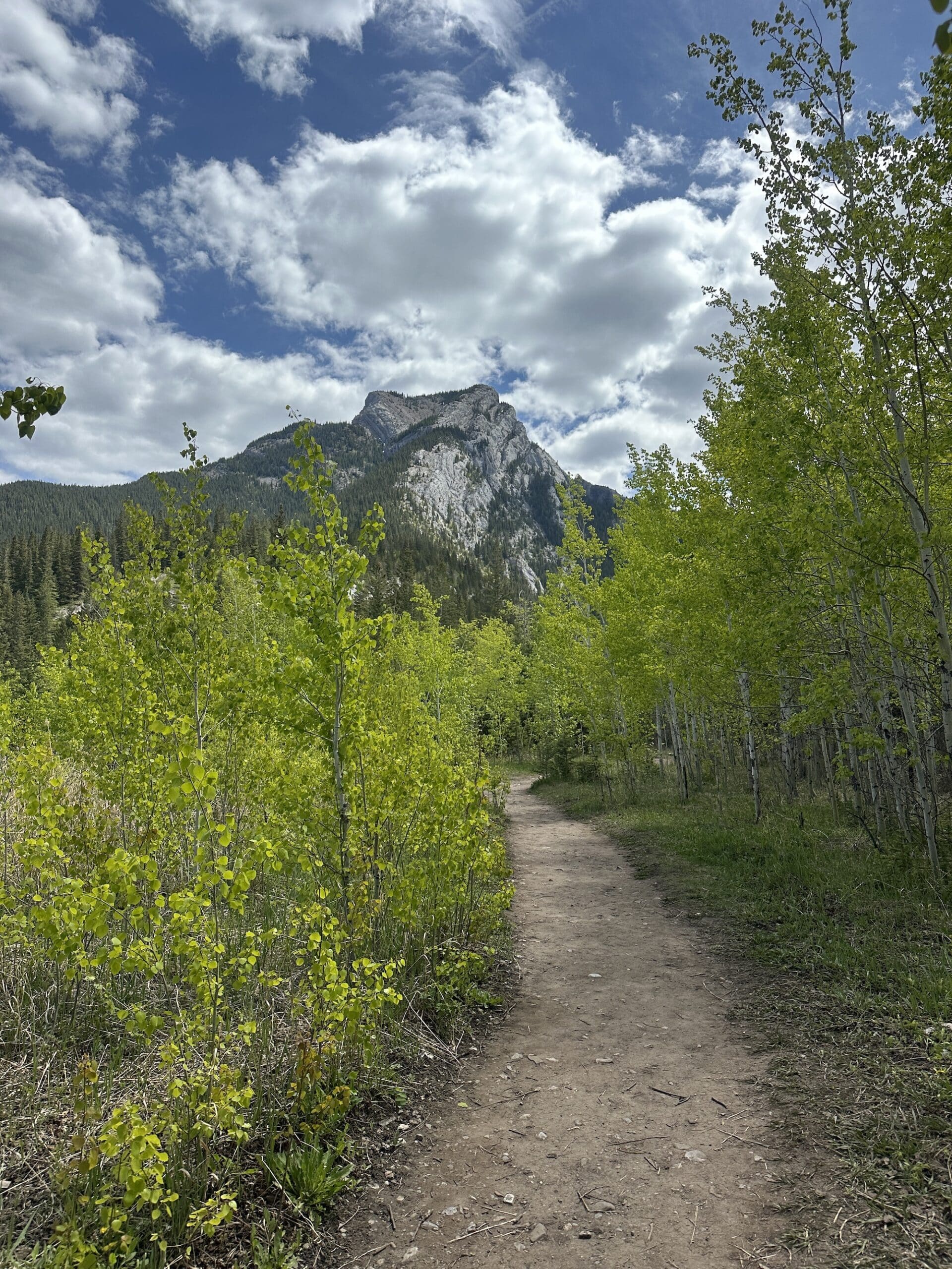
The Heart Mountain Horseshoe starts at the busy Heart Creek Day Use Area, which is also the starting point for several other trails in the area. This includes the Razor’s Edge bike trail, so don’t be too surprised if you see some bikers at the parking area or the start of the trail. It’s best to complete the loop in a counter-clockwise direction, that way you climb up the more difficult scramble section rather than down.
From the car park, the trail follows the Heart Creek Trail to the creek for one kilometer. Around 100 meters after the creek, the trail breaks away from the trail towards the Heart Mountain summit. Alberta Parks marked the trail well, and the route is listed as the “Heart Mountain Scramble Route.”
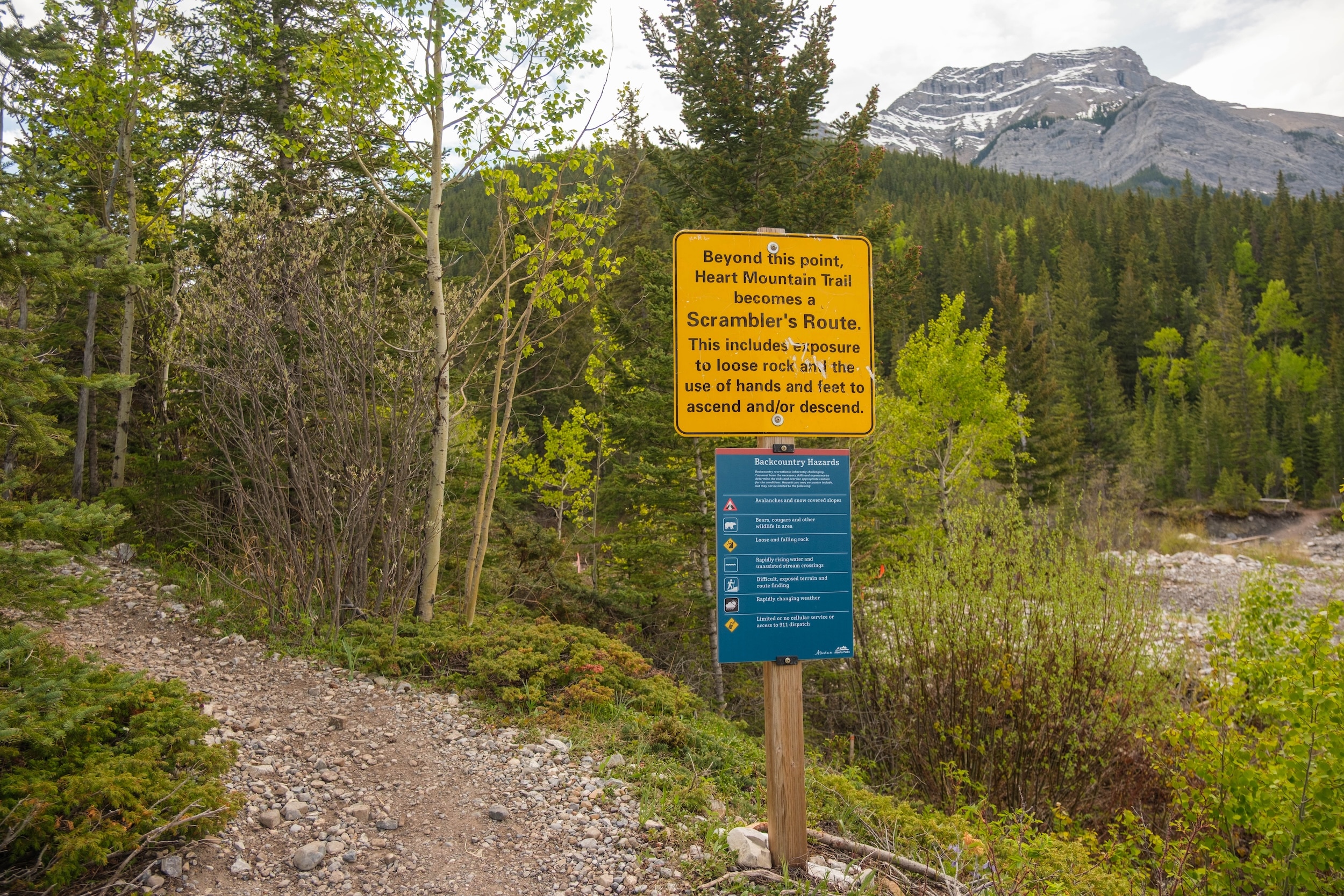
Pretty much immediately after detouring off the Heart Creek Trail, the route begins the very steep ascent up Heart Mountain. This section quickly gains through a series of switchbacks to sections of the ridge that would qualify as a scramble. Take your time with the ascent, as the scramble is fairly easy for the majority of the ascent, outside of being strenuous.
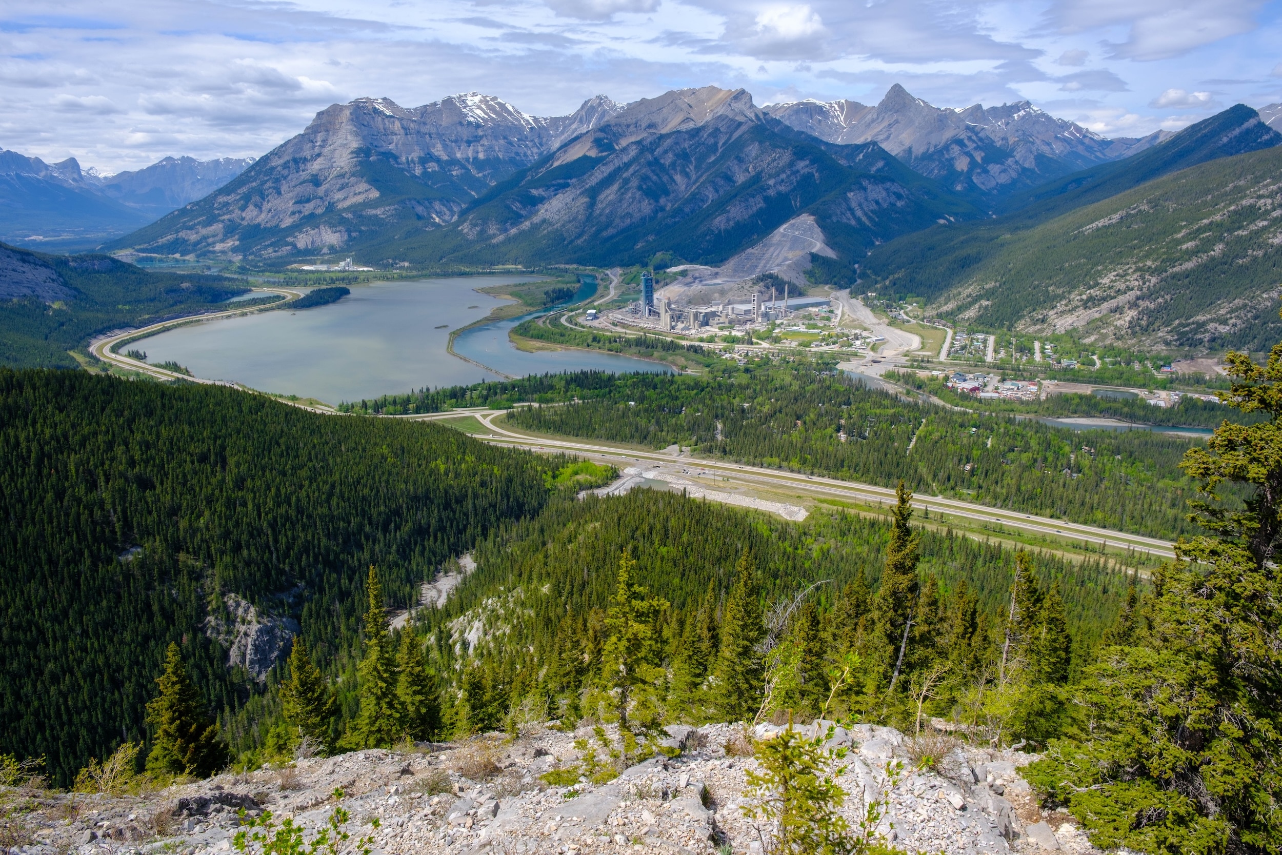
We found several goat trails and routes to the West/right that led into more serious rock terrain. If you’re an avid scrambler, this can be fun and challenging terrain, but for most, we say stick to the left. Regardless of which path you take, the views back over the valley open up almost right away.

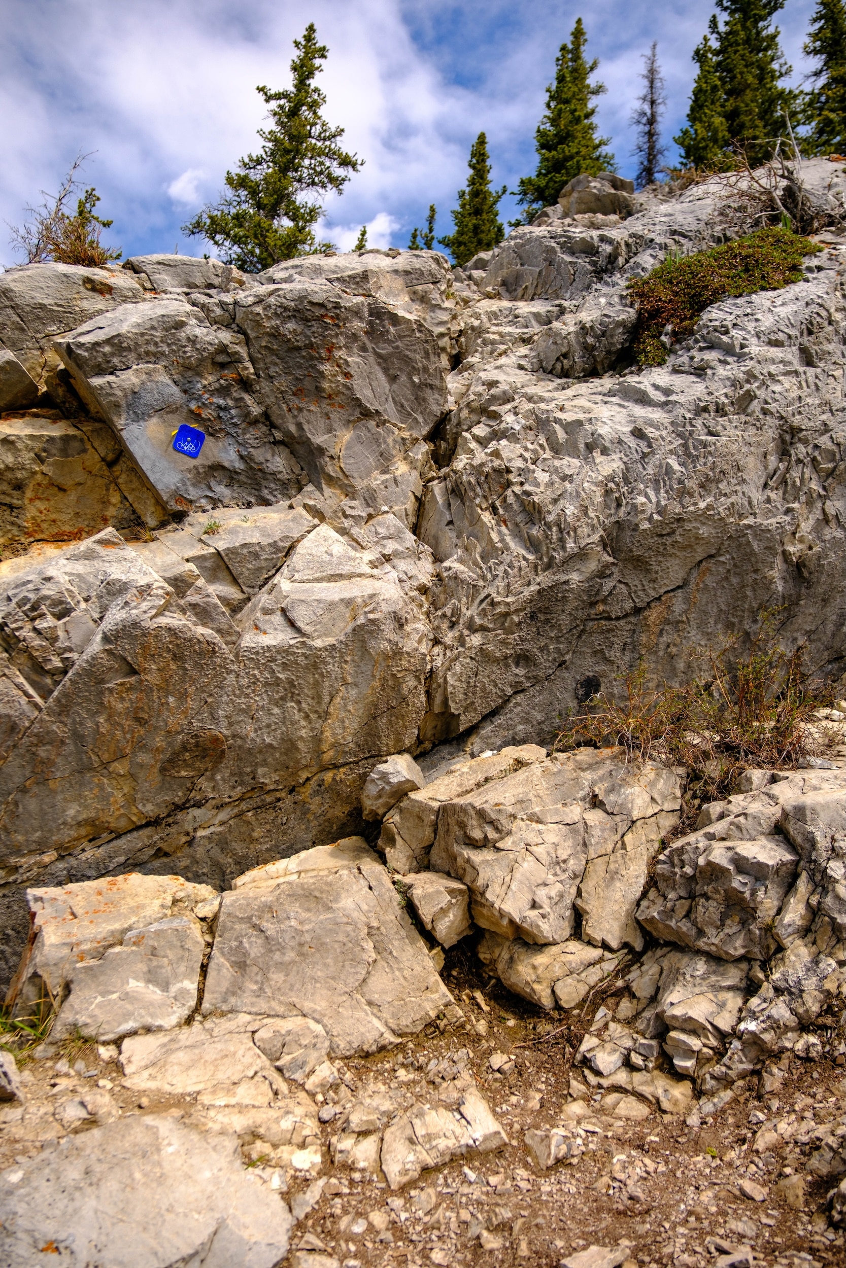
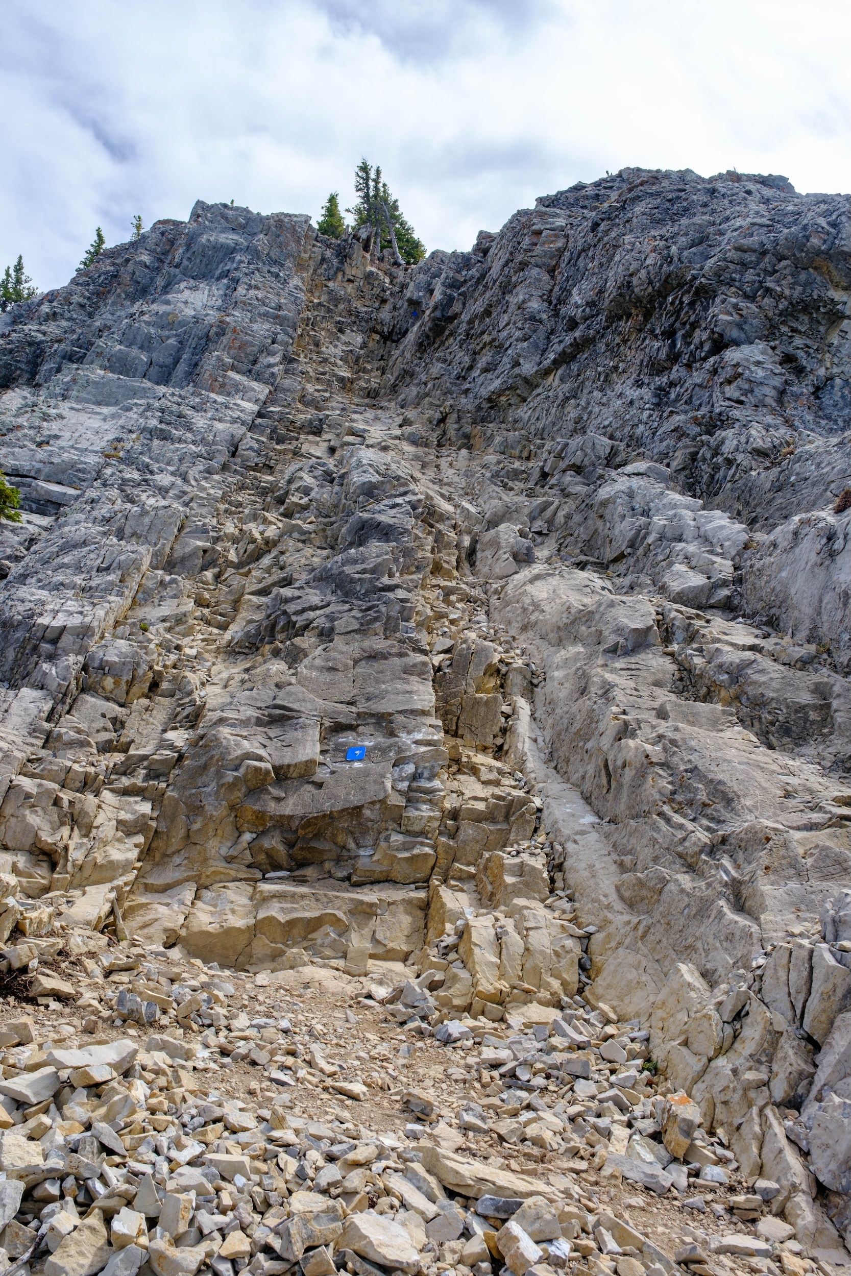
As the climb up the ridge breaks away from the treeline and reaches the alpine, the scramble becomes more intensive. The most difficult sections are a large 1-2 meter step up and a narrow gully, both of which have blue markers indicating the way. The two sections are the only technical parts on the entire trail, and they’re both near one another. The most difficult thing about the crux that we found was how slick the rock was on one of the holds.
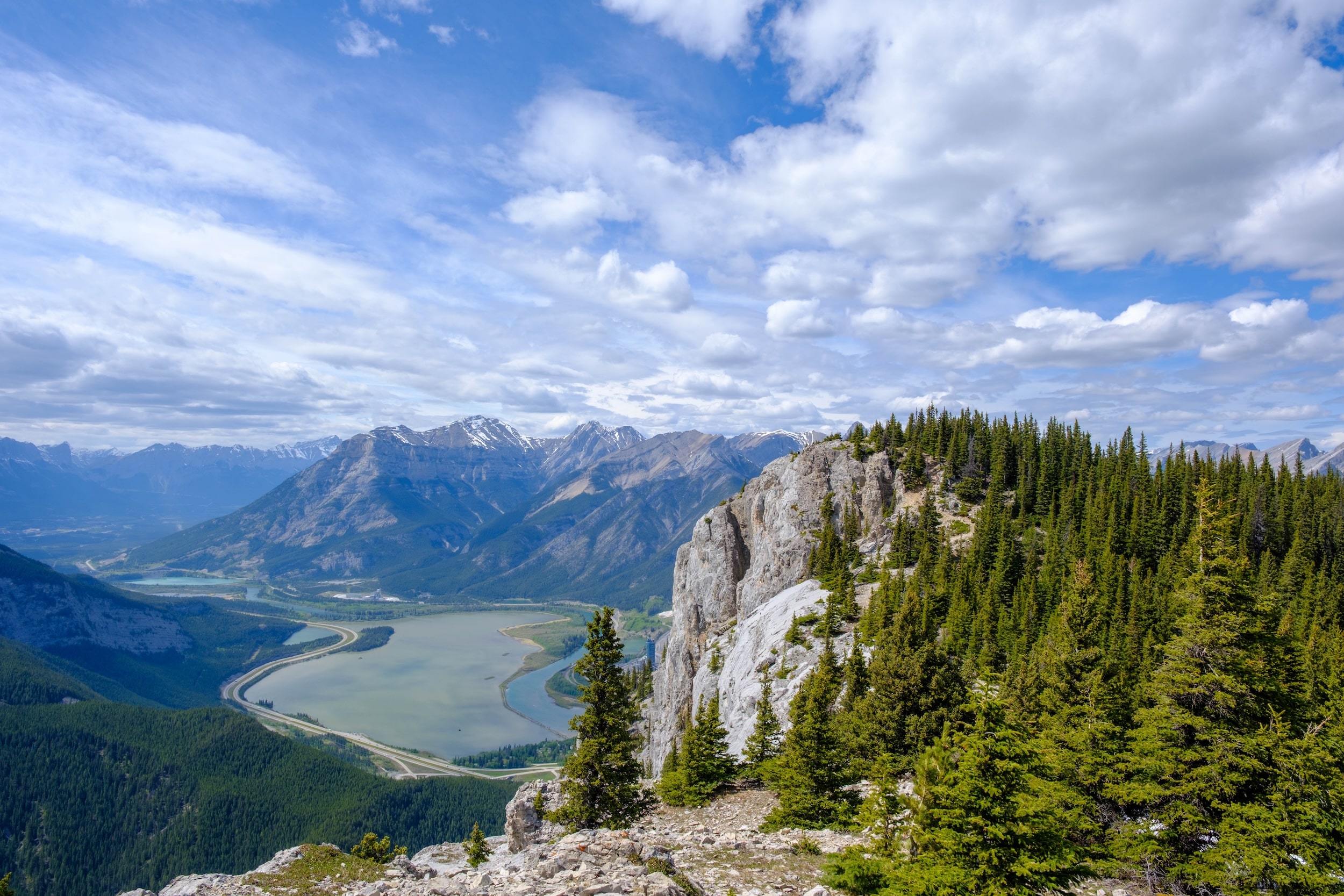
After the grind up through the scramble sections, switchbacks, and steep trail, you’ll reach the Heart Mountain Summit. It boasts one of the best views on the route, offering a stunning vista of the Bow Valley and the Heart Creek Valley. After the grind up to the summit, it’s the perfect spot to stop for a snack or lunch.
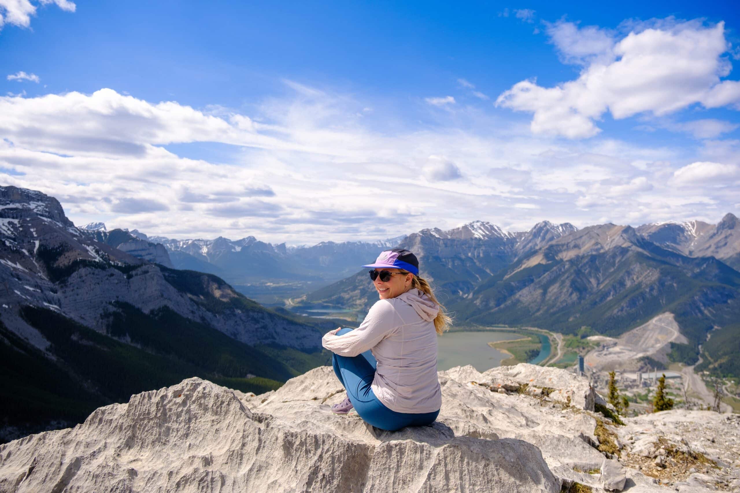
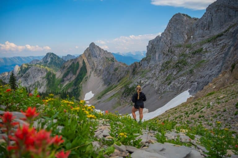
After the summit, the path is fairly quiet and follows the ridge left towards Grant MacEwan Peak. The trail along the ridge is very easy to follow and moves up and down at several points, crossing through the forest.
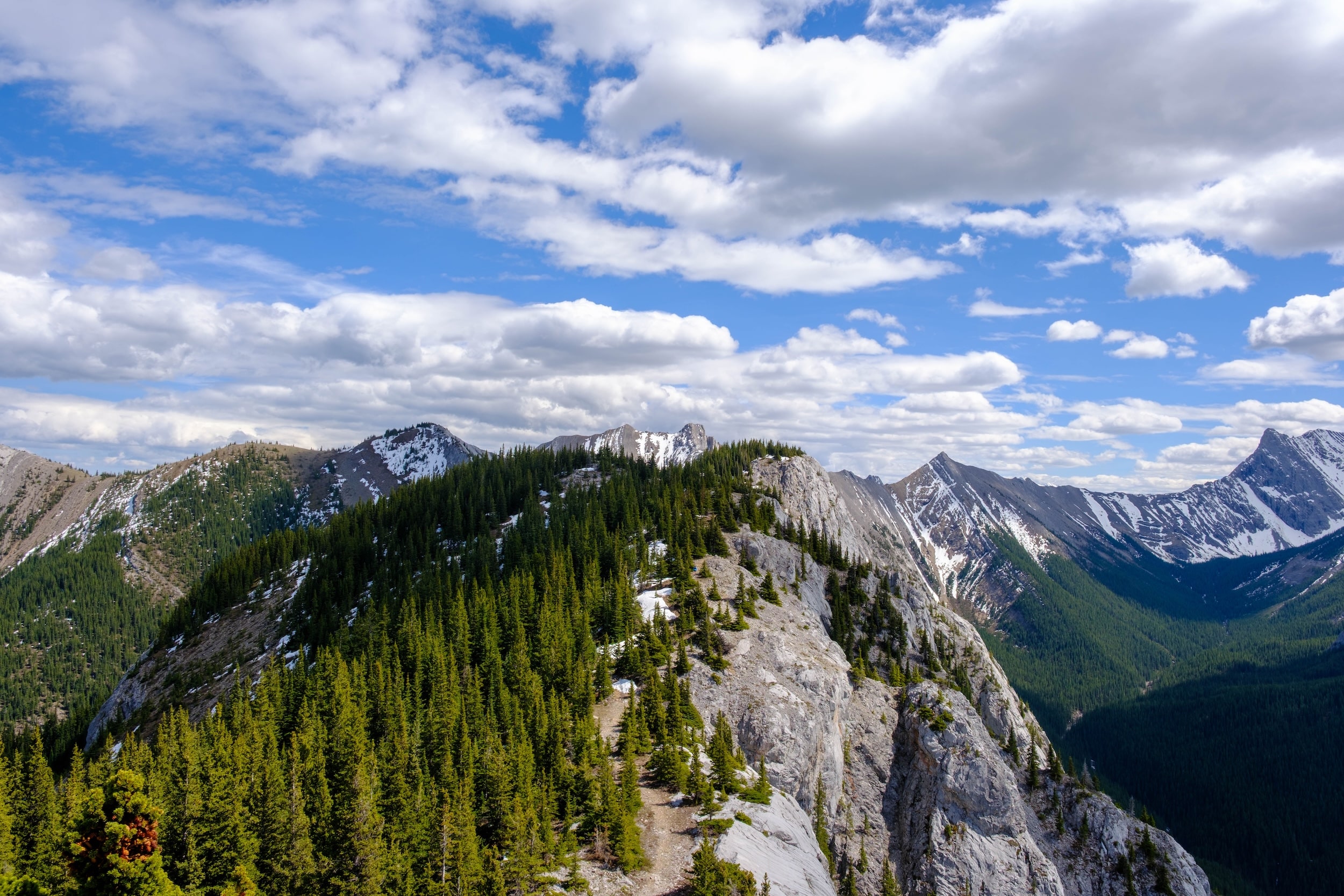
There is a summit register at Grant MacEwan Peak, but it’s often full due to the popularity of the peak. Nevertheless, if it’s your first scramble/summit, it’s definitely worth trying to find a spot to jot your name down.
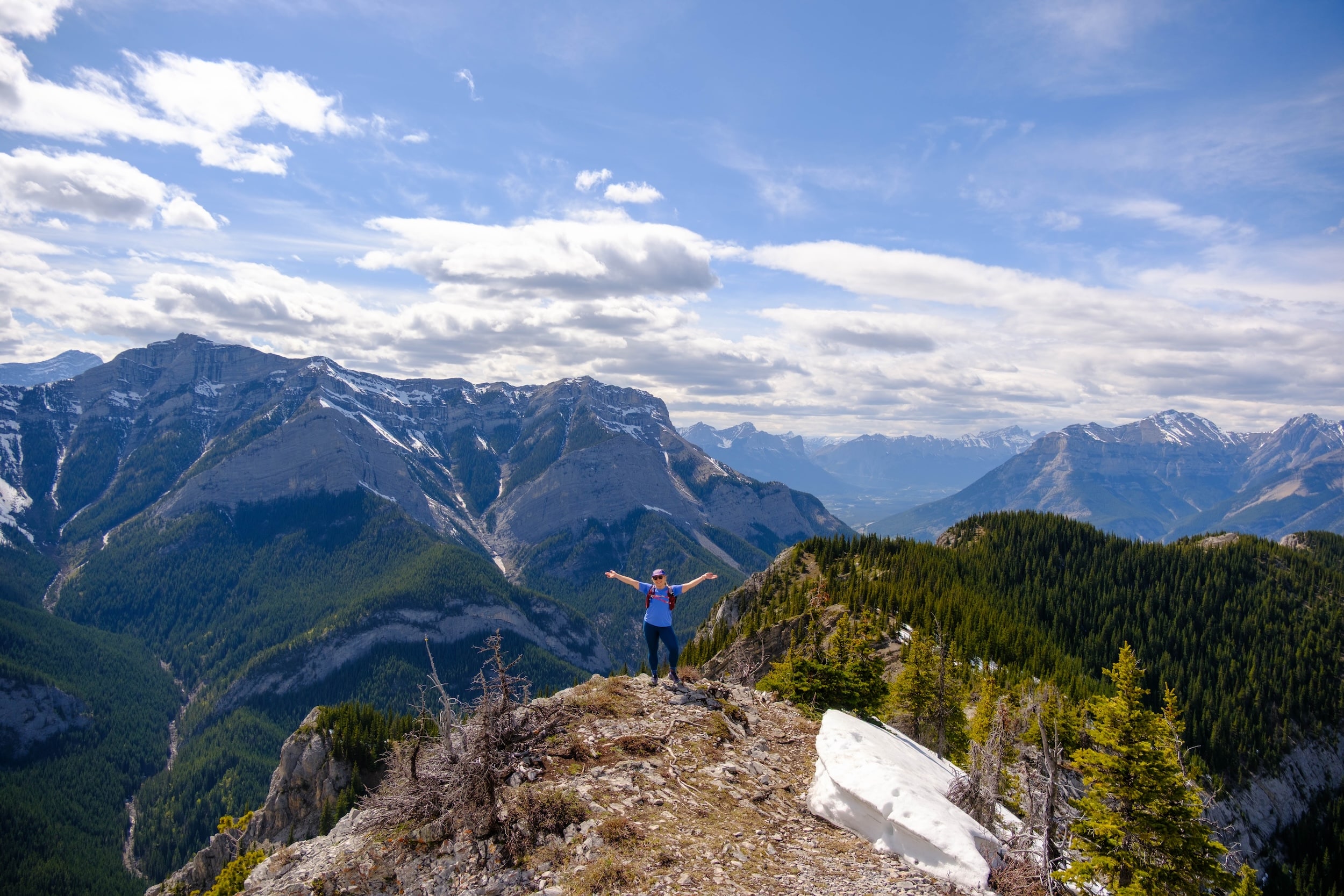
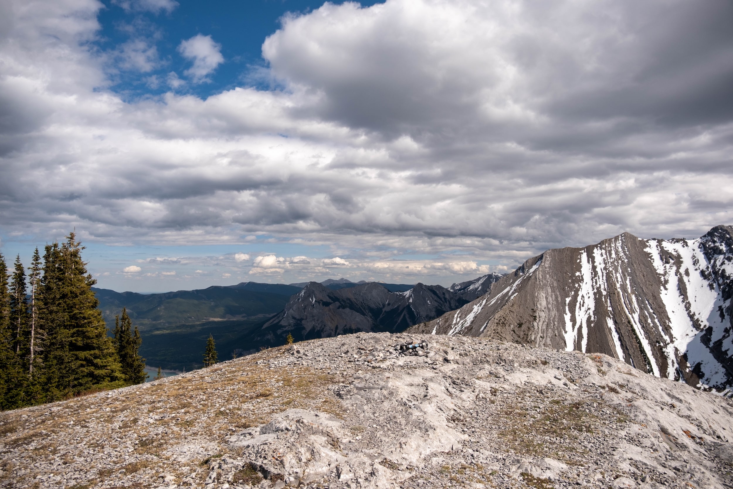
After Grant MacEwan, the trail moves back towards the highway and north towards the last peak of the day. The third peak is unnamed and features a large cairn with views out to Yates Mountain and Barrier Lake.
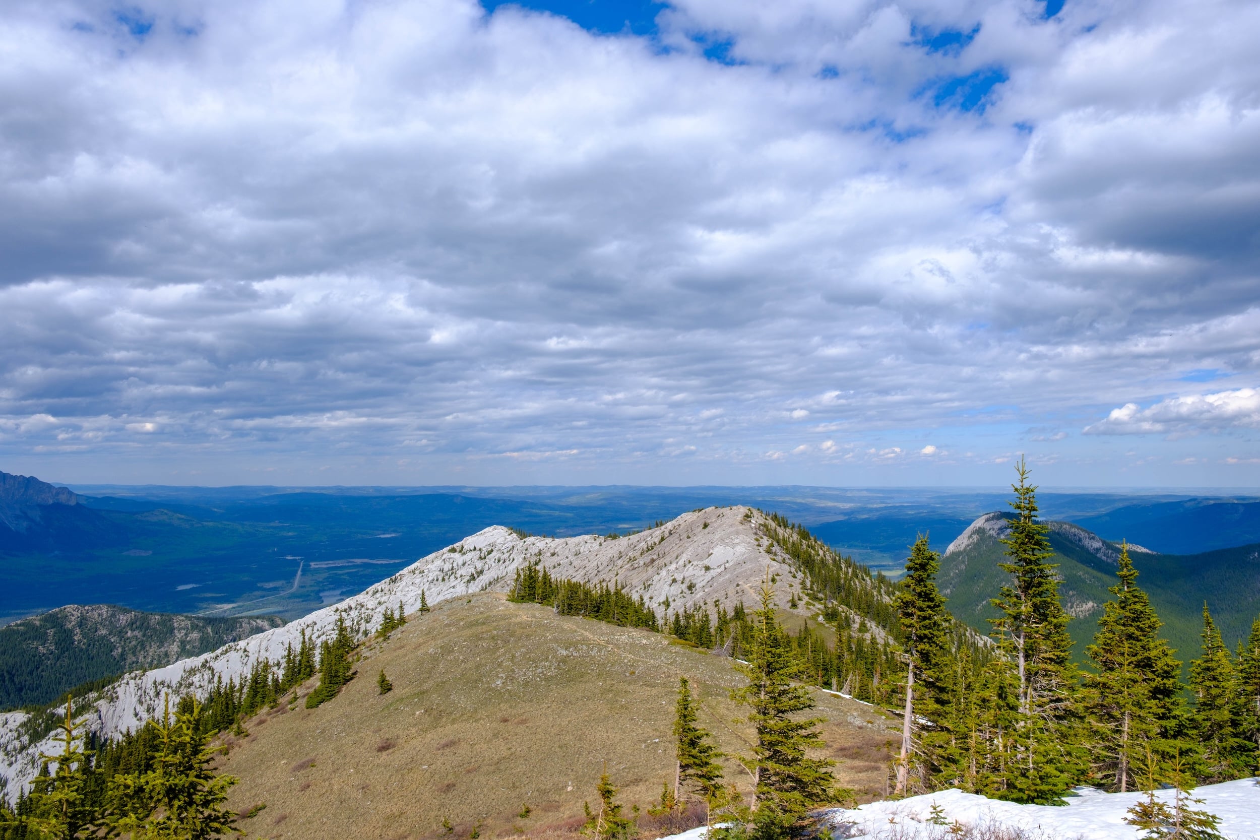
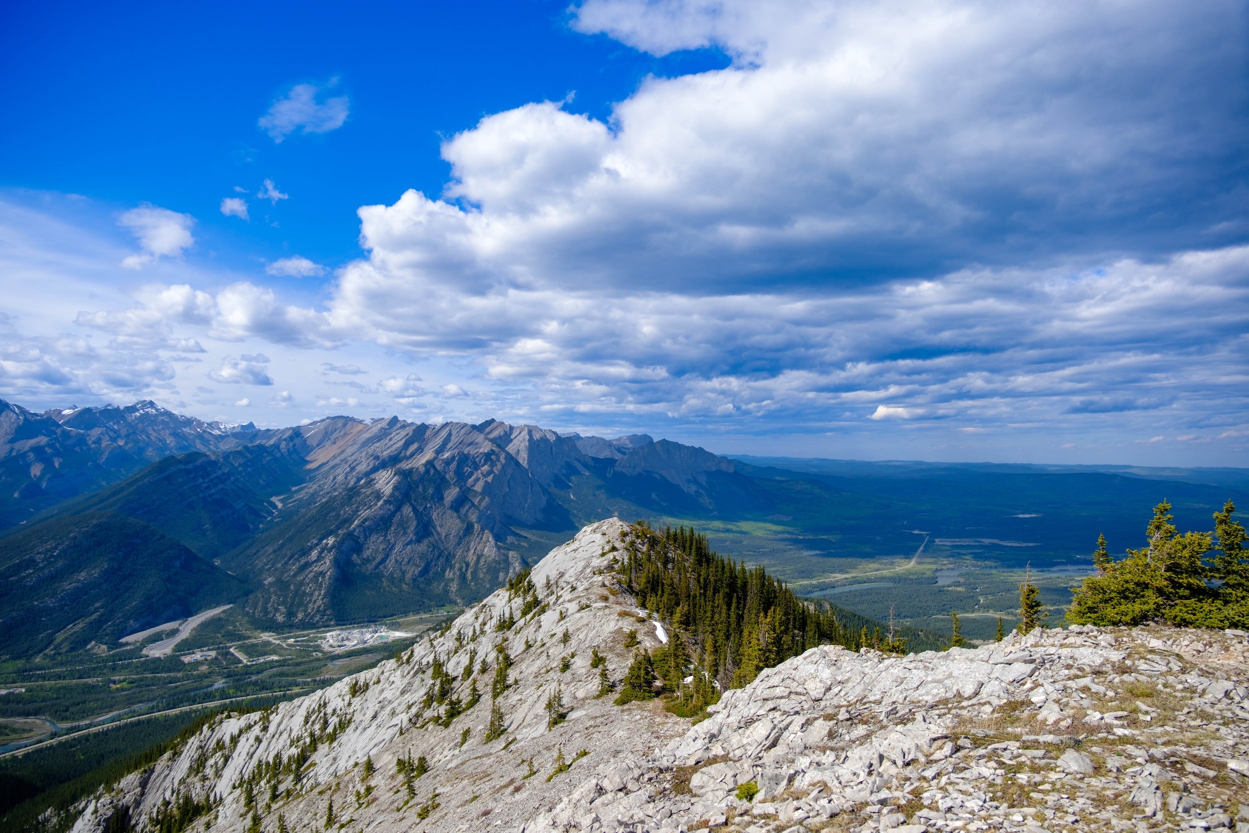
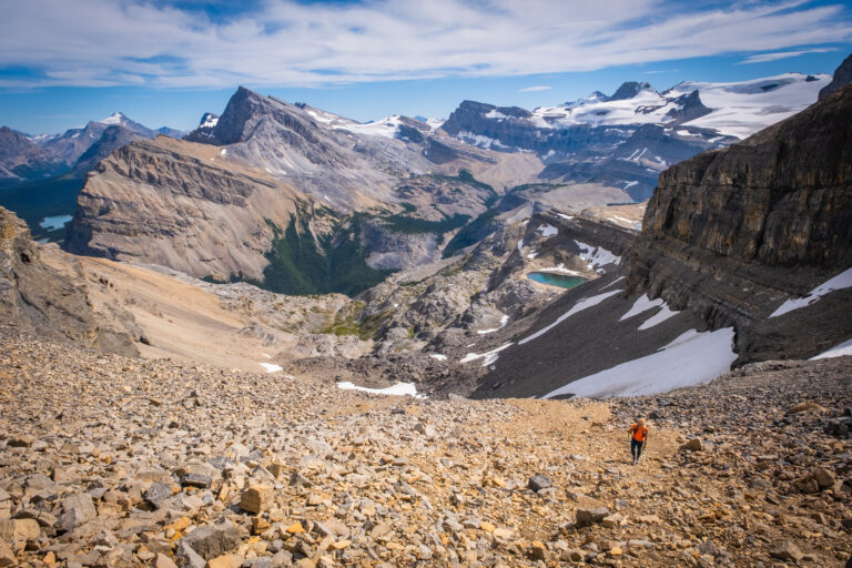
Past the third peak, the trail begins a quick descent on steep and loose terrain. It’s not exactly the most enjoyable terrain to descend, and for the first section, you’ll definitely appreciate a hiking pole or poles.
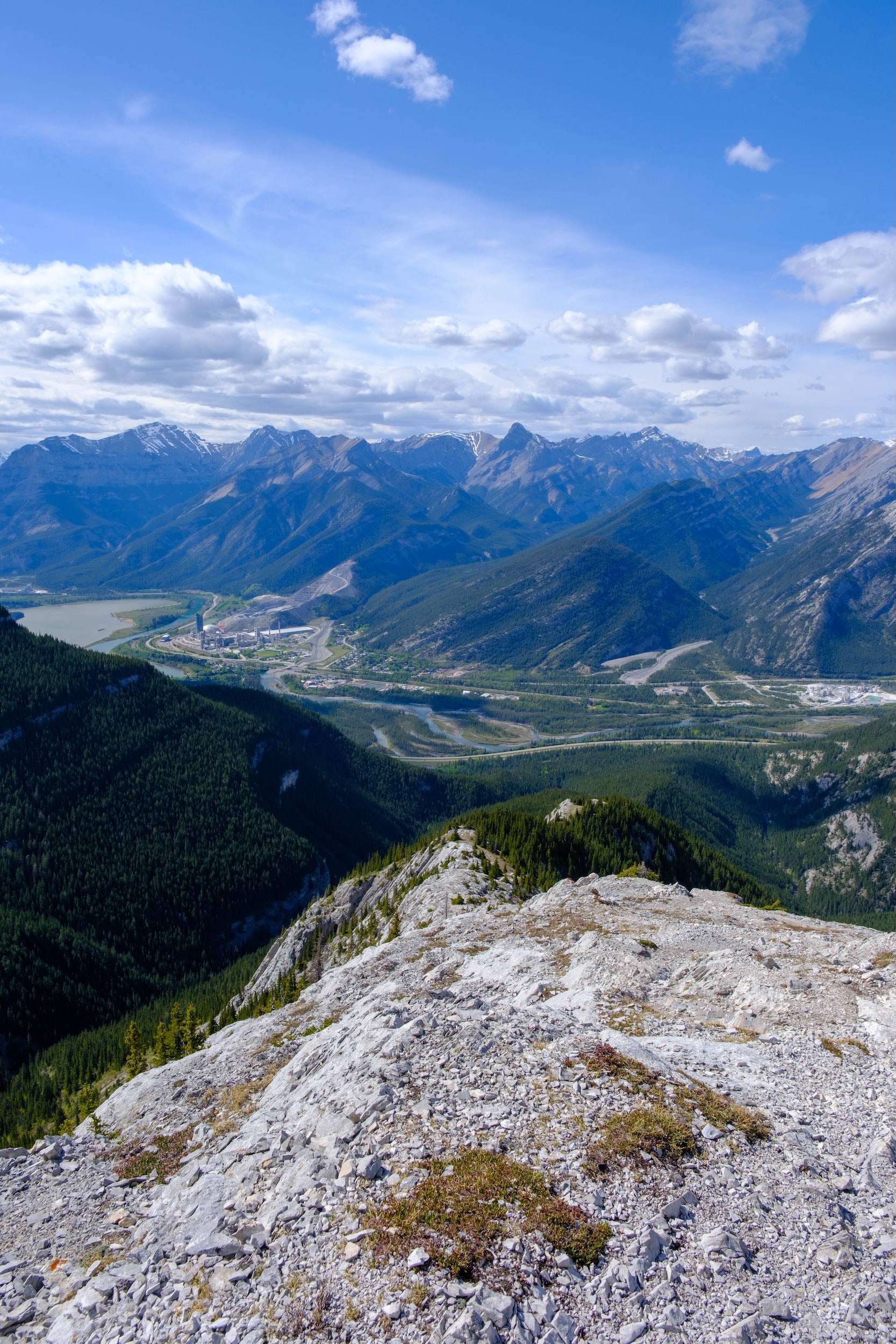
After a kilometre of the steep rocky terrain, the trail reaches the forest and begins to level off. It’s still steep in sections, but the soft dirt in the forest is much more forgiving and grippy. It moves through the forest for nearly two kilometres before reaching the powerlines.
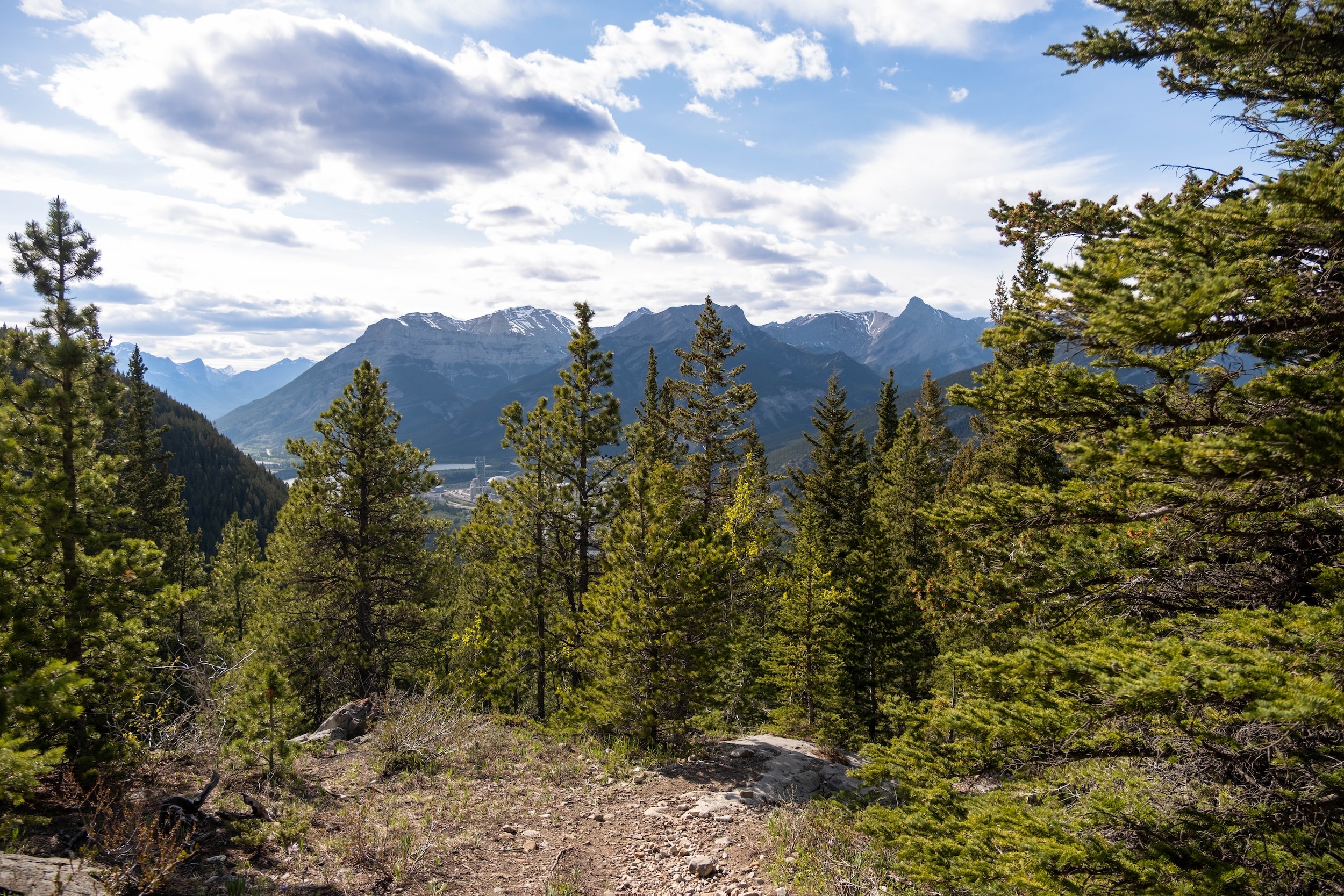
At the powerlines, you’ll take a left and begin the return journey to the car park. This is the same trail the route started, but further along. After a full day in the alpine, it can feel a little long, especially as it runs alongside the noisy TransCanada.
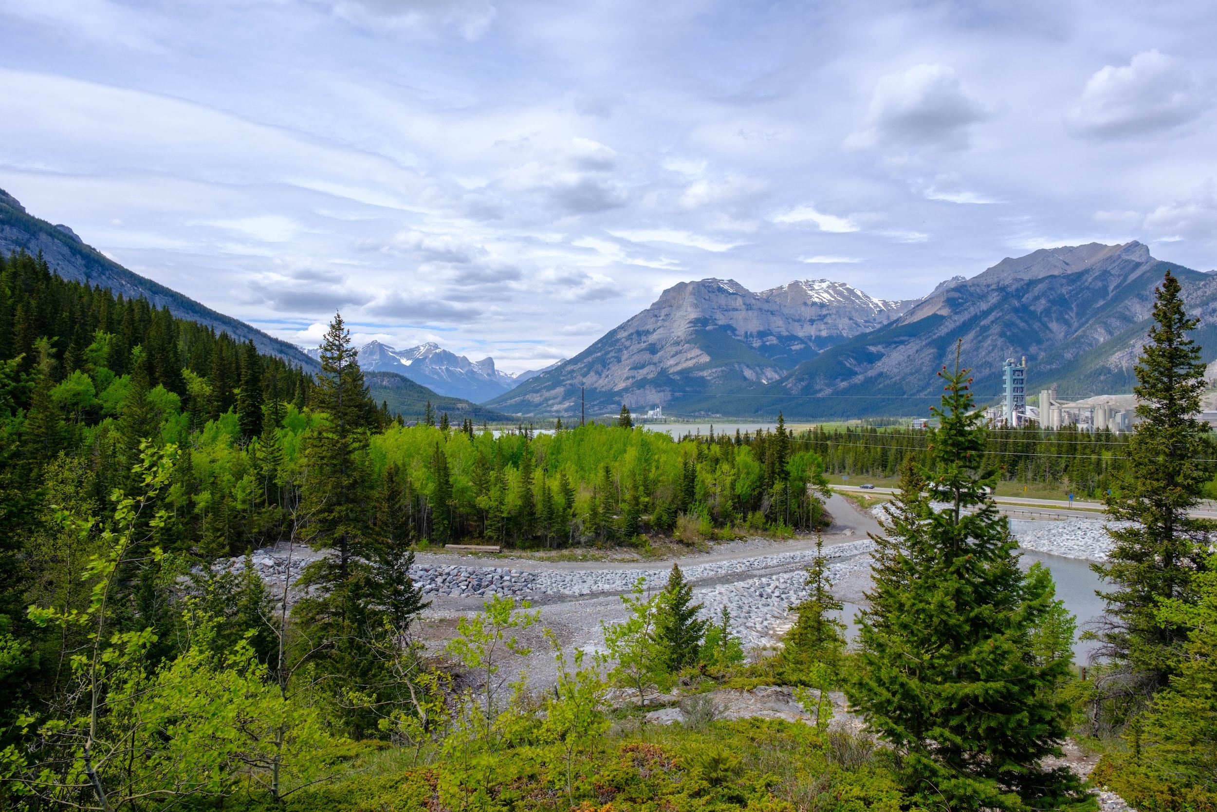
It took us around 5 hours to complete the loop without rushing, and we saw several trail runners giving it a try, which probably clocks in at around 3 hours.
Trail Difficulty
Heart Mountain is undeniably a physical challenge for anyone, even the most experienced of scramblers and hikers. It’s a big day in the mountains that requires the use of hands at elevation. The route is exposed to the elements and is accompanied by numerous hazards, including cliffs.
It is a very hard hike, and those on the route must come prepared. However, we would classify it as an easy scramble and a good entry point for those looking to bag summits around the Canadian Rockies.
Trail Length
The loop route is around 13.5 km long and gains just under 1,000 meters of elevation. On average, we’d say it takes most 5.5 to 8 hours to complete the loop with some stops. We’ve heard of some taking longer than that.
When is the Best Time to Hike Heart Mountain?
Heart Mountain is often one of the first objectives to dry out in the Canadian Rockies. Every year is different, but it’s typically good to go around mid-May and will last until the end of the hiking season in October.
A Pass is Needed to Hike in Kananaskis
Visitors are required to hold a Kananaskis Conservation Pass, which covers Kananaskis and the Bow Valley Corridor. This pass is separate from the National Parks Pass needed to visit Banff and the other national parks. Passes may be purchased online and are attached to a license plate number. Requirements are around vehicles and parking, not the individual. This includes parking at the Canmore Nordic Center or Grassi Lakes.
Pass Prices
- Daily Pass: $15 (registers one vehicle)
- Annual Pass: $90 (registers two cars)
A Guide to Understanding the Kananaskis Conservation Pass
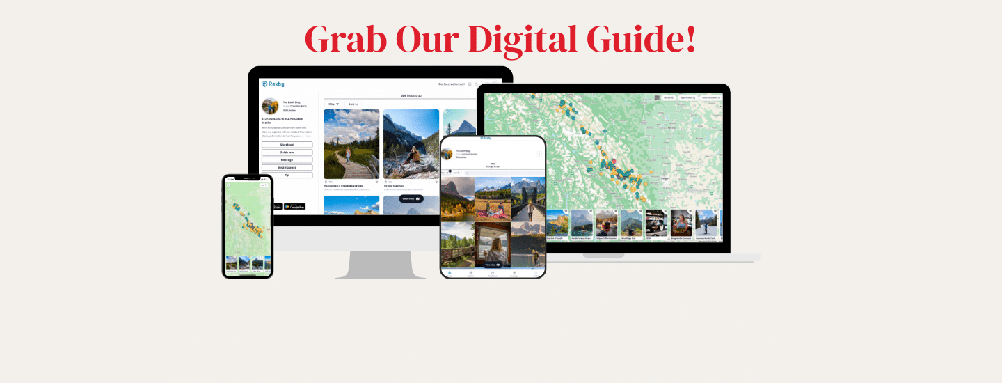
If you’re heading to Western Canada soon make sure to check out our interactive map with over 350 spots to help you plan!
- ✅ Hiking trails with links to trails & insider tips you won’t find online
- ✅ Our favorite photo spots, scenic views, waterfalls, must-visit attractions, and even swimming holes
- ✅ Our favorite restaurants, coffee shop & local spots that many skip.
- ✅ We add as we explore ourselves. That means we add new points every month!
- ✅ Map works with Google Maps!
- ✅ Pre built itineraries you can replicate,
- ✅ Discover spots via an ad-free interactive map and a grid, full of original content and videos
- ✅ Use on the go, mobile-first, offline-friendly, and made for the road.
- ✅ Local insights you won’t find on Google or ChatGPT – all in one place!
Plan Your Trip to the Canadian Rockies
- We now have an interactive map! With over 350 stops and pre built itineraries around the Canadian Rockies, our personal map and guide is your one stop shop to an epic trip here.
- Recommended Experiences: There are many things to do in the Rockies, but our top recommendation is the Banff Gondola – a must do experience! Want to get up close and personal with a glacier? We cannot recommend this Icewalks tour enough! See more of our recommendations.
- Planning your visit to Moraine Lake and don’t want to deal with the Parks shuttles? We recommend using Moraine Lake Bus Company, Fairview Limo (leaves from Lake Louise Village) or booking with ViaVia (these leave from Banff/Canmore).
- Hotels in the Rockies: There are many places to stay, from luxury hotels to wilderness cabins. See all our favorites here.
- Get Around: We suggest renting a car to get around. You can search for rental cars on Discover Car. For a campervan trip, you can check prices and compare on Outdoorsy. Don’t forget the Guide Along Audio App for driving the Icefields Parkway (Use our link for 25% off!)
- We can help you plan your 2025 trip to Western Canada! If you’re feeling overwhelmed by planning we can assist! We’ll hop on a 1 on 1 phone call, and PERSONALLY go over your plans and itinerary (or help you craft an itinerary), and will save you time and money with our personal recommendations. Calls are followed up with detailed trip notes afterward that I write myself. See our services here.

