35 Amazing Banff Hikes & Trails To Enjoy
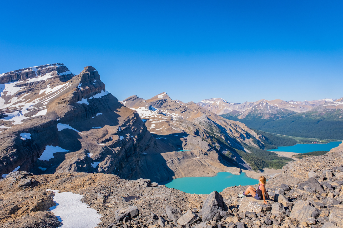
From the trails in Banff, hikers will find high alpine passes, fields of wildflowers, waterfalls, jagged peaks, towering glaciers, fossils, and a healthy dose of turquoise lakes. With over 1600 km of maintained trails, the Canadian Rockies have an abundance of trails with something for every hiker. We share our favorite hikes in Banff and all the details in this guide to help you experience the best in the park.
The goal is to keep a good mix of hiking trails that anyone of reasonable fitness can complete. Banff National Park offers jaw-dropping views and many more challenging hikes, scrambles, climbs, and mountaineering objectives. However, many of these hikes aren’t accessible to all and require more mountain experience.
One could spend a lifetime exploring the massive mountain range, and the possibilities sometimes feel endless. We have an ongoing list of new hikes, peaks, and climbs we’re always trying to cross off our list. However, in no particular order, here are some of our favorite hikes over the last few years, with plenty of photos to help make your hiking decisions. This list only includes hikes in Banff, not the connecting parks such as Yoho, Kootenay, Jasper, or Kananaskis.
Our Favorite Hikes In Banff
Mount Bourgeau & Harvey Pass
- Length: 21.7 km
- Duration: 5 – 10 hours
- Elevation Gain: 1,731 meters
- Difficulty: Difficult
- Best Time To Go: July – September
- Parking: Bourgeau Lake Trailhead
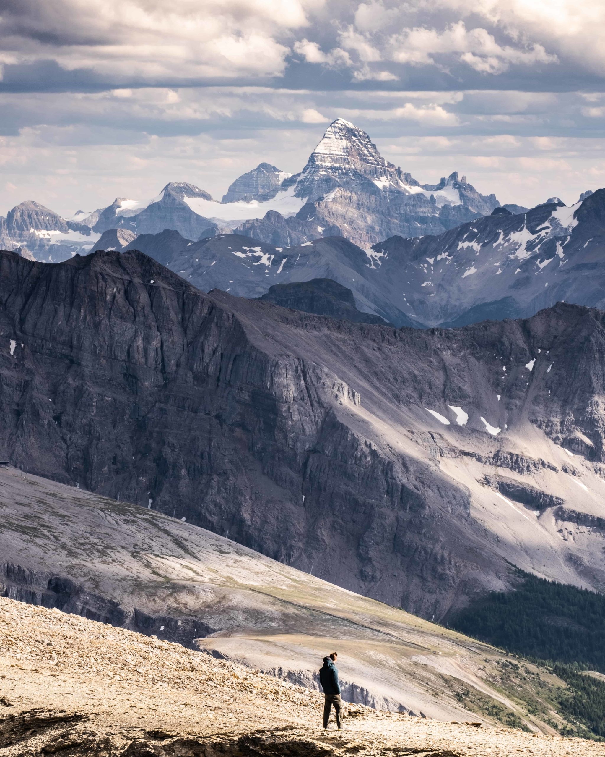
Mount Bourgeau is a 2,931-metre (9,616 ft) tall mountain with extraordinary views. It’s easily accessible from the town as it’s only a 10-15 minute drive to the trailhead. While the terrain is not challenging, the sheer length and elevation gain require strong legs and stamina.
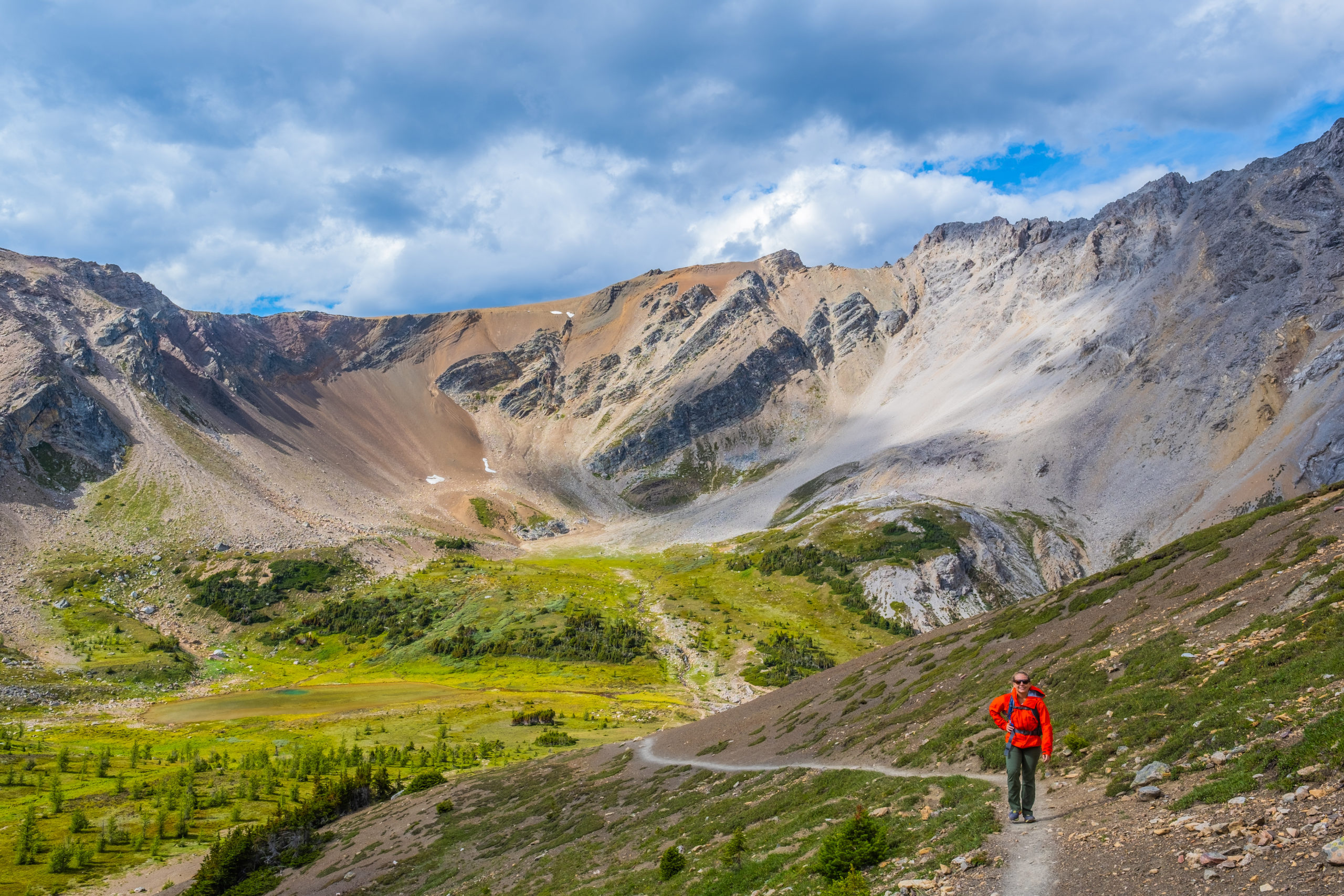
To reach Bourgeau Peak, you climb over 1,700 meters or 5,600 feet and hike nearly 22 km. It’s one of the easiest peaks to summit in the Rockies, requiring no scrambling or climbing to reach the top. So if you want to come to Banff to summit a mountain – Bourgeau may be what you are looking for. On the way to the peak, you cross the lovely Bourgeau Lake, witness stunning views from Harvey Pass, and the whole park opens up from the summit. It’s an expansive view that never disappoints.
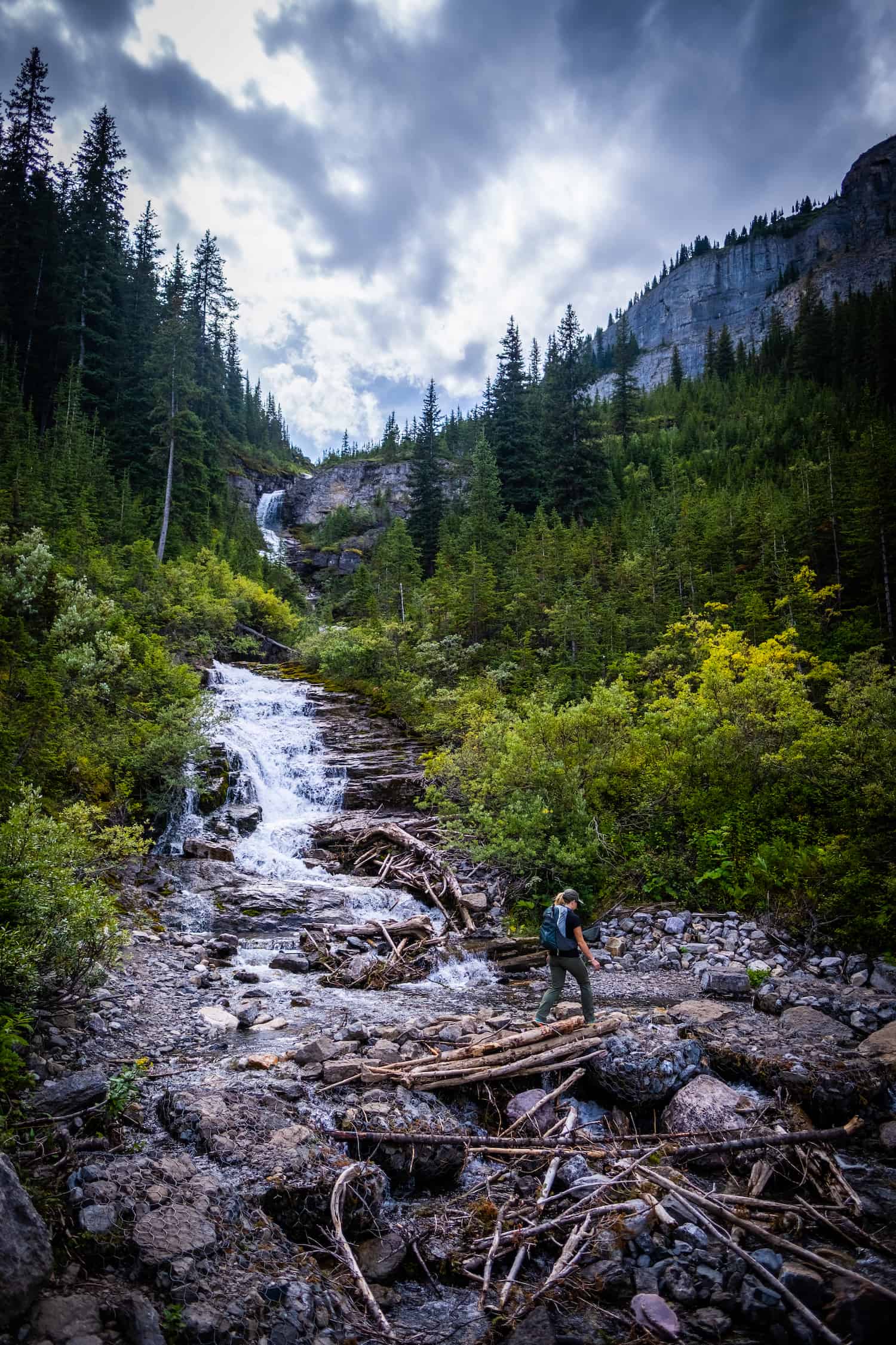
You have a few options for the hike, as you can choose to go just to Bourgeau Lake or Harvey Pass, each cutting a large chunk of the hike out. This makes it a great hike in Banff for all skill levels, as it can be adjusted. We completed the trip up to the summit in around five hours, with over a half-hour at the summit. Unless you’re trail-running, don’t expect to complete it much sooner, as the average time is around eight hours. This is a full-day hike, so come prepared with lunch, water, and snacks.
Tunnel Mountain
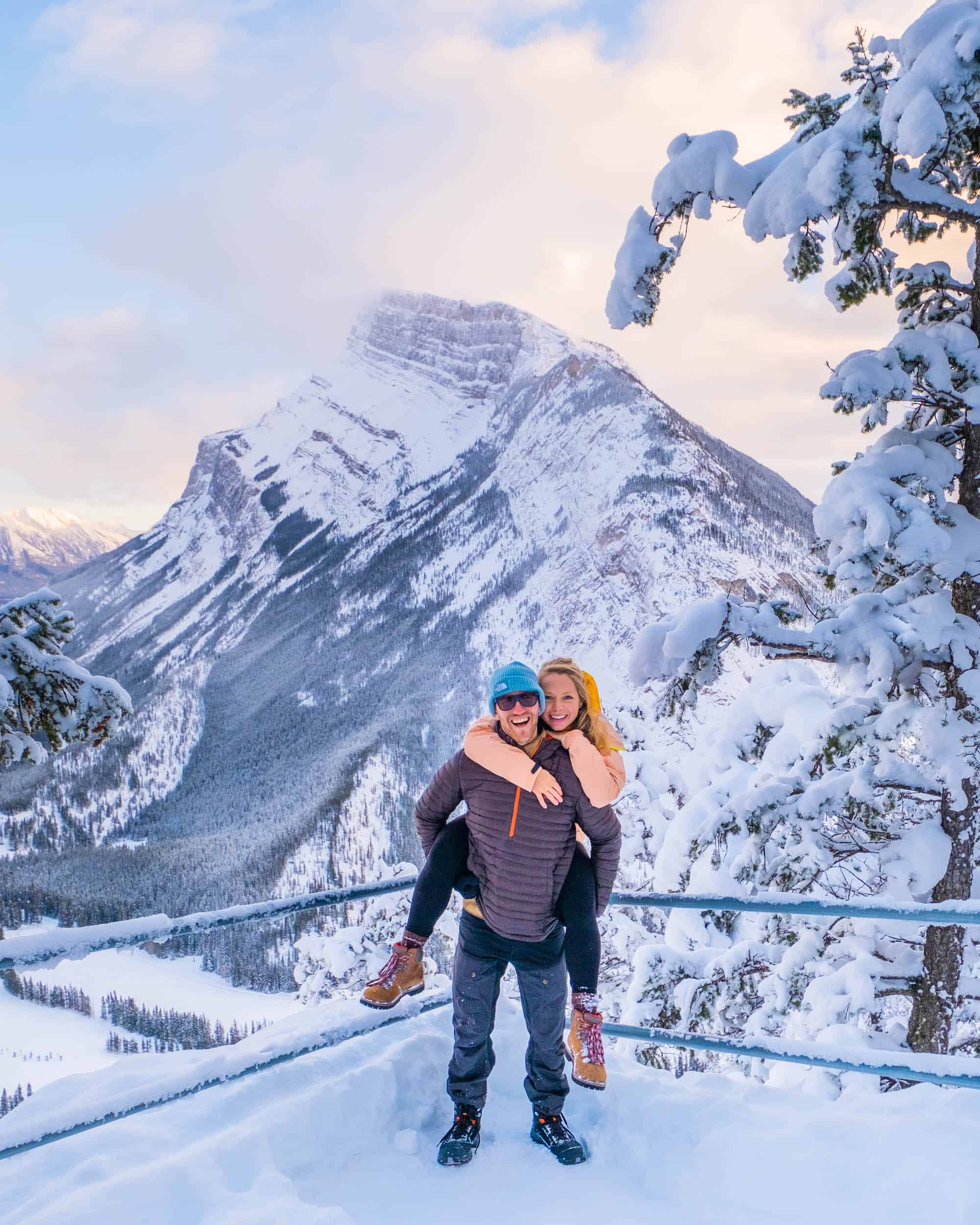
- Length: 4.8 km.
- Duration: 1 hour+
- Elevation Gain: 266 meters
- Difficulty: Easy
- Best Time To Go: Year-Round
- Parking: Three official parking lots (we like this one) or walk from Banff Town Center.
Tunnel Mountain is a classic hike right in the heart of Banff and a great hike in Banff if you are visiting without a car. There aren’t many hikes accessible from the town center, but Tunnel Mountain is a short walk from Banff Ave. Locals love it for its accessibility and because you can easily hike it year-round. Although it may be one of the smallest mountains in Banff, it still offers tremendous views of the surrounding valleys.
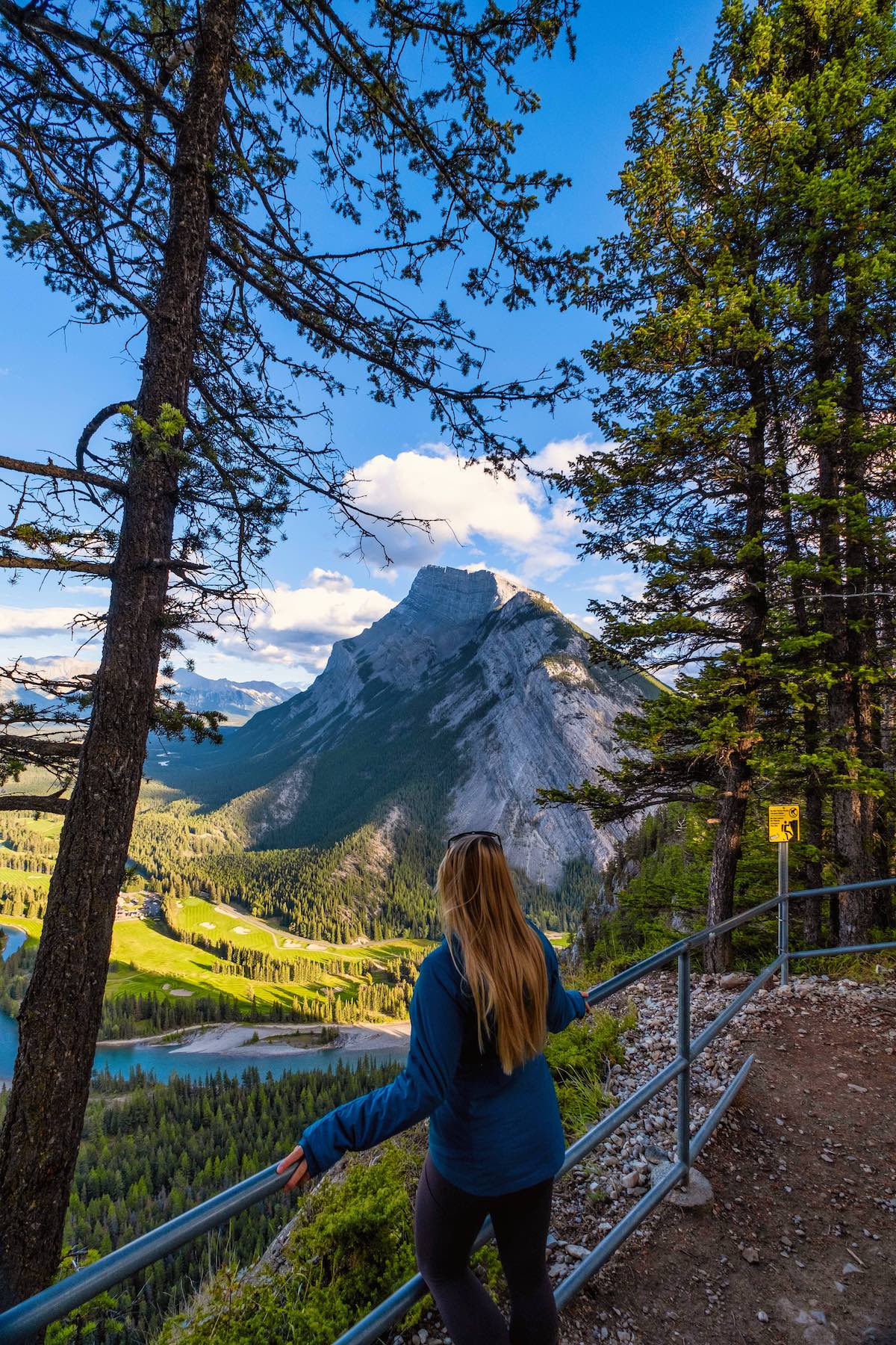
The hike moves slowly up the small mountain through several switchbacks and offers various viewpoints over the Bow River and Mount Rundle. It’s great for sunrise or sunset and rarely disappoints. The viewpoint over the Banff Springs Golf Course and Mount Rundle near the summit is one of the favorite views in the Bow Valley.
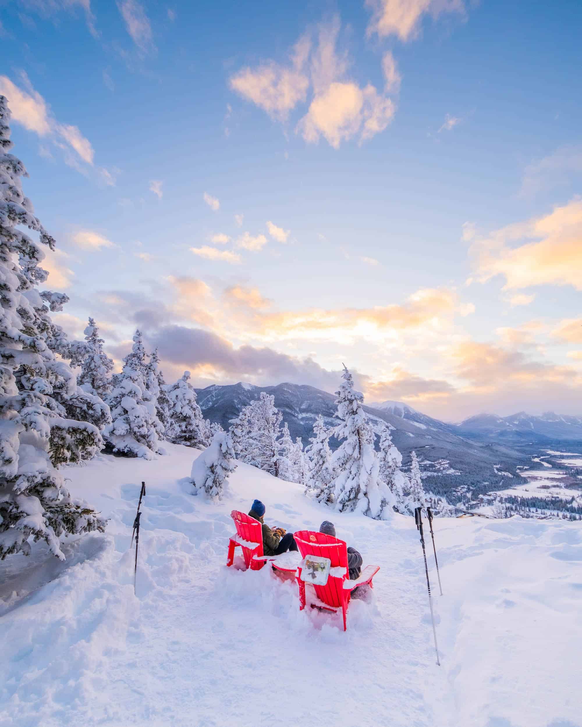
Tunnel Mountain is our choice if we want a workday hike that is short and sweet for fresh air. Tunnel Mountain is an easy hike for families or those with mobility issues but is also popular for trail runners looking for a quick jog up a mountain.
Sunshine Meadows
- Length: 8 km
- Duration: 2 – 5 hours
- Elevation Gain: 309 meters
- Difficulty: Moderate
- Best Time To Go: July – September
- Parking: Sunshine Village
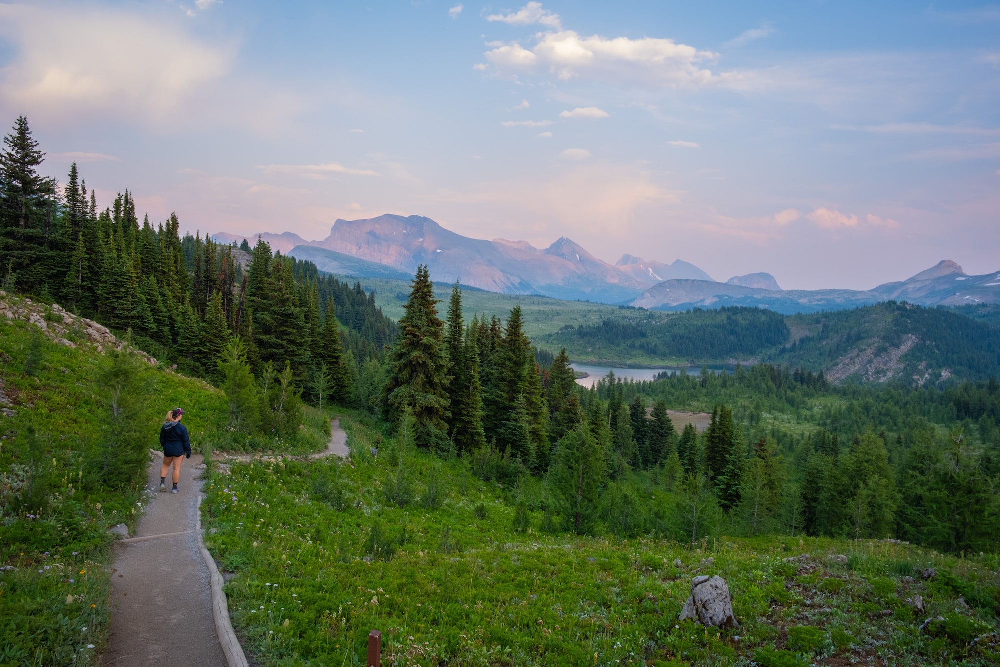
Sunshine Meadows is a popular area to take in tremendous alpine views and requires none of the work because the real leg work is done by the Sunshine Village Gondola. From the village, hikers have many options from the convenient base. Situated in an alpine meadow, the trails are flanked by a sea of wildflowers.
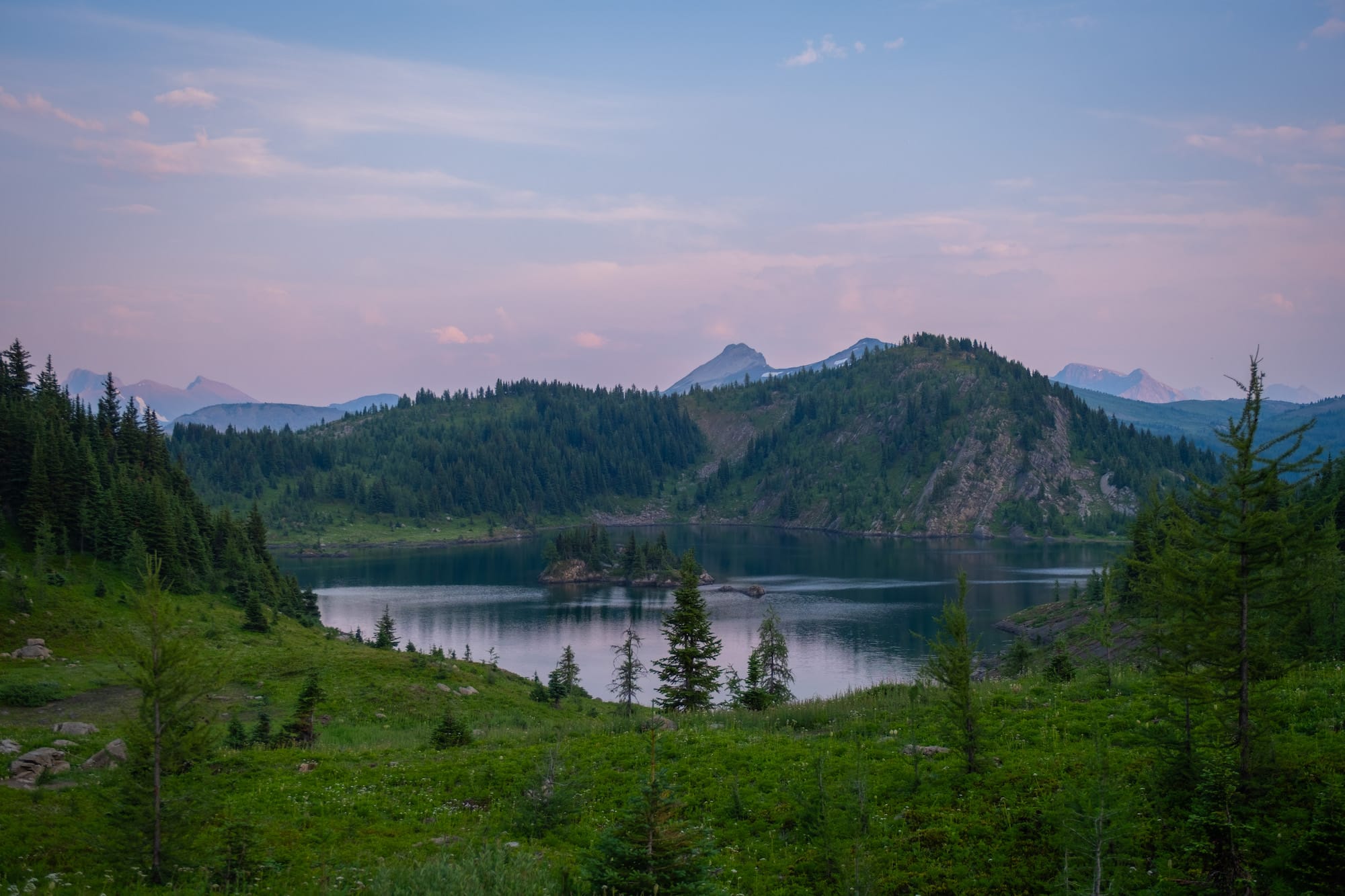
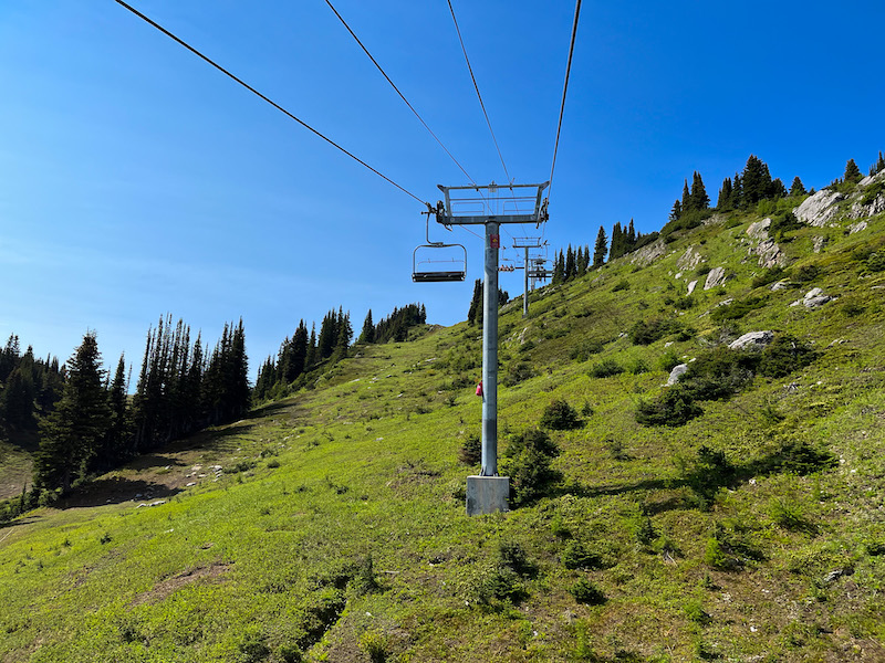
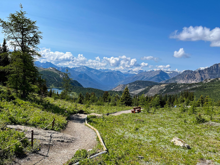
The classic hike to Rock Isle Lake follows the shoreline of two lakes, crosses an alpine larch forest, and has an amazing viewpoint that provides views out to Kootenay National Park. Walking through these alpine meadows feels like something out of a fairytale. There are many summer gondolas in the region, but the one here provides the best access for hikers.
Healy Pass
- Length: 17.6 km
- Duration: 5-7 hrs
- Elevation Gain: 655 meters
- Difficulty: Moderate
- Best Time To Go: July (wildflower season), September-October (larch season)
- Parking: Sunshine Village
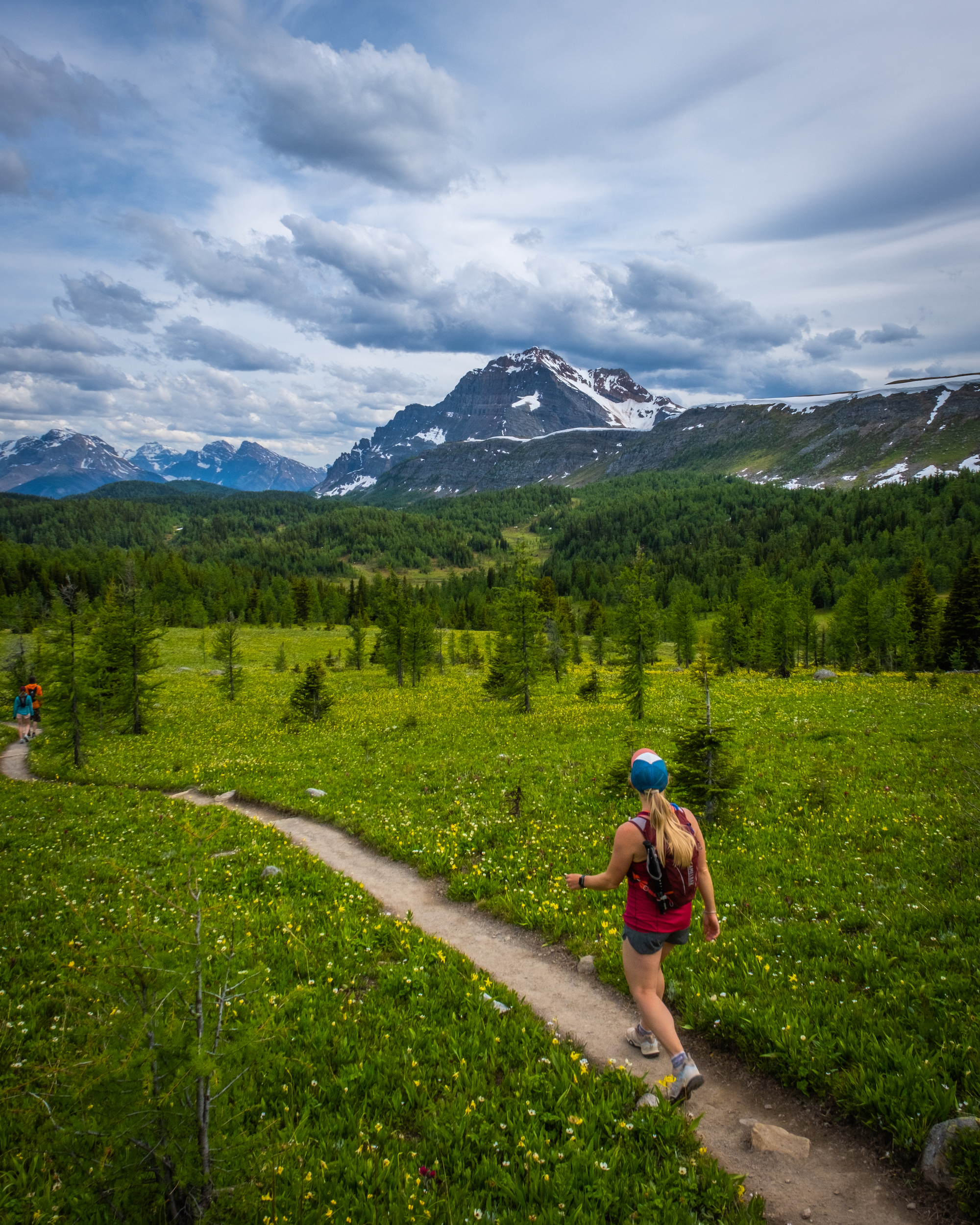
Healy Pass is a tremendous day hike that will surely be loved by everyone on the journey. It peaks twice a year – first in the early summer when the valley is flooded with millions of wildflowers and again in the fall when the thousands of larch trees turn gold. Once hikers reach the pass, they are rewarded with stunning views of the surrounding peaks and Egypt Lake further down.
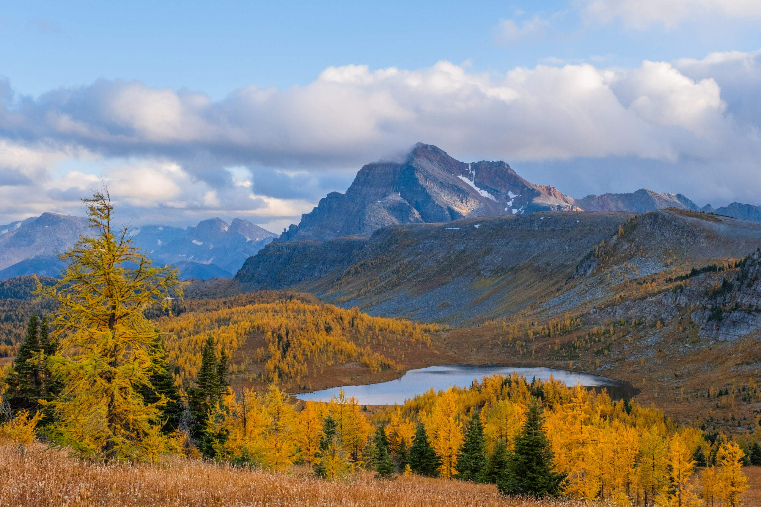
Parks Canada does a great job of maintaining the trail, and it remains one of the most popular hikes in the park. The trail begins at the Sunshine Village parking lot and gradually climbs through a shaded lush forest. After 8km, the forest gives way to a gorgeous alpine meadow and a wide expanse of wildflowers — it’s likely the best place to witness them in the park.
Past the meadow is the apex of the trail, Healy Pass, which provides amazing views of the surrounding peaks, including Mount Assiniboine. Those with strong legs can consider hiking to Egypt Lake, but it’s a big day best reserved for experienced hikers with strong fitness.
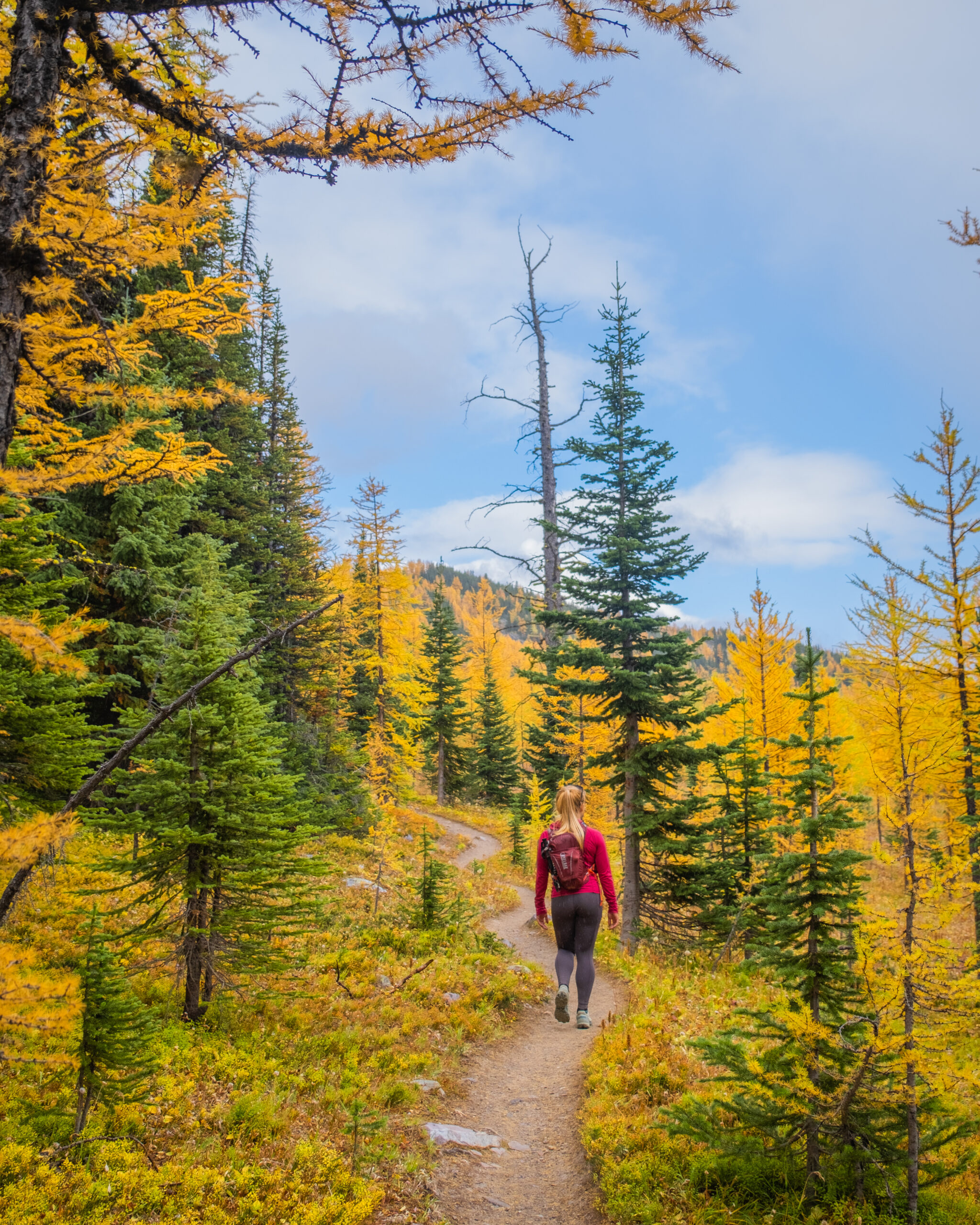
If there is one negative, it’s the long approach to this hike. As you walk through the forest for nearly 7 km, it can feel a bit like a slog. The forest can also be very muddy in wet weather, so wear high-ankle boots. However, as the trail opens up, you’ll quickly put that 7 km behind you. The gradual approach also makes for a pleasant climb compared to the many steep hikes in the Rockies.
Egypt Lake
- Length: +6km from Healy Pass
- Duration: 7-14 hrs
- Elevation Gain: 340 meters
- Difficulty: Difficult
- Best Time To Go: July (wildflower season), September-October (larch season)
- Parking: Sunshine Village
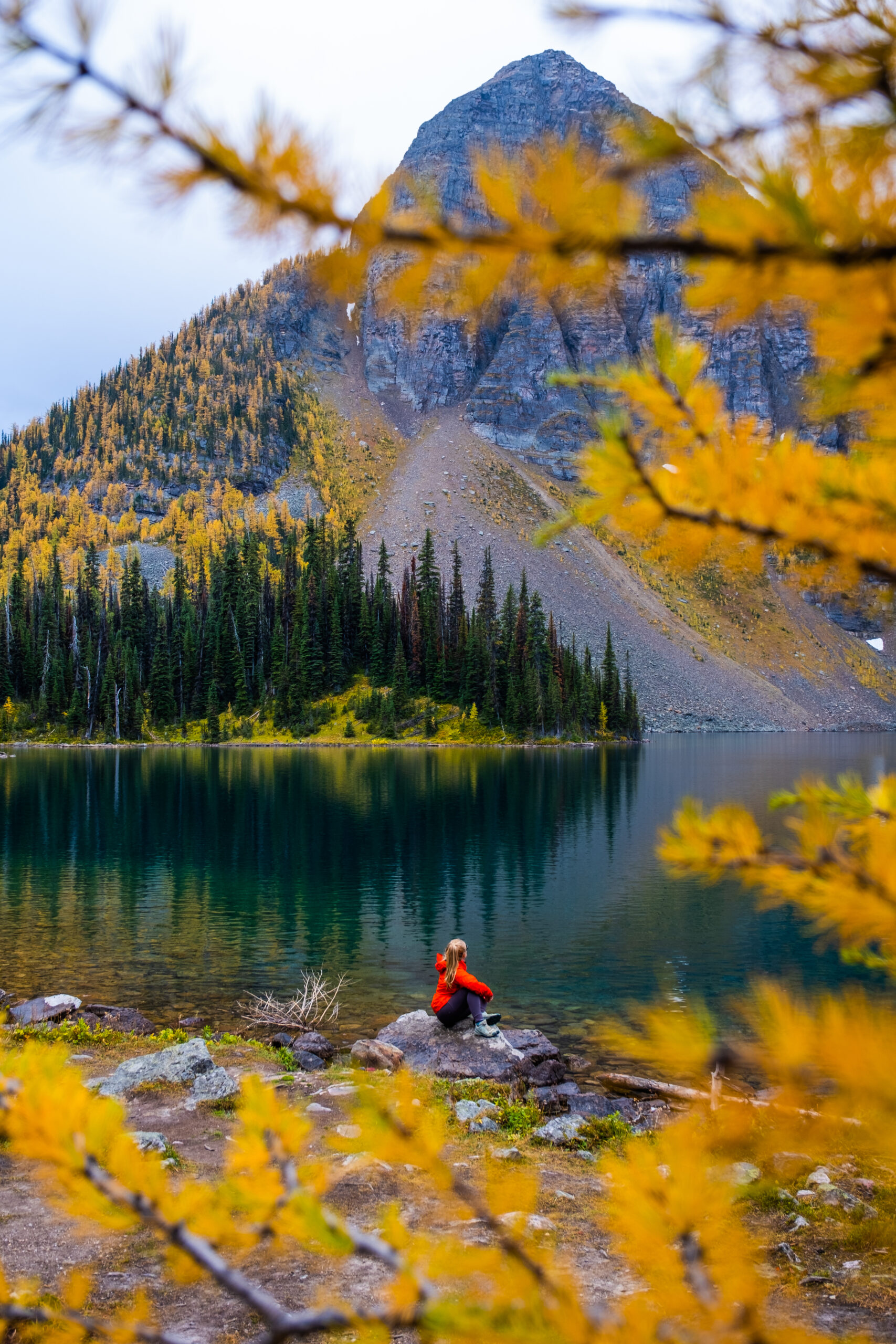
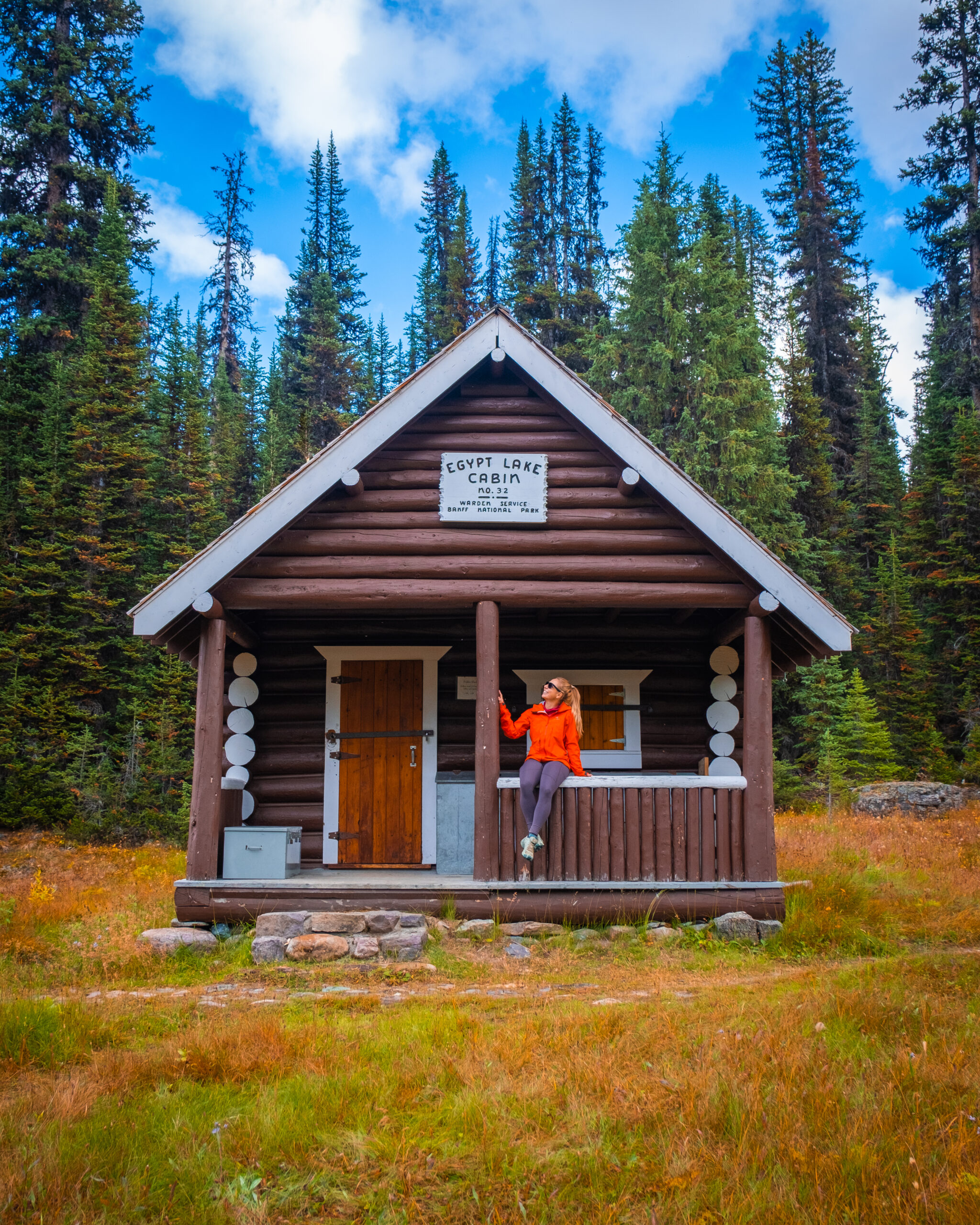
We’re noting Egypt Lake because it is an extension of Healy Pass. Visiting Egypt Lake in one day is long, but it’s possible if you are a fast hiker. That said, Egypt Lake does have a small backcountry campground, so hikers can stay overnight and possibly scramble up Pharaoh Peak the next day. You’ll need to plan this and reserve your campsite in advance.
The trail down to Egypt Lake starts from the top of Healy Pass. You’ll actually descend about 400 meters to get to the lake, which sounds simple after the climb to Healy Pass, but remember you have to climb it back out, thus creating a long day.
We hiked to Egypt Lake and back in one day, and it took us around 6.5 hours from the Sunshine Village parking lot, but I highly suggest camping so that you don’t have to be so rushed and can enjoy the scenery.
Parker Ridge
- Length: 5.4 km
- Duration: 2-4 hrs
- Elevation Gain: 269 meters
- Difficulty: Easy
- Best Time To Go: June-September
- Parking: Parker Ridge Trailhead
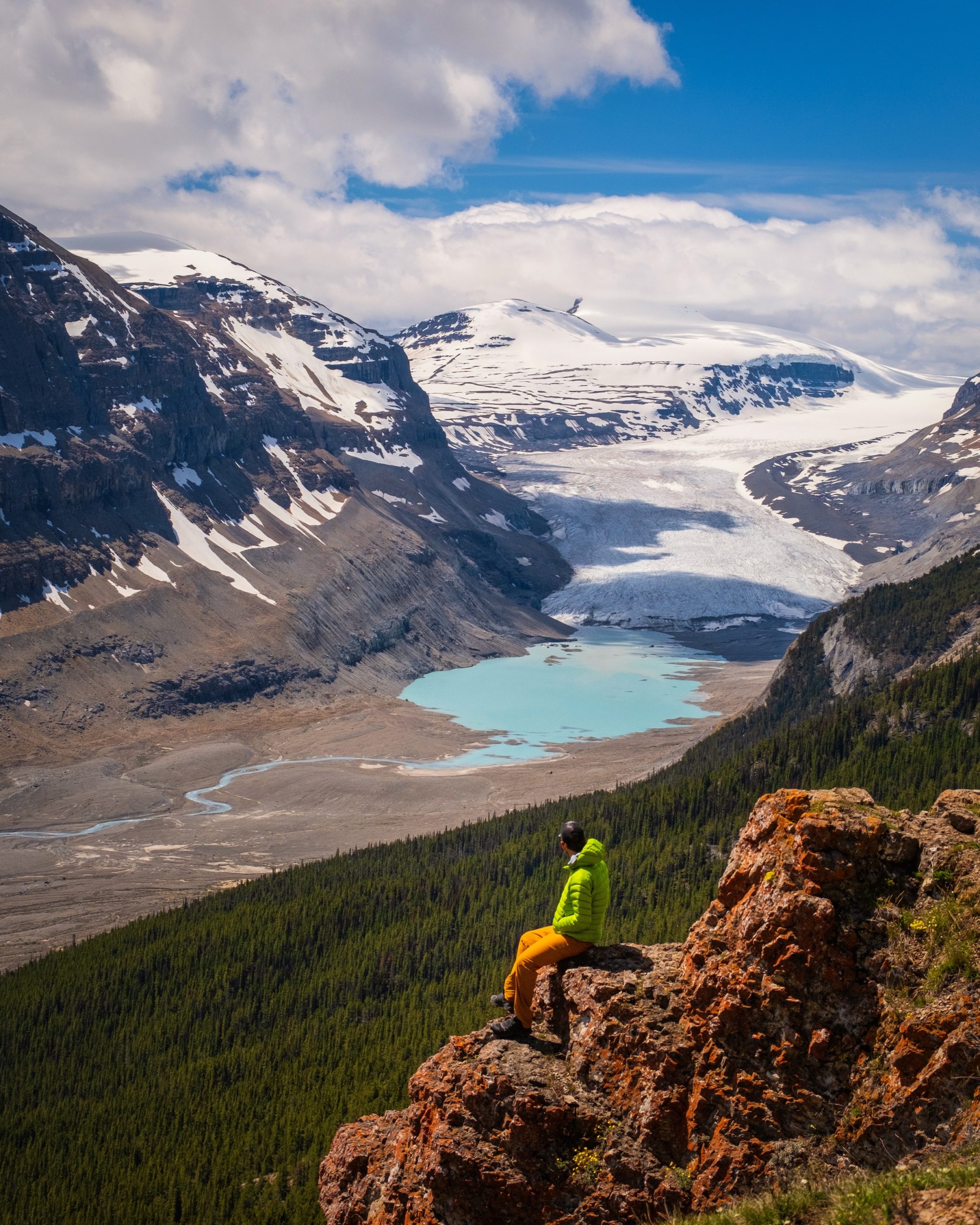
It doesn’t get much better than Parker Ridge, where you can enjoy amazing views with relatively easy effort. The hike is off the Icefields Parkway and offers astounding views of the Saskatchewan Glacier and surrounding peaks. The only issue is that it’s about a two-hour drive from town, so we recommend hiking the trail when driving the Icefields Parkway.
It’s a pretty straightforward and well-trodden trail the entire way up. The trail has a series of switchbacks, which make a gradual incline up to the top. It’s great for the entire family, those with mobility issues, or whoever just wants a nice, easy day out! We saw older people, young children, and dogs on this hike.
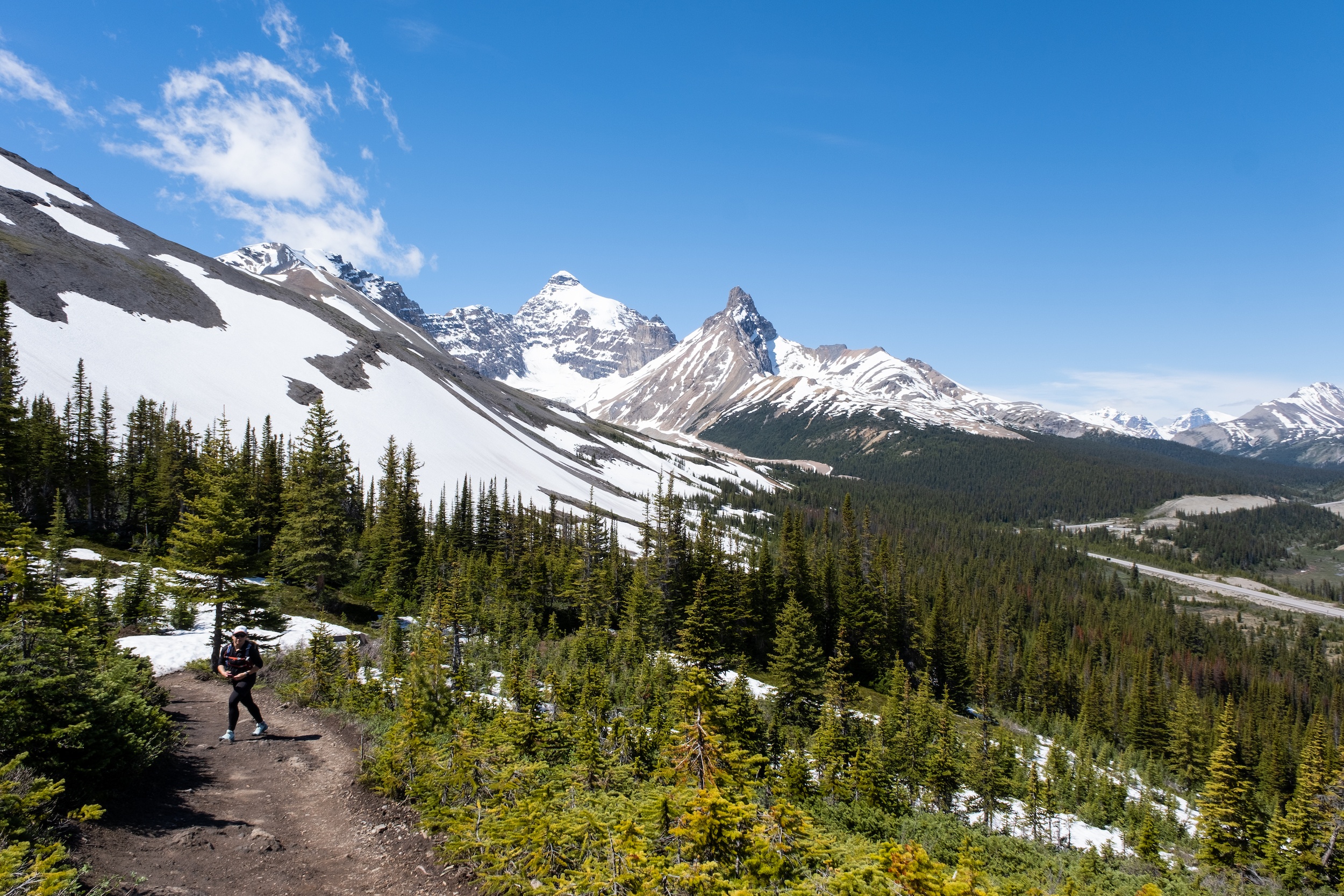
When you reach the ridge, you will be blown away by the views over the impressive glacier and the beautiful bright blue lake- seriously, it doesn’t get much better! This trail holds a lot of snow, so either bring gaiters or be prepared to get your feet a little wet if hiking outside of July and August.
This Banff hike took us under two hours, with plenty of photo stops. We usually hike a lot longer and harder for views that are half as good, so it’s an easy hike to recommend. It’s also a prime spot for wildflowers, so you may be in for a treat once they bloom.
Sentinel Pass/Larch Valley
- Length: 11.6
- Duration: 3 – 6 hours
- Elevation Gain: 792 meters
- Difficulty: Moderate
- Best Time To Go: July – September
- Parking: Moraine Lake
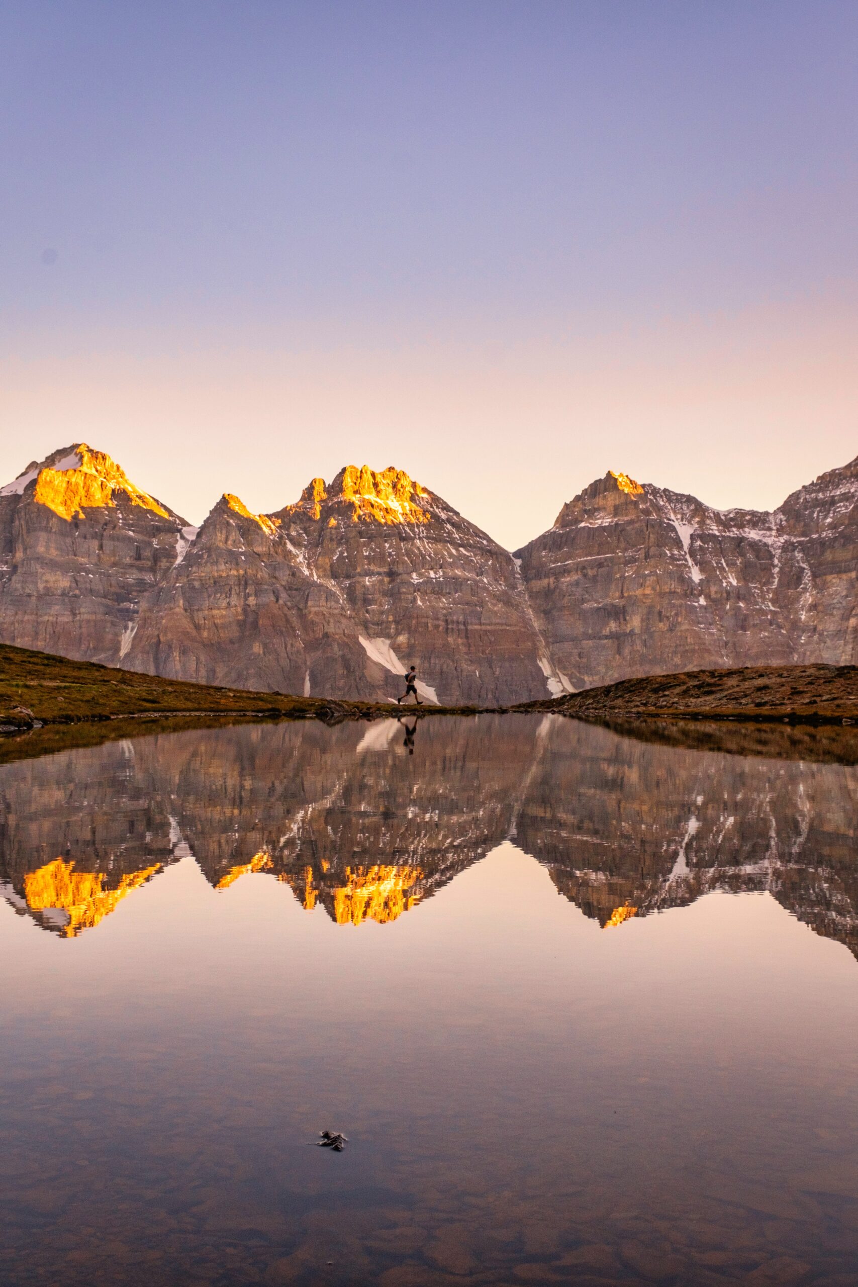
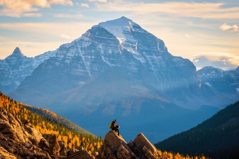
This is the quintessential Canadian Rockies hike. Sentinel Pass is fairly challenging, hugely popular, and offers some of Canada’s most stunning natural scenery above Moraine Lake. It’s a soul-stirring scene that can easily be considered one of the best day hikes in the world. We’re particularly fond of the views back to the famed Valley of the Ten Peaks.
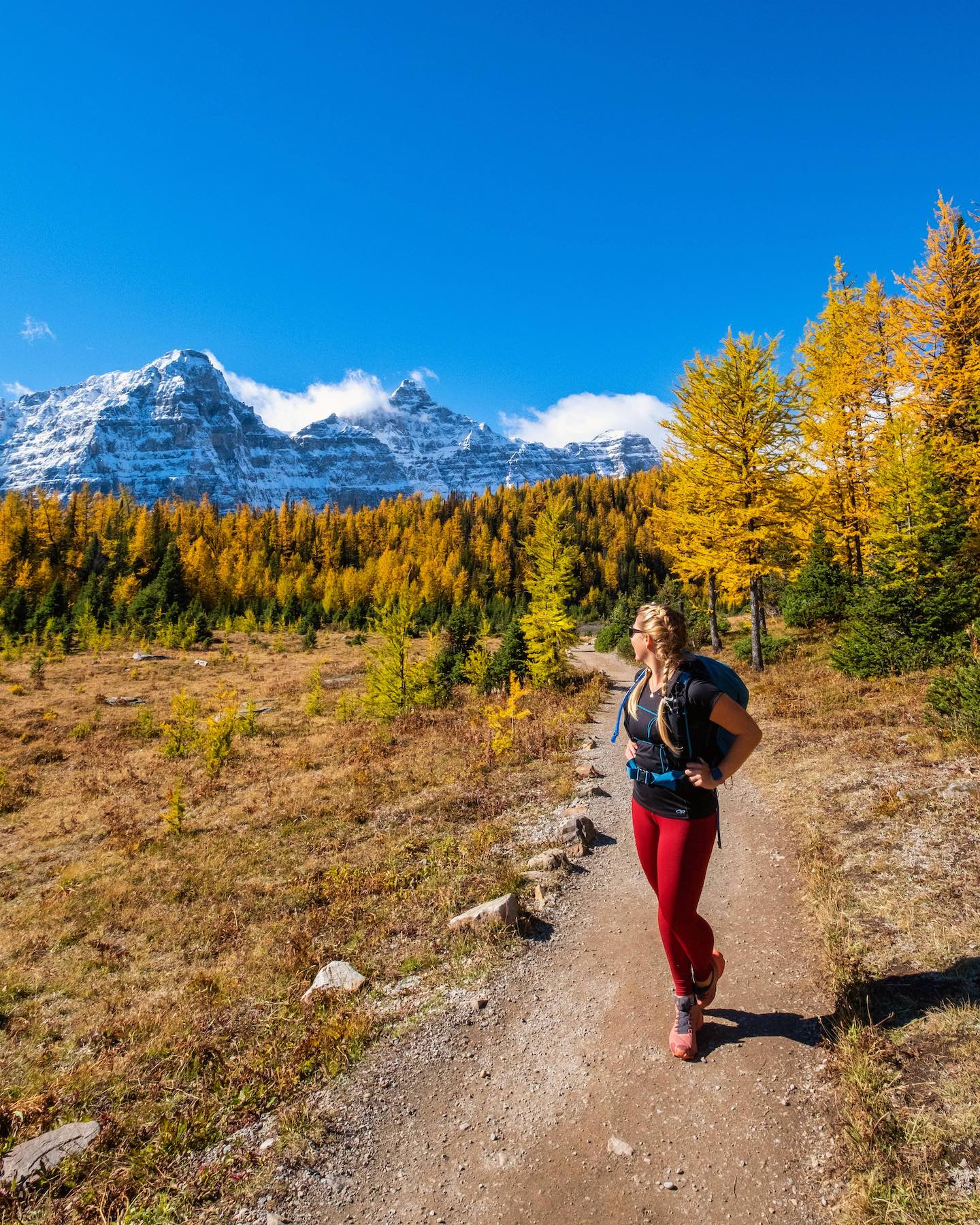
The pass is well known in the park and attracts hundreds of photographers and hikers during the larch season in late September. During this period, the valley trees turn bright gold, and the mountains are topped with the first signs of the new season’s snow. The top of the Pass offers tremendous views down into Paradise Valley and unique rock features from Mount Temple.
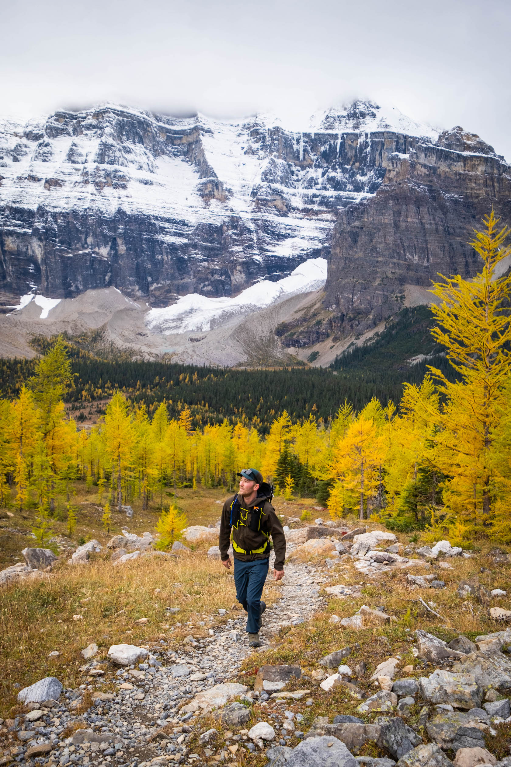
Most people stop at the top of Sentinel Pass and return to Moraine Lake. However, if you are looking for an extra-long day out, you can drop off the backside of Sentinel Pass and into Paradise Valley. The Paradise Valley trail connects you to Lake Louise on one epic point-to-point hike, but be forewarned it’s over 20 km and a very long day out.
Helen Lake (+ Cirque Peak Scramble)
- Length: 12 km
- Duration: 3-5 hours
- Elevation Gain: 533 meters
- Difficulty: Moderate
- Best Time To Go: July – September
- Parking: Helen Lake Parking Lot
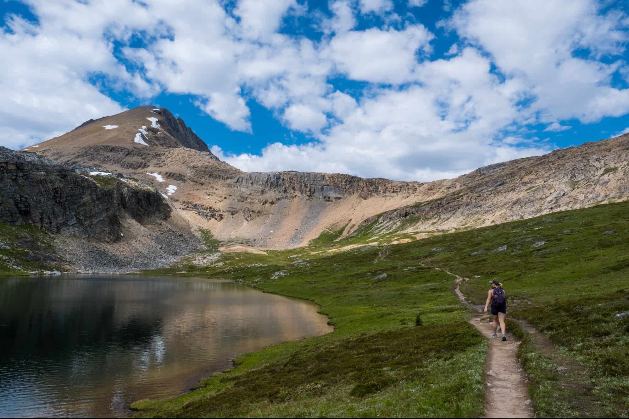
Helen Lake is a beautiful alpine lake along the Icefields Parkway and one of our favorite trails. It’s far less popular than nearby Bow or Peyto Lake. While the water is not glacier-fed bright blue, it’s just as beautiful. Visiting a lake away from the crowds and development is a great opportunity.
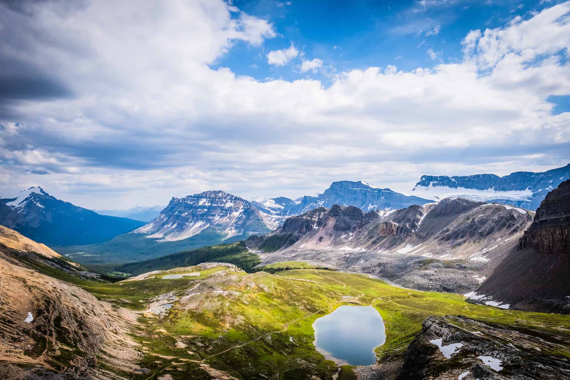
To get to Helen Lake, you must hike on a moderate trail for 6km (one way). The trail is well-maintained and absolutely stunning, with views of mountains and blooming wildflowers everywhere! Bring lunch here and enjoy the views once you reach Helen Lake.
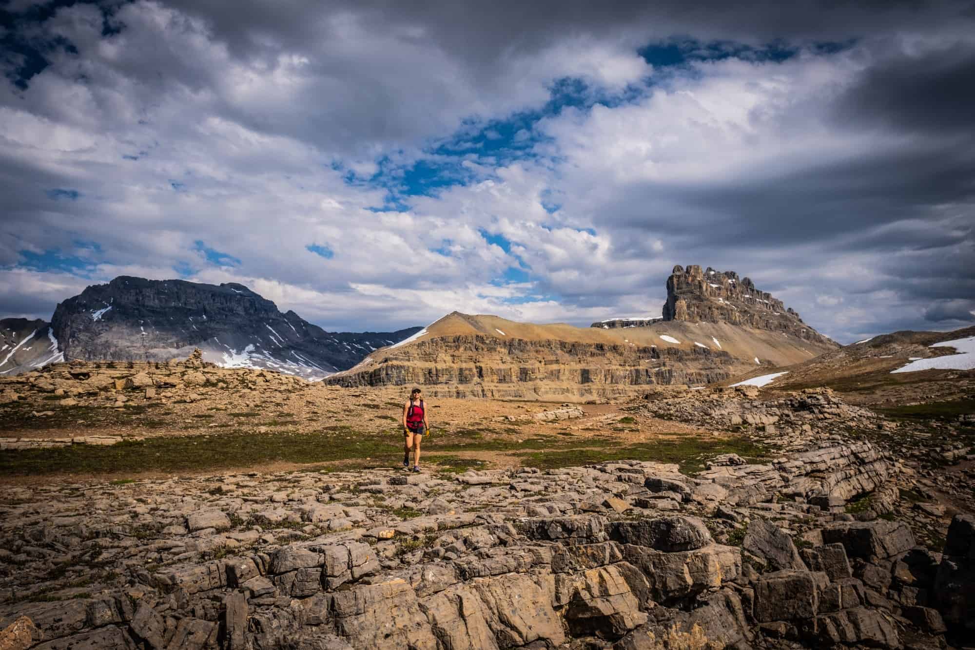
Due to the stunning alpine meadow views out to Mount Hector, the hike can draw a small crowd, so be prepared for limited parking. From Helen Lake, you can head up to the Dolomite Pass, which provides views of Lake Katherine.
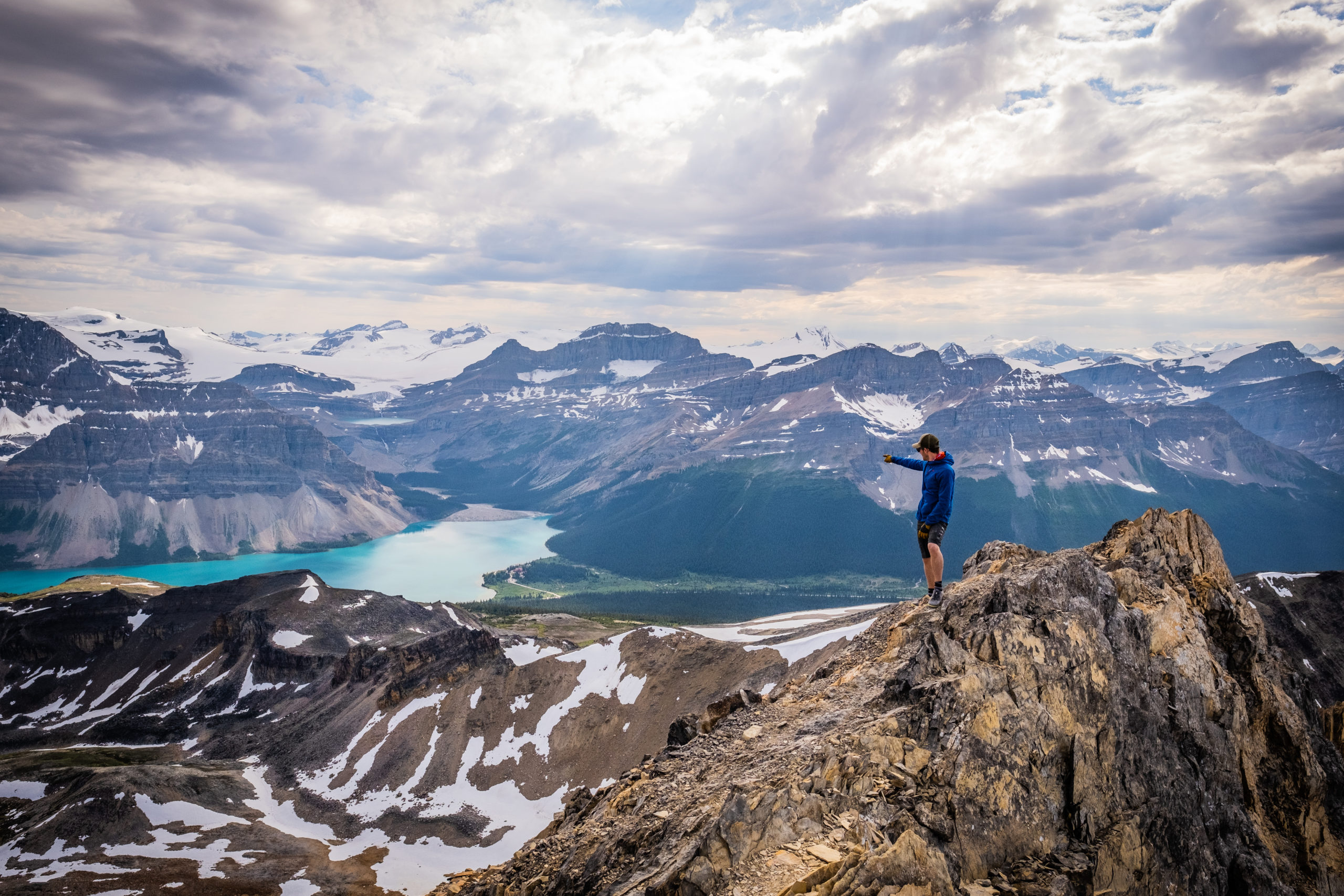
If you want to add more, the climb to Cirque Peak is great for a first-time scramble in the Rockies. However, it is still a big mountain, and the last few moves to the summit require secure footing as there is a slight bit of exposure. A fall from the summit or the final climb up could be consequential.
Lake Agnes + Beehive Circuit (Little and Big Beehive)
- Length: 6.8 km
- Duration: 2 – 4 hours
- Elevation Gain: 385 meters
- Difficulty: Easy/Moderate
- Best Time To Go: June – October
- Parking: Lake Louise Parking Lot
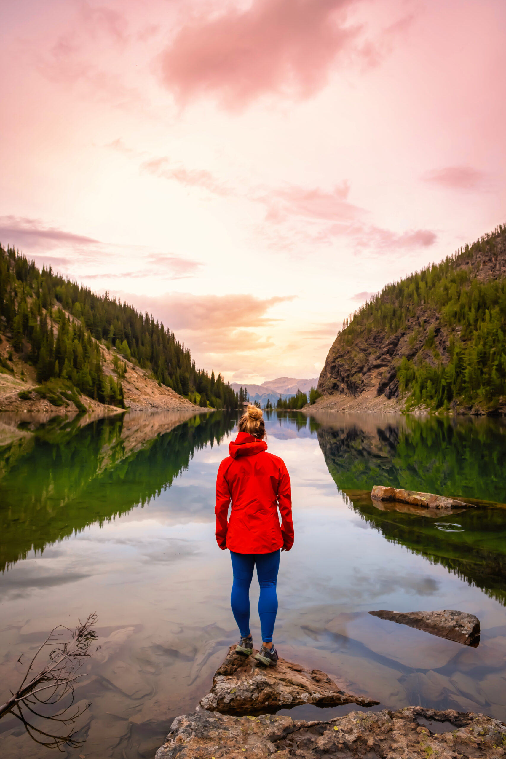
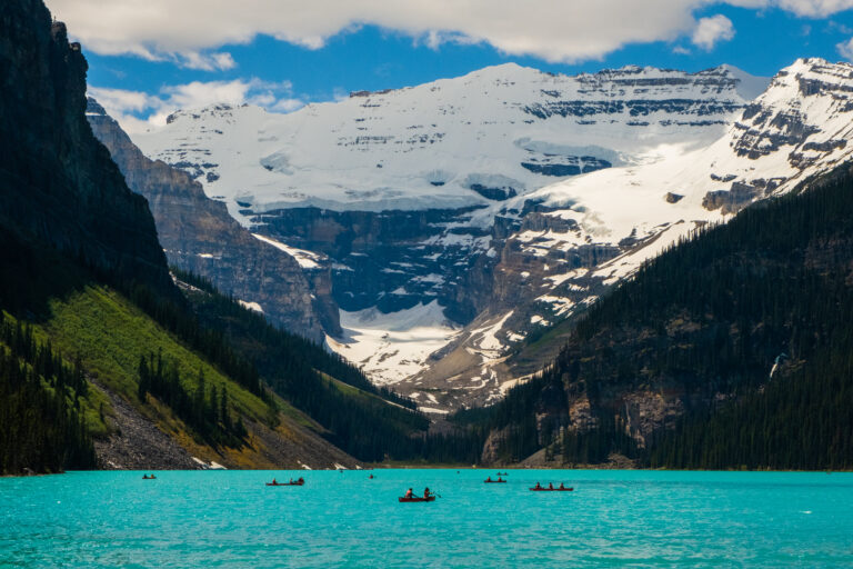
The Lake Agnes Tea House trek is popular with visitors to Lake Louise. It’s an easy-to-moderate hike above Lake Louise that is suitable for most visitors to Banff. The trail climbs above Lake Louise to reach Lake Agnes and a historic teahouse along its shore. Regarding settings, we could not think of a more ideal one for a picnic. It also makes for a good introduction to hiking in the Rockies for less experienced visitors.
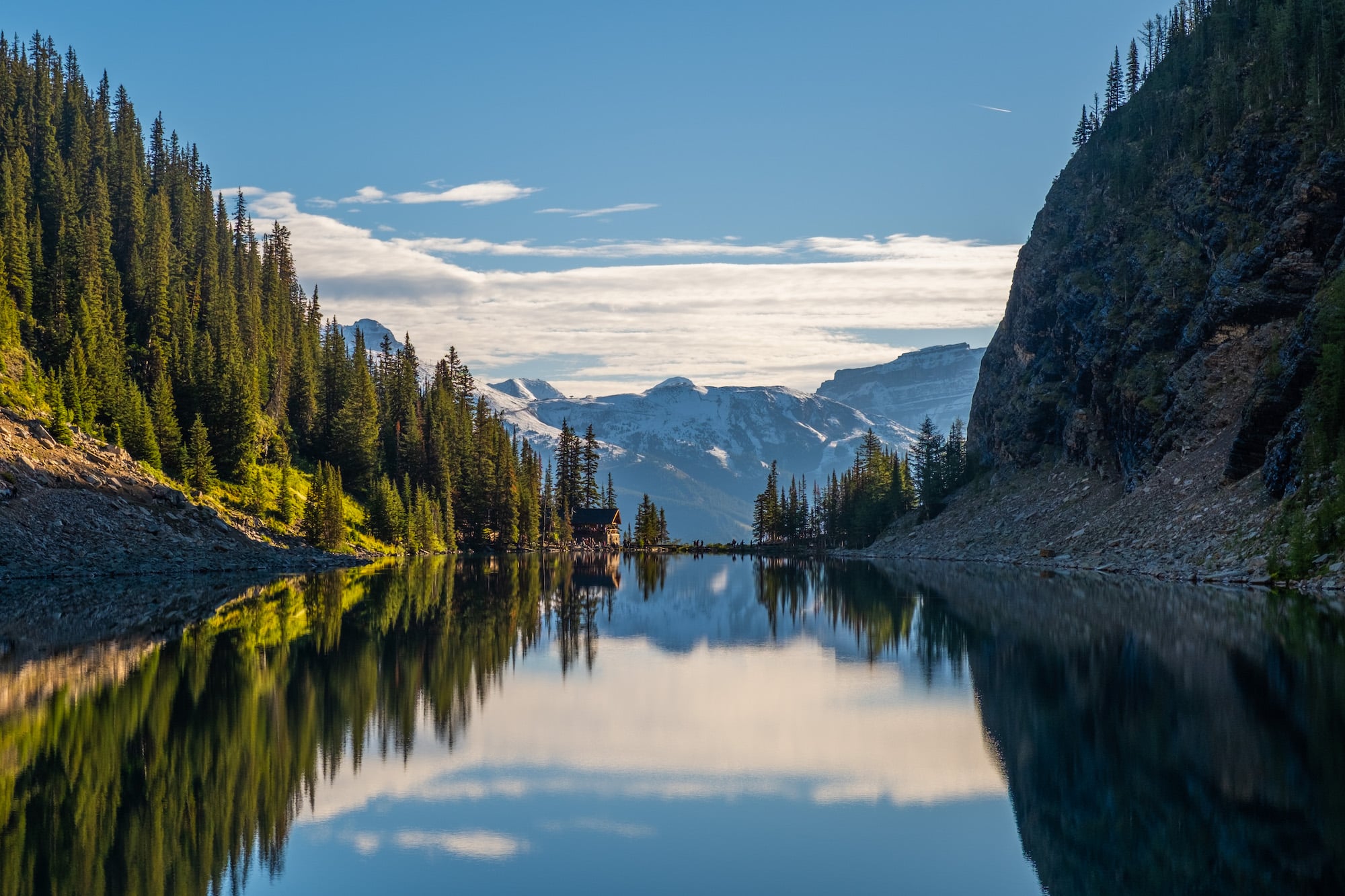
The trail has a few steep sections with roots, so we suggest decent footwear and a basic level of fitness. However, we believe most people can make it up to the teahouse. If you have plans to visit the teahouse, be prepared for long lines on a nice summer day. Our biggest warning comes in the shape of crowds—it is easily one of the busiest hikes in the park! That can be a plus for visitors slightly intimidated about hiking in bear country.
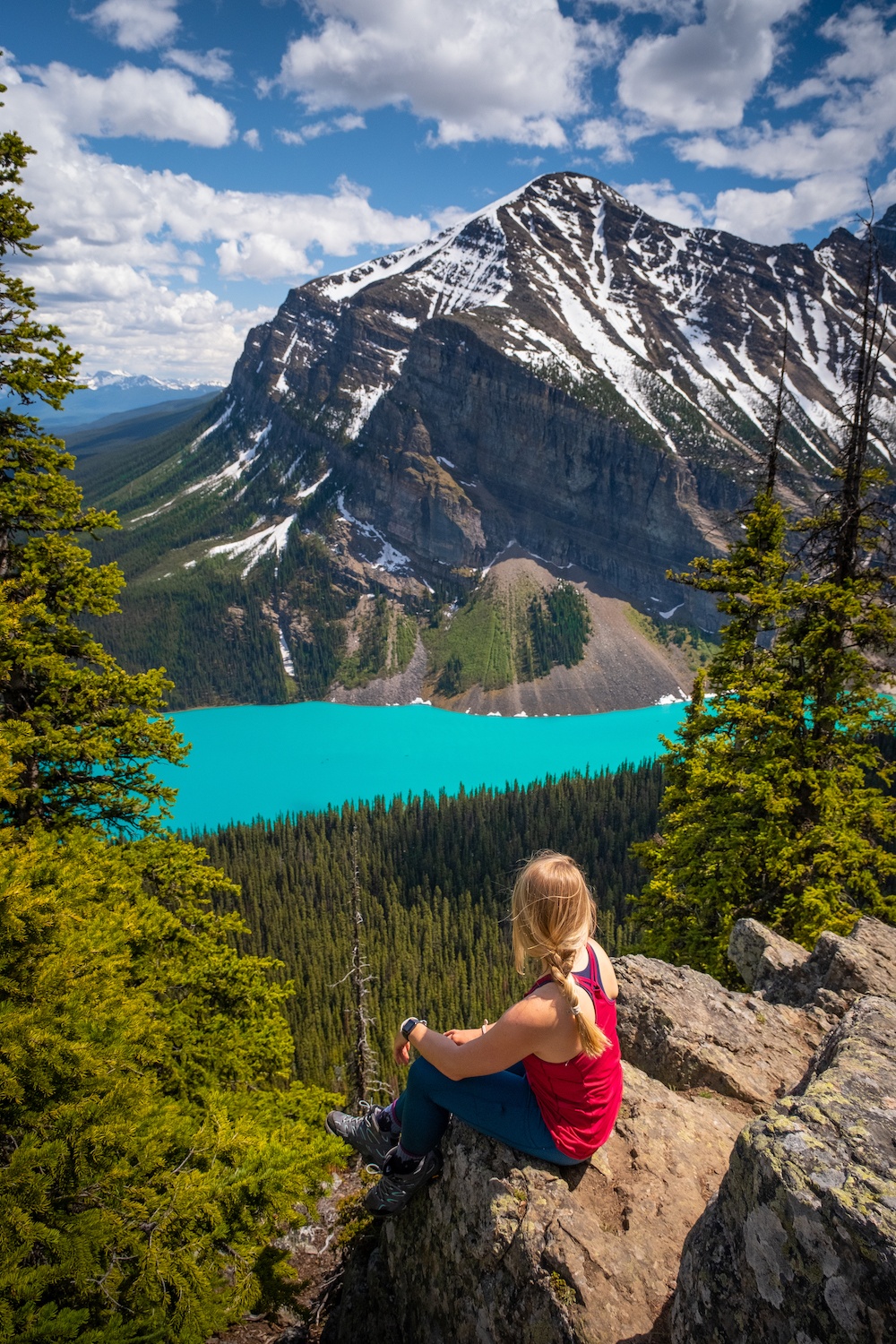
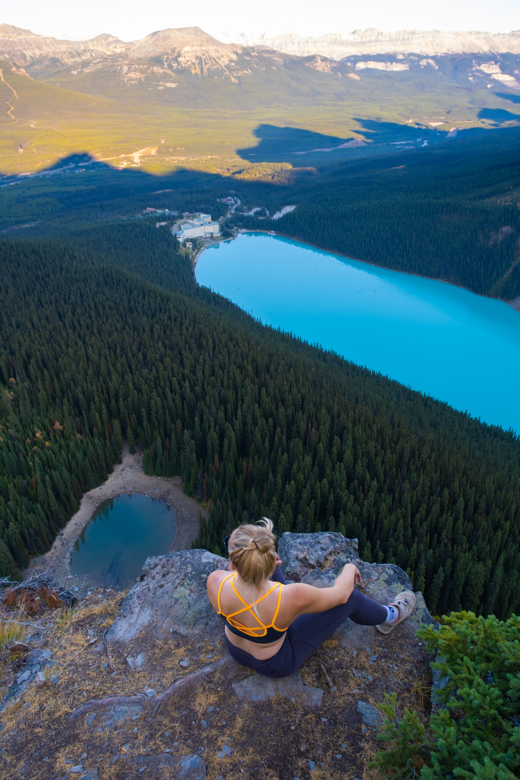
To escape the crowds and get better views, consider a hike up the Little Beehive or Big Beehive. They sit opposite each other above Lake Agnes, so visiting both requires climbing and descending. The Little Beehive is the easiest choice, while the views from the Big Beehive are better. The two beehives are considered “classics” around Lake Louise and have some of the best views in the park.
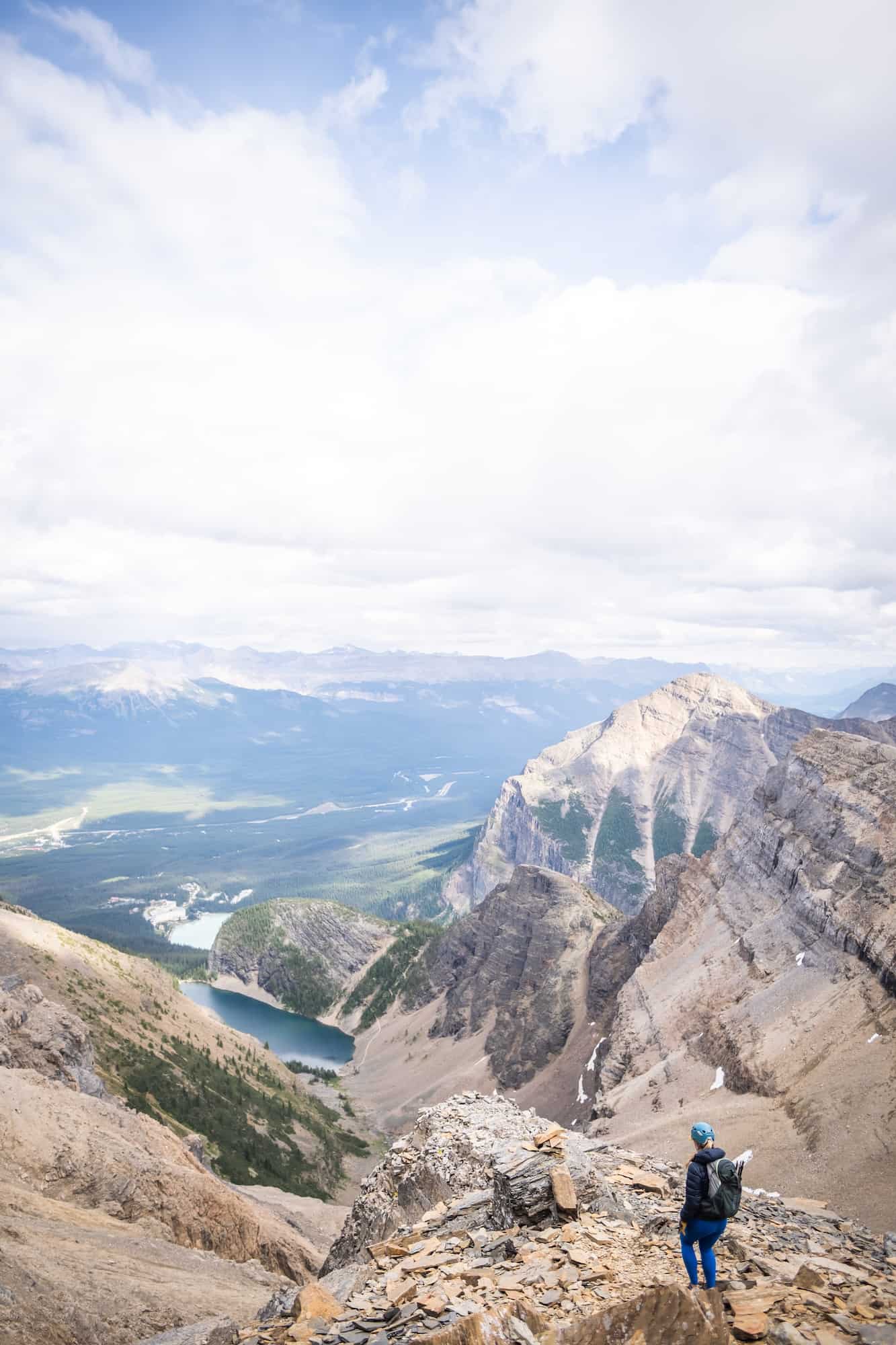
We’d rate the two hikes moderate/hard; the elevation gain may be too much for many. Those seeking even more of a challenge should check out Mount St. Piran or Devil’s Thumb, which are scrambles. The next step for an experienced scrambler/climber would be to summit Mount Niblock or Mount Whyte (difficult scrambles).
Mount St. Piran
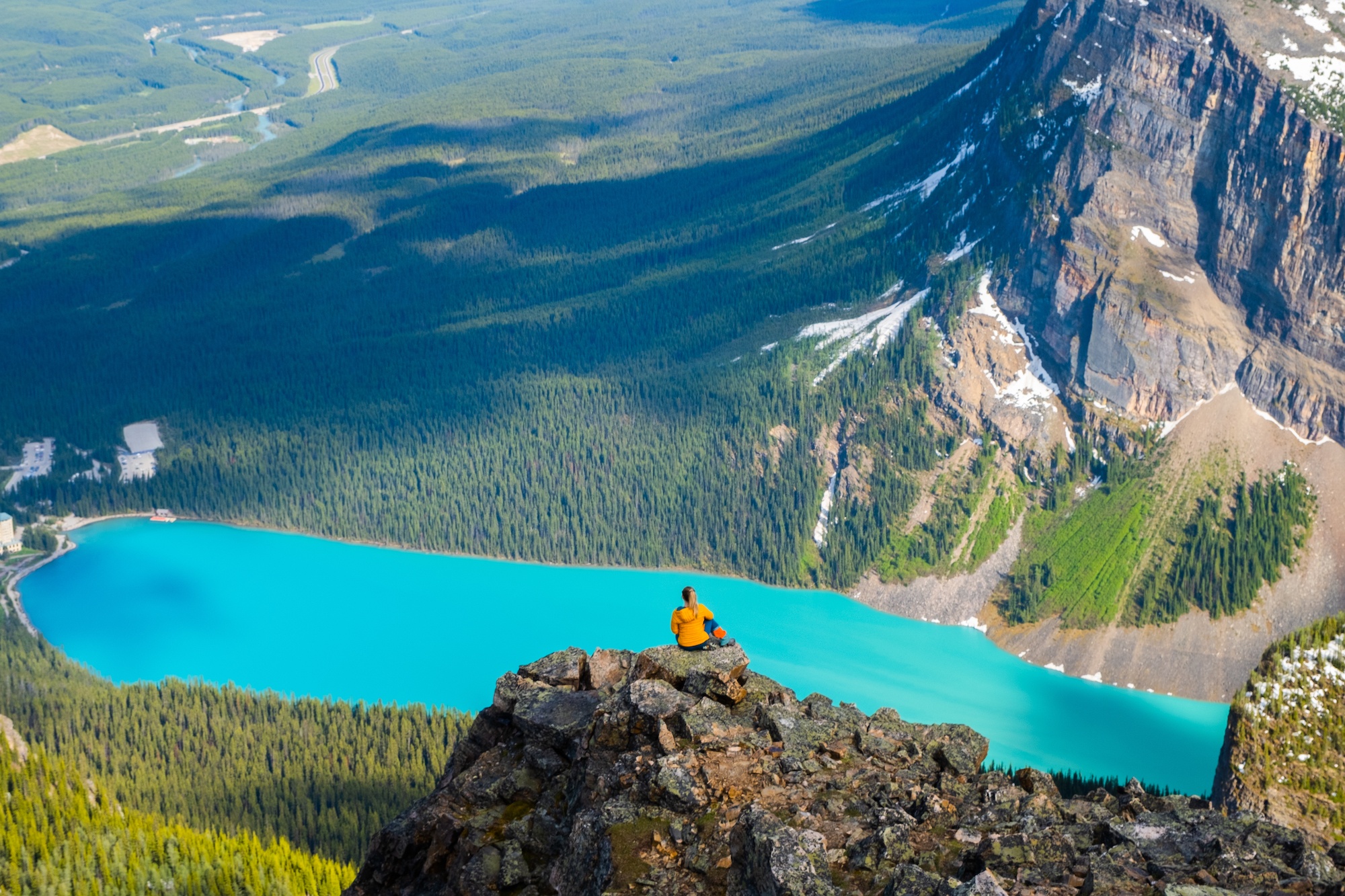
- Trailhead: Lake Louise
- Distance: 12.2 km
- Elevation: 918 meters
- Difficulty: Scramble
- Best Time To Hike: June – October
- Time: 3-6 hours
If you’ve been up the Little Beehive and want a mountain summit, we highly recommend Mount St. Piran. It’s classified as an easy scramble but little more than a physical challenge with some off-trail hiking and easy route-finding. Although it is steep, the views over Lake Louise and the Bow Valley are phenomenal.
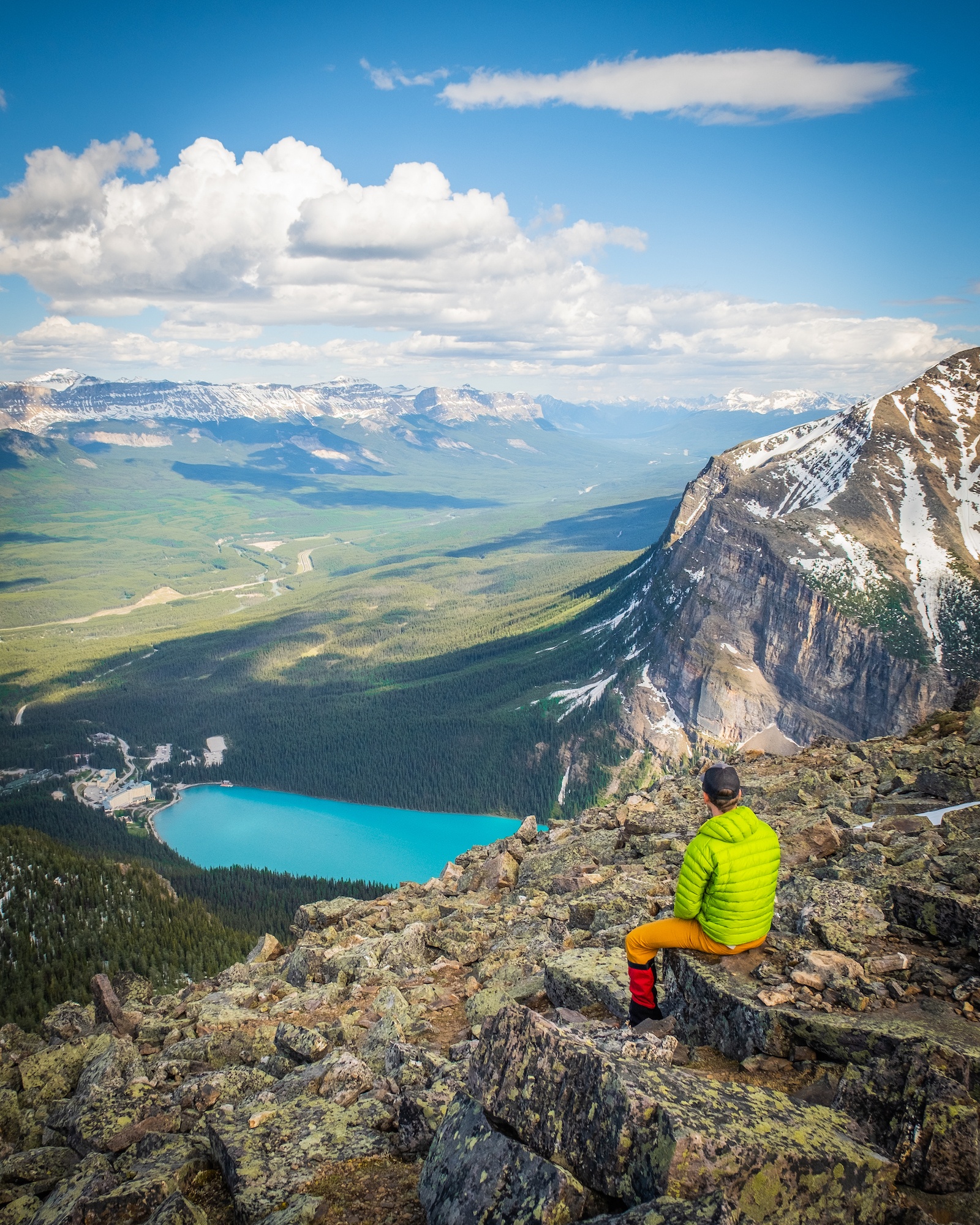
It’s a good early-season objective once the snow melts off the avalanche slopes, as there is no exposure on the route. There are multiple ways up Mount St. Piran, but the most straightforward is via the Little Beehive trail. Since the route begins at Lake Louise, one of the hardest parts of the day is securing parking or a shuttle reservation.
Cory Pass – Mt Edith Pass Circuit
- Length: 15km
- Duration: 4.5 -7 hrs
- Elevation Gain: 1,168
- Difficulty: Difficult
- Best Time To Go: June – October
- Parking: Cory Pass Loop Trailhead
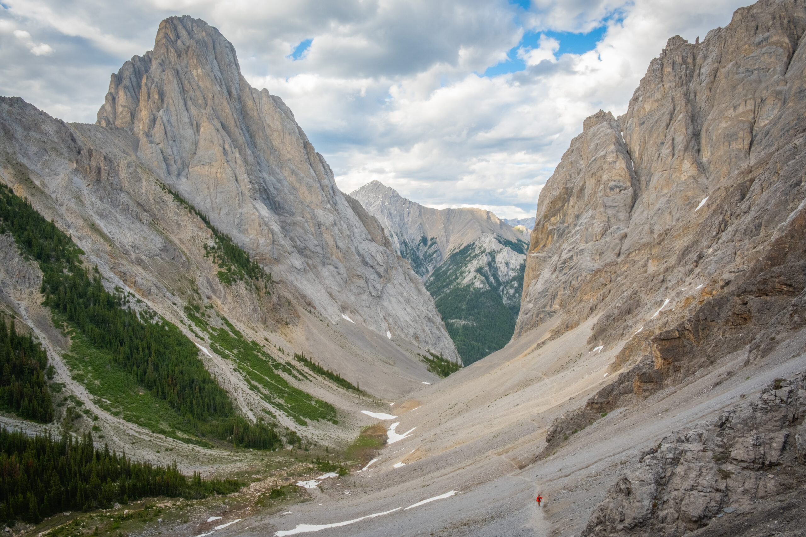
Cory Pass is a great hike close to town with wonderful alpine views under massive cliff faces in the otherworldly “Gargoyle Valley.” It’s one of the more physically demanding hikes on this list, but it’s very rewarding. You’ll need decently strong legs to climb to Cory Pass, as it’s a steep grind-up with a quick elevation ascent, and a few moderate steps over rock faces. Pretty much right from the get-go, you are ascending quickly if you choose to go the recommended clockwise route up Cory Pass and around to Edith Pass. The elevation gain doesn’t stop until you reach the top of the pass where you’ll get great views of the Bow Valley, you might even see the tip of Mount Assiniboine on a clear day.
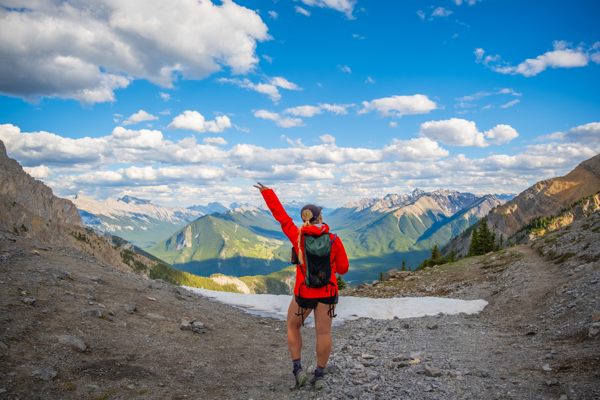
Once in the pass, the mountains encompass you, leaving you humbled by the scale. We couldn’t get over the sheer cliff face of Mount Louis and Mount Edith, while walking through Gargoyle Valley – a unique area of Banff National Park.
Once at the top of the pass, you can either head back the way you came or complete the full loop hike and exit through Mount Edith Pass, mainly through the forests. To do the full loop is a 15 km day with 1000 meters of gain, taking between 5-7 hours. This is a worthy objective for anyone looking for a challenging but rewarding day out in Banff. We recommend doing this hike clockwise so that you ascend the steepest parts of the hike instead of descending, making it much more difficult and hard on the knees.
Wilcox Pass
- Length: 9.3 km
- Duration: 3-5 hours
- Elevation Gain: 522 meters
- Difficulty: Moderate
- Best Time To Go: July – September
- Parking: Wilcox Pass Trailhead
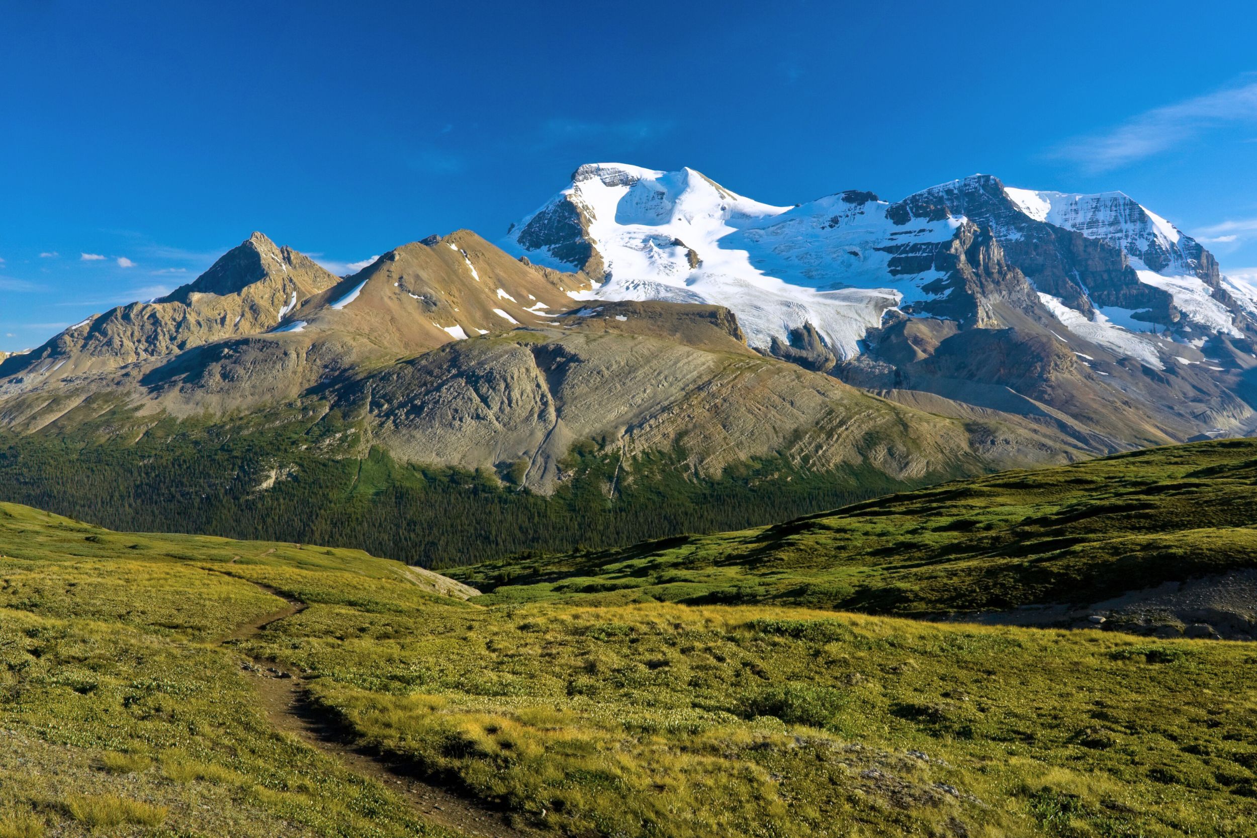
Wilcox Pass offers mesmerizing views of the Columbia Icefield and is among the best hikes on the Icefields Parkway. It’s not far from another favorite hike of ours, Parker Ridge, but Wilcox offers more of a challenge and grander views. The hike gains a pass across from Mount Athabasca and Andromeda, two of the tallest mountains in the Canadian Rockies, and provides amazing views.
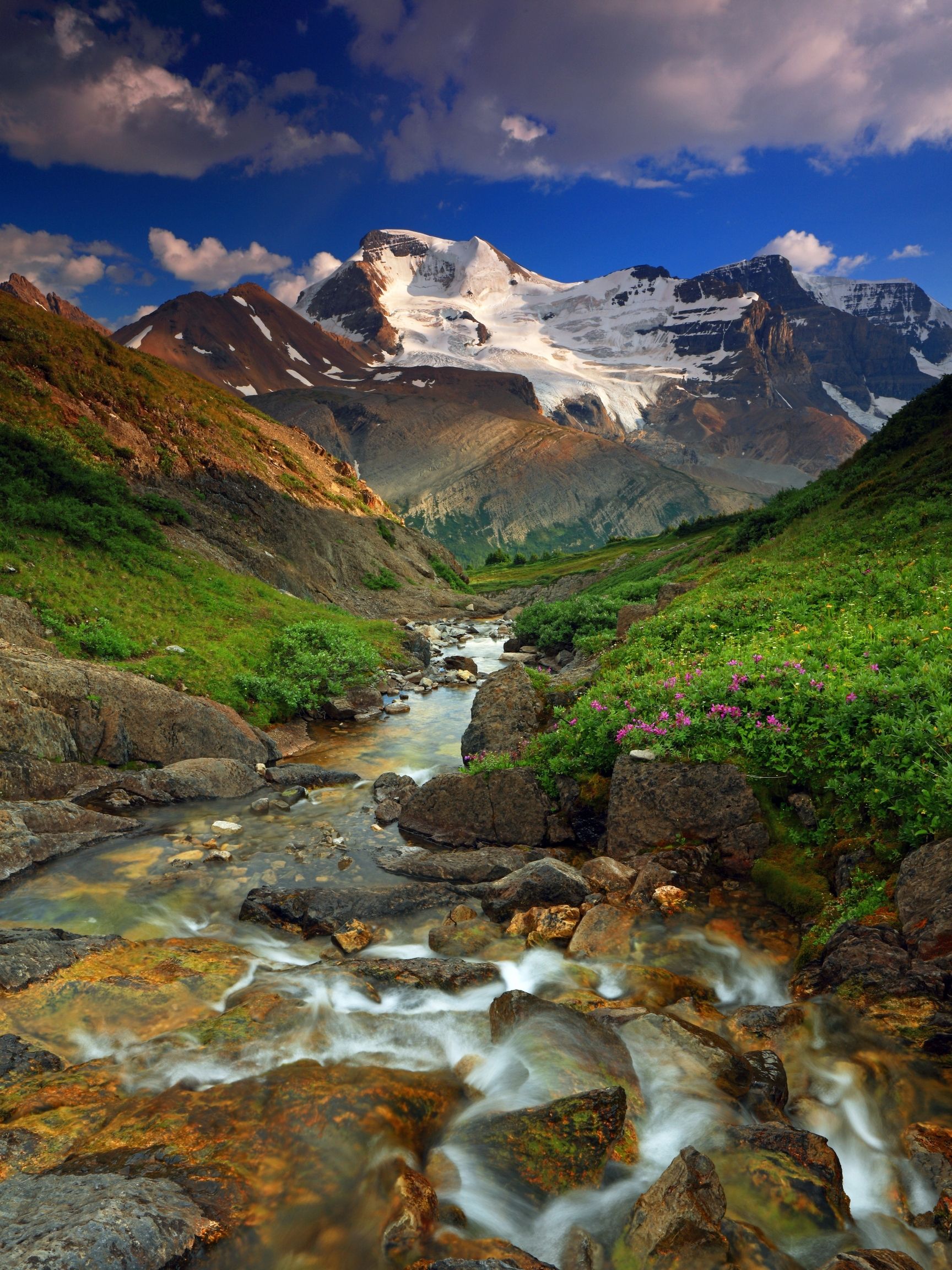
Hikers can also expect a nice smattering of wildflowers or the chance to spot mountain goats and bighorn sheep. Since it sits on the border between Banff National Park and Jasper National Park, it is best to stay in Lake Louise, along the parkway, or drive between Jasper and Banff.
Plain of Six Glaciers
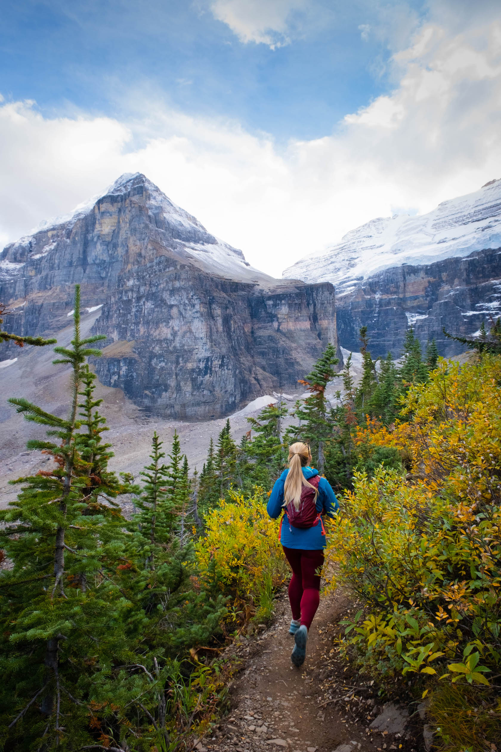
- Length: 13.8 km
- Duration: 3 – 5 hours
- Elevation Gain: 587 meters
- Difficulty: Easy/Moderate
- Best Time To Go: June – October
- Parking: Lake Louise Day Parking Lot
The Plain Of Six Glaciers is an incredible hike that starts with a walk along Lake Louise and finishes in an open plain of glaciers. To sweeten the deal, the historic Plain of Six Glaciers teahouse is there to reward hikers with a cup of tea or a fresh-baked goodie. It’s a stunner of a hike with a whole bunch of rewards for the amount of effort involved.
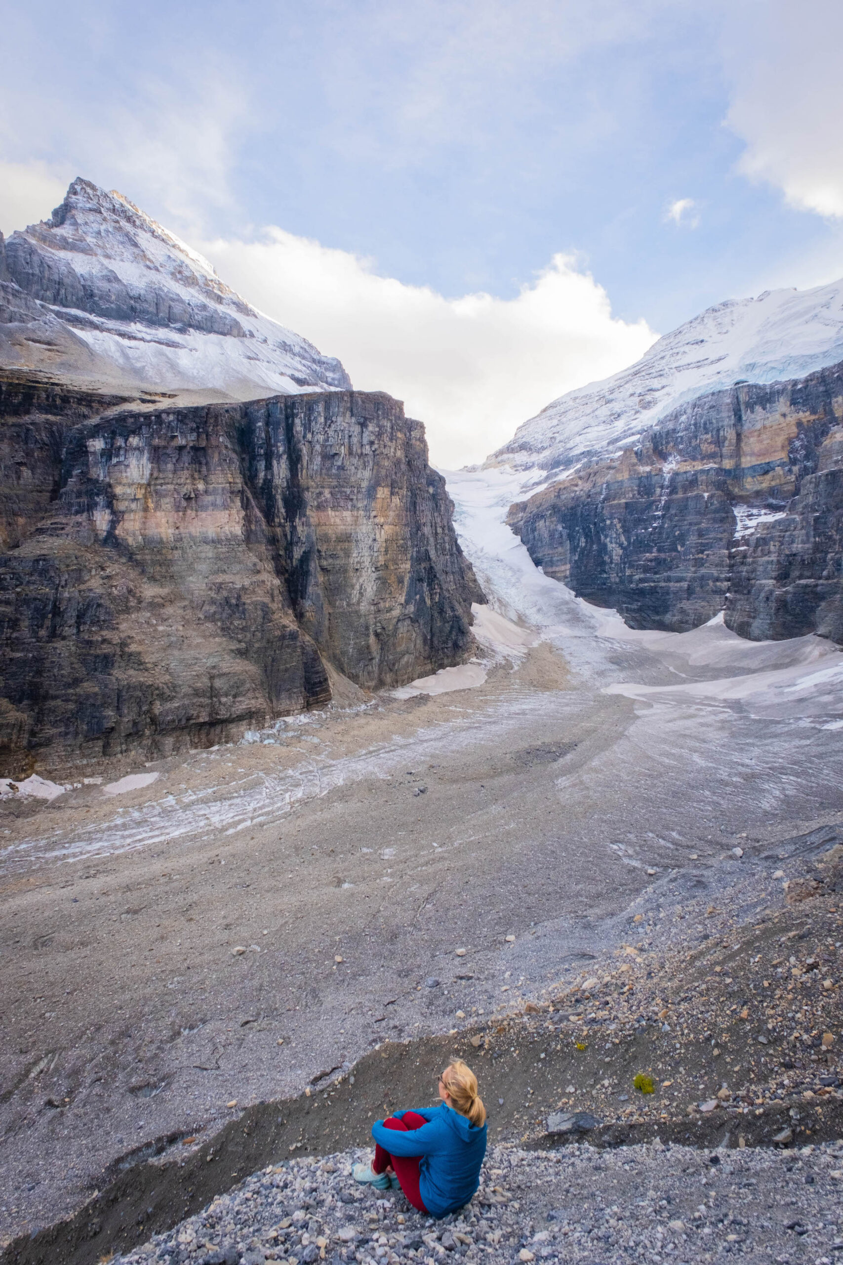
At one point, this massive valley was the convergence of six glaciers that have all since retreated due to warming temperatures. All that is left now is the monstrous debris field, which will leave hikers in awe of its earth-shaping capability. It’s also possible to combine this hike with the Lake Agnes / Big Beehive hike for an incredible day in the mountains.
Bow Glacier Falls
- Length: 8.7 km
- Duration: 2 – 3 hours
- Elevation Gain: 266 meters
- Difficulty: Easy/Moderate
- Best Time To Go: July – September
- Parking: Num-Ti-Jah Lodge (The Lodge)
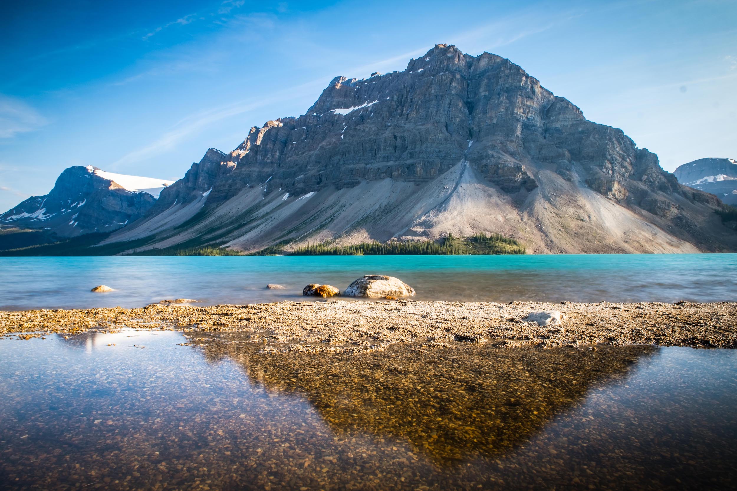
Hike to Bow Glacier Falls for some outstanding views and a gorgeous waterfall. It’s a pretty relaxed hike that spends the majority of time along the shoreline of Bow Lake. The views from hiking around Bow Lake are spectacular. However, once you climb the stairs and see Bow Glacier Falls, hikers witness the birth of the Bow River from the Wapta Icefield high above.
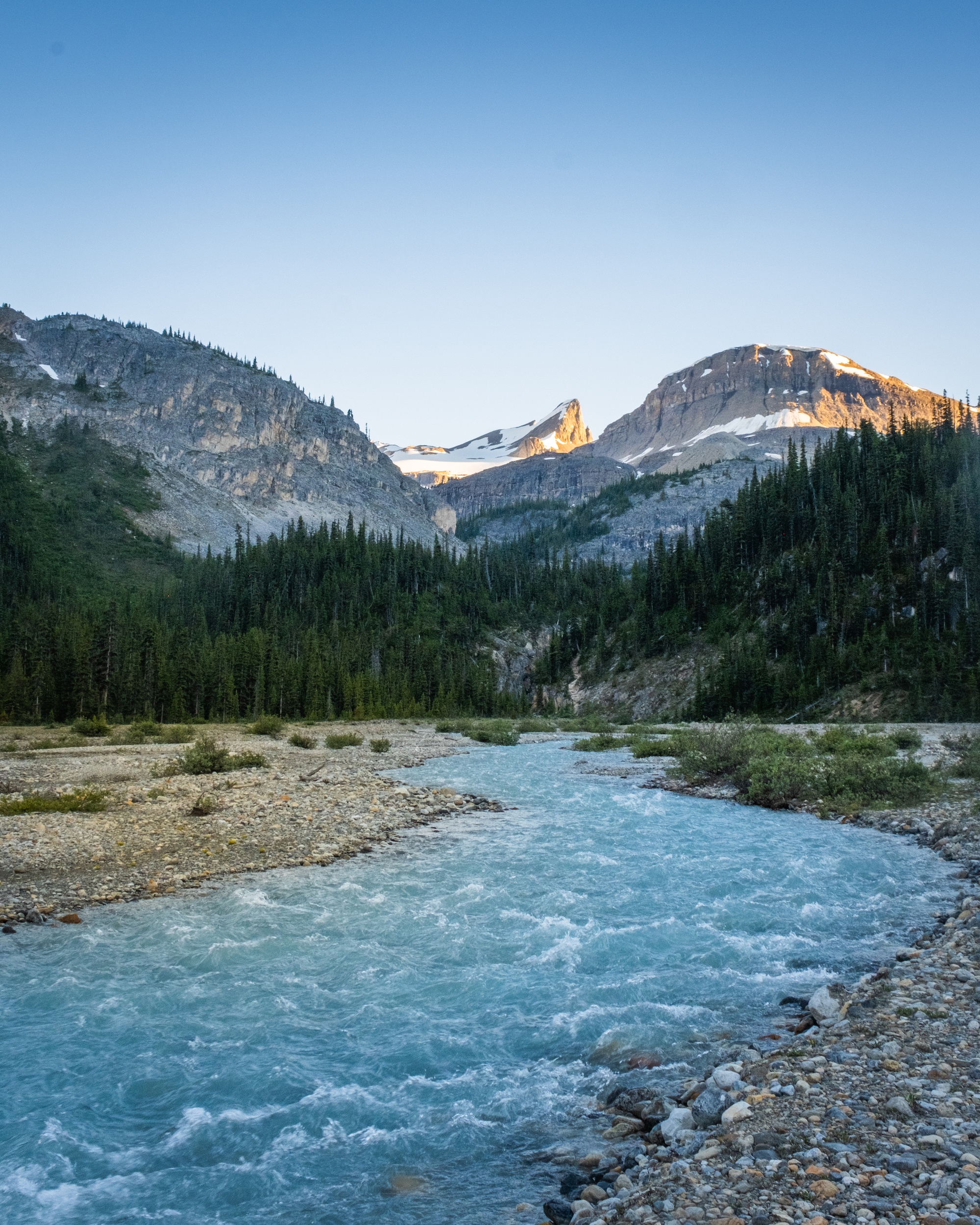
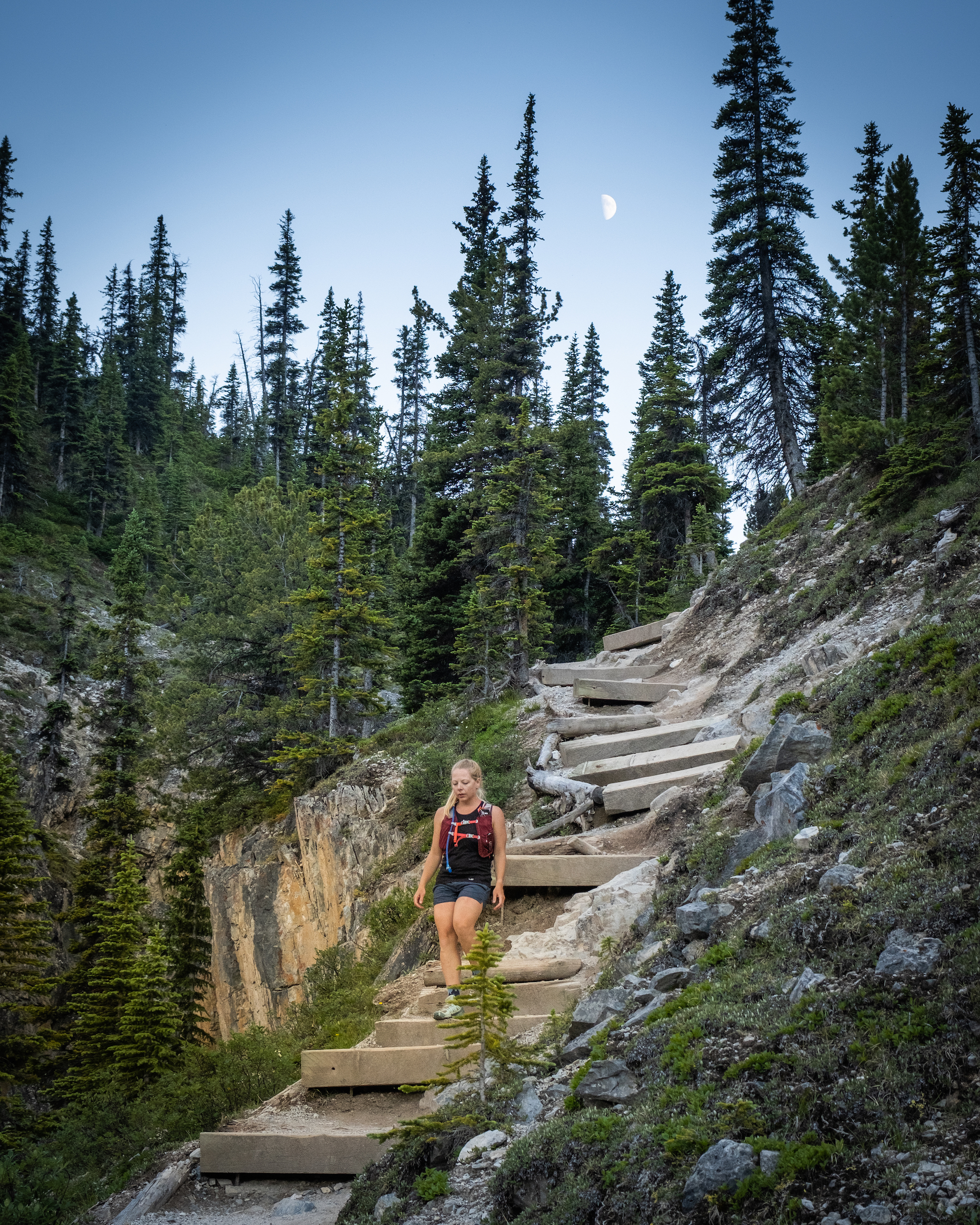
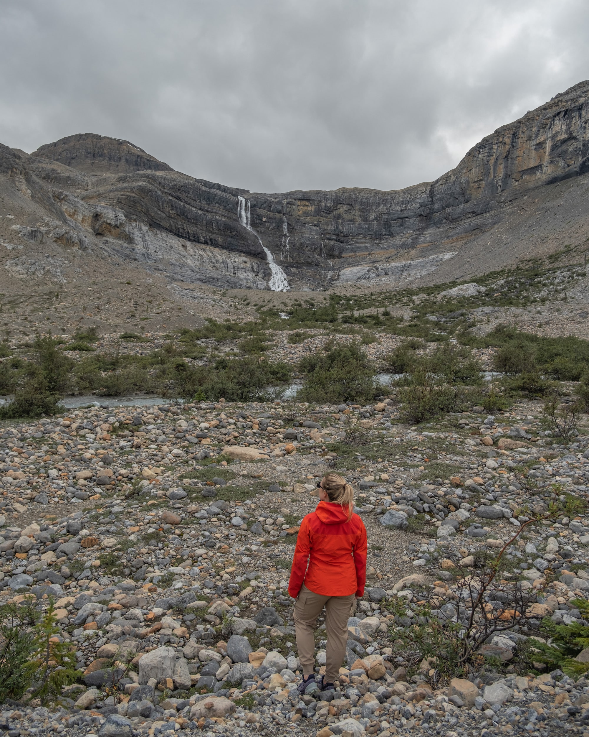
We’d rate the trail as an easy to moderate hike. It has a decent trail, and the only steep section is aided by stairs. Altogether, it’s a great hike along the Icefields Parkway, as it can easily be done as a day trip from Banff or Lake Louise. We also love the area around the Wapta Icefield, as you can visit nearby lakes such as Peyto and Waterfowl.
Johnston Canyon / Ink Pots
- Length: 5 km to 11.7 km
- Duration: 2 -5 hours
- Elevation Gain: 262 to 608 meters
- Difficulty: Easy
- Best Time To Go: Year-Round
- Parking: Jonhston Canyon Parking Lot
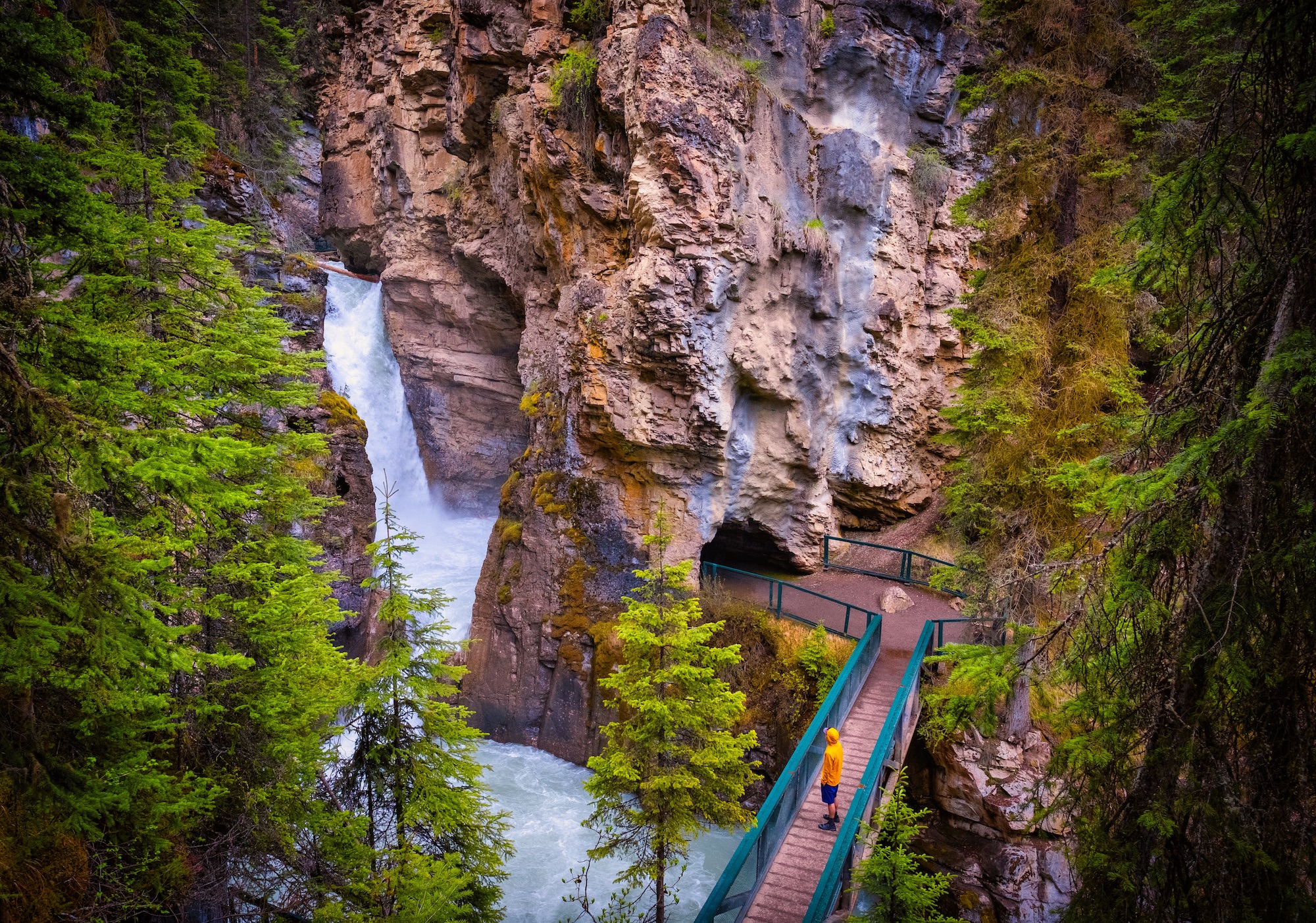
Johnston Canyon can be hiked all year and is one of the most popular hikes in the entire park. Although it’s a year-round hike, we love Johnston Canyon in the winter. It’s truly magical and has fewer tourists than in the summer. It’s a gorgeous hike through a narrow canyon no matter the season. The waterfalls along the hike are either frozen or roaring, given the season, and every bit as impressive.
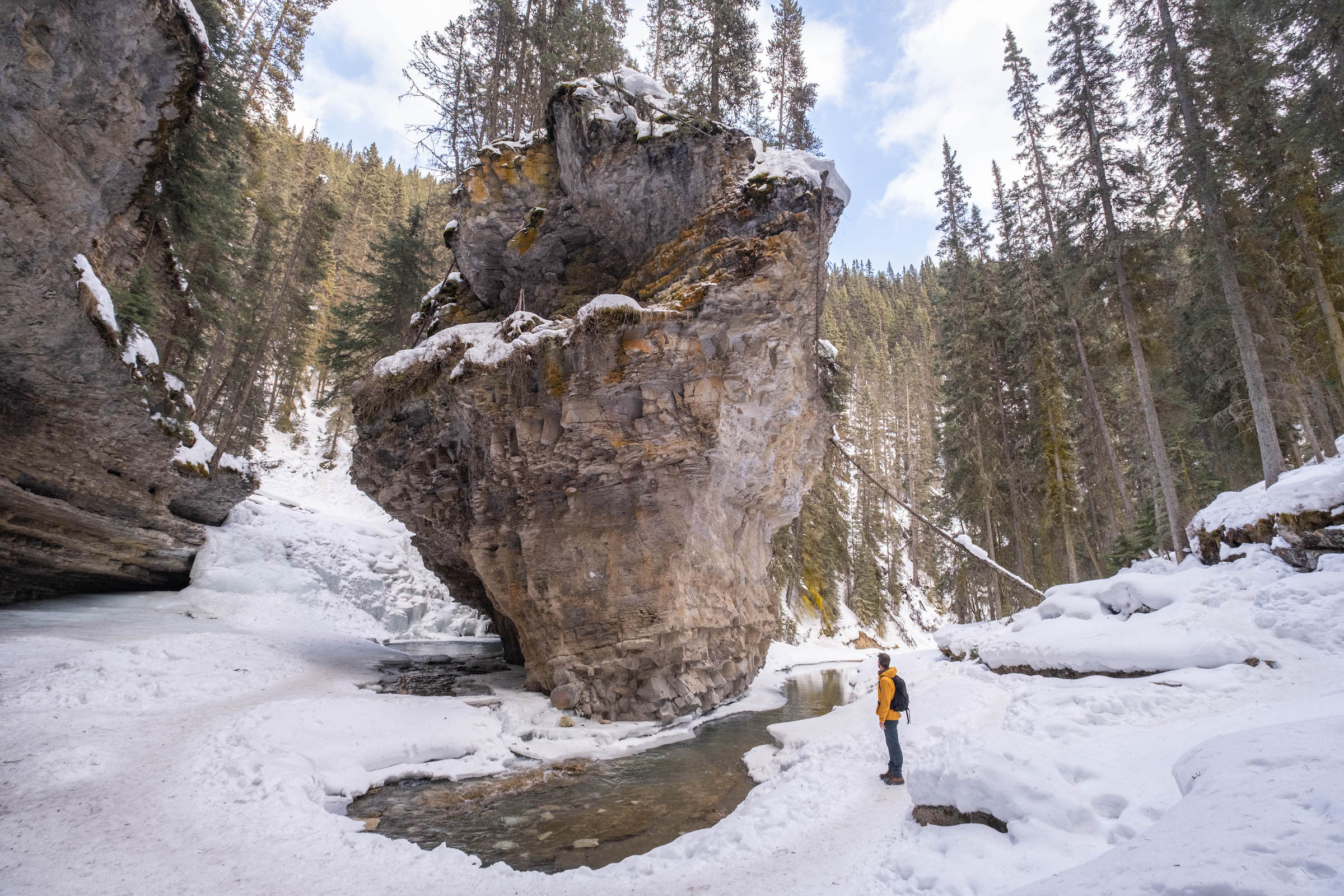
We love to recommend the hike to visitors, as it’s a nice trail with extensive walkways that make it one of the most accessible and unique hikes in Banff. It does come with a big downside in the form of summer crowds that make for limited parking. Winter sees fewer crowds, but the trail is prone to icy conditions, so we suggest picking up some ice cleats. They’re a great investment for locals hiking kit, but visitors can easily rent them in Banff or Lake Louise.
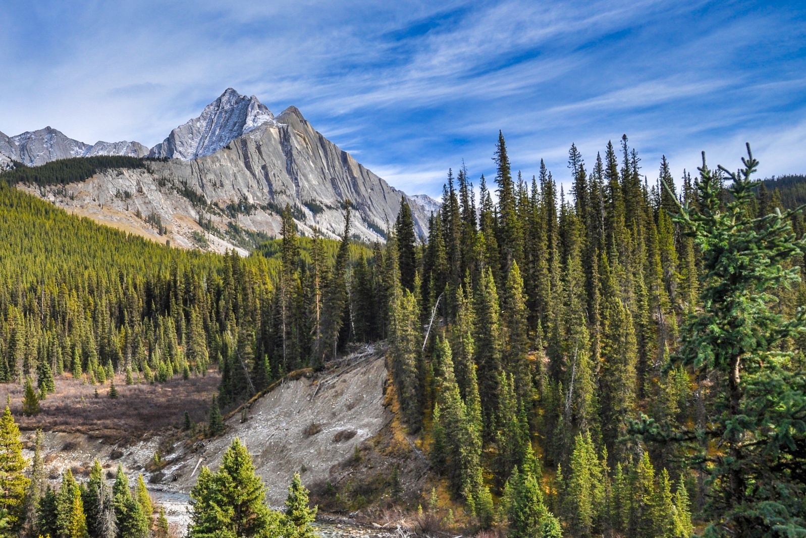
If you want to make more of a day out of the hike, continue on to the Ink Pots. They’re a lovely series of natural springs in alpine meadows that make for an idealistic picnic location. It takes the easy Johnston Canyon hike to a pleasant moderate hike suitable for families.
Consolation Lakes Trail
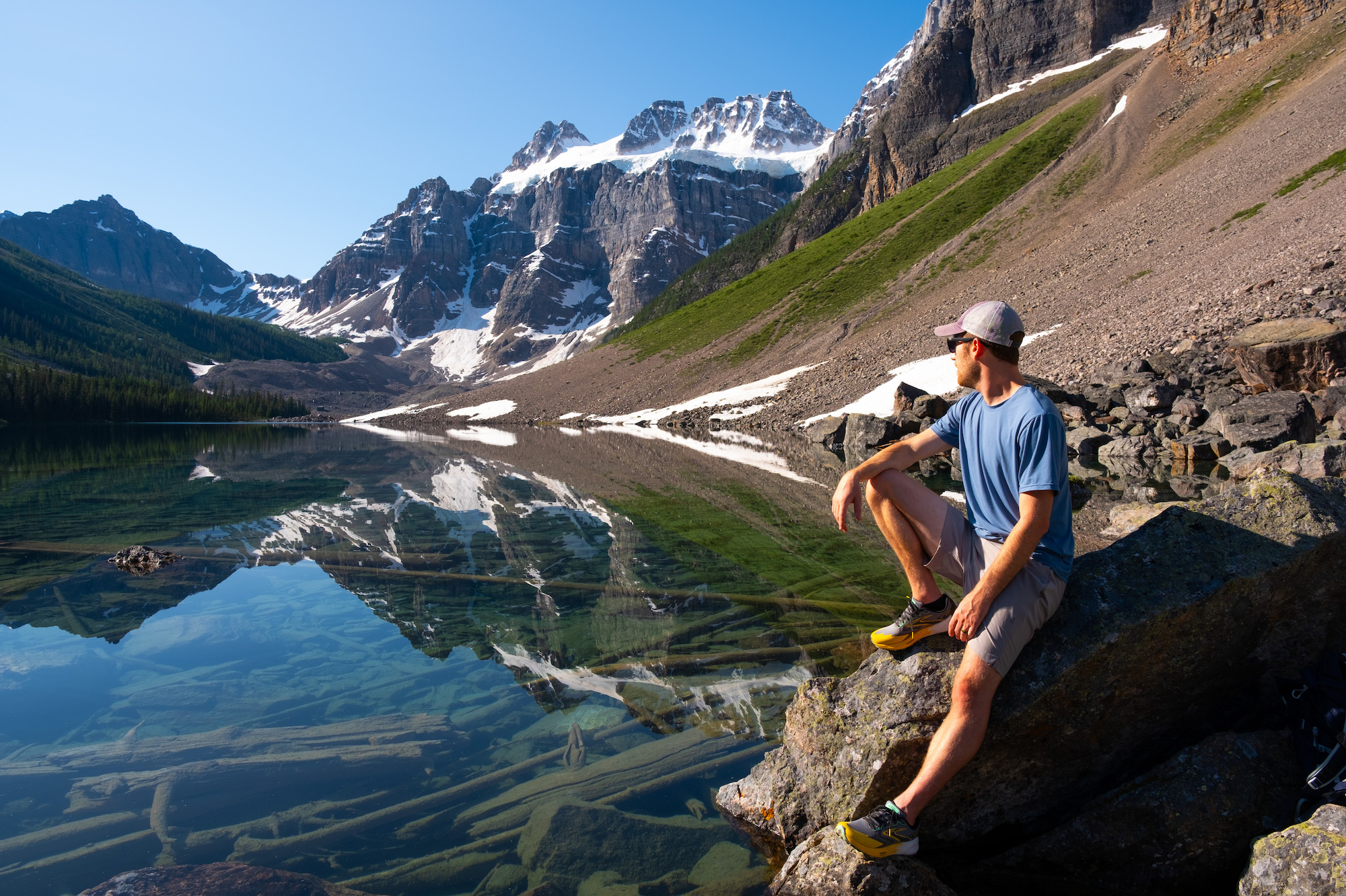
- Length: 6.5 km
- Duration: 1.5 – 3 hours
- Elevation Gain: 150 meters
- Difficulty: Easy
- Best Time To Go: Late May – October
- Parking: Moraine Lake Parking Lot
This is a family favorite near Moraine Lake that can be paired with the Rockpile. It’s pretty easy with a little elevation gain. The hike is a nice step up from the Moraine Lakeshore Trail, as the terrain is more difficult with greater elevation gain and a short section that crosses over a boulder field. A fraction of the visitors to Moraine Lake visit Consolation Lakes, giving hikers a chance to escape the crowds.
Along the hike, you get views of the scree slopes from the Tower of Babel. The hike passes through the old-growth forest before arriving at an alpine field and wetlands with the Consolation Lakes at its end. You get tremendous views of the backside of the Ten Peaks, Mount Babel, and Mount Fay, topped by glaciers from the lakes.
Rockbound Lake
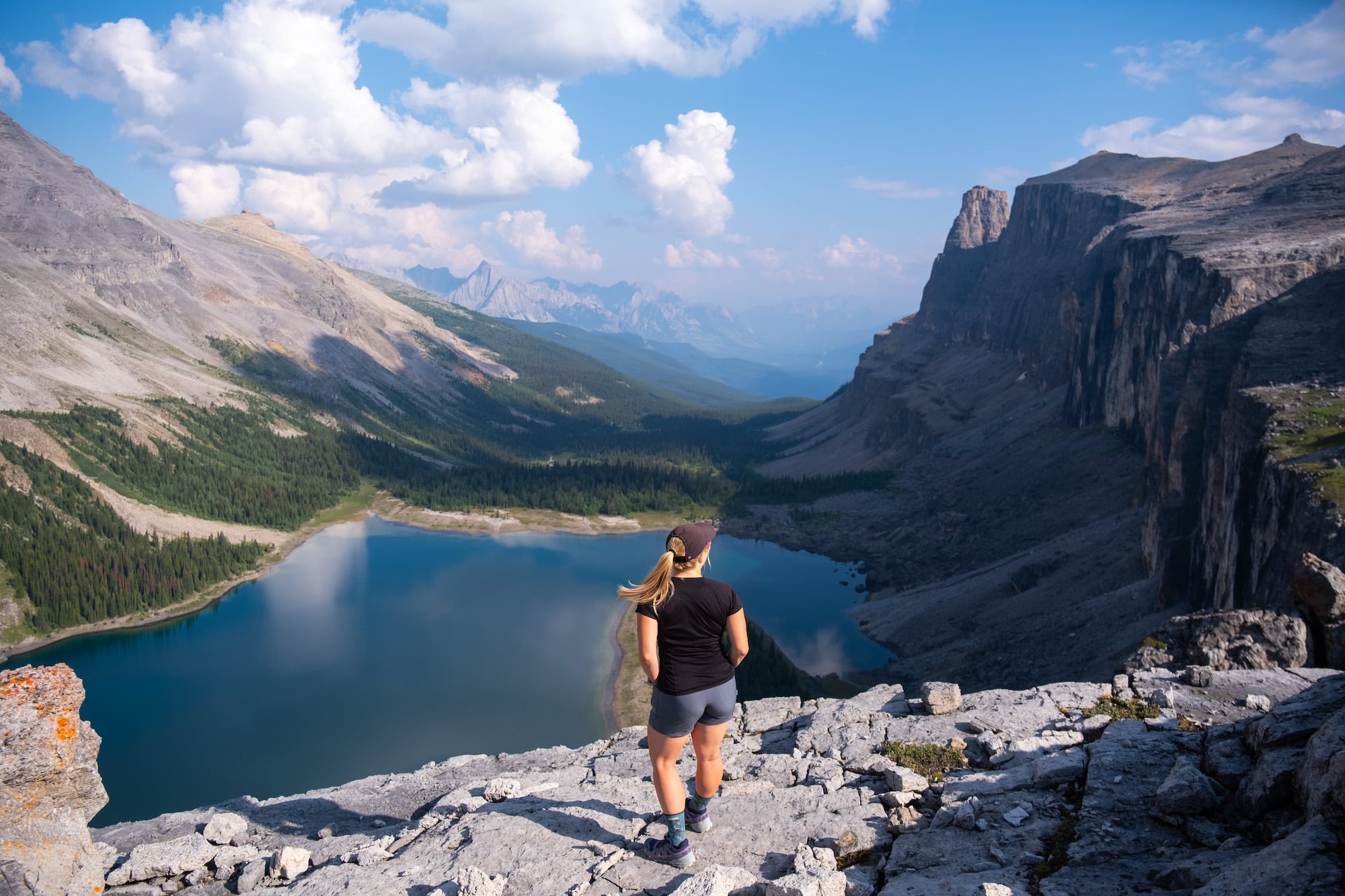
- Length: 16.8 km
- Duration: 4 – 7 hours
- Elevation Gain: 760 meters
- Difficulty: Moderate-Difficult
- Best Time To Go: June – October
- Parking: Castle Junction
Rockbound Lake is one of our favorite hikes in Banff because if you climb up past the lake, you can easily find peace and quiet. The views continue to open up and provide jaw-dropping views of the Bow Valley. The trail spends a lot of time in the forest, but once you ascend steep switchbacks, you arrive at Tower Lake, and the views open up.
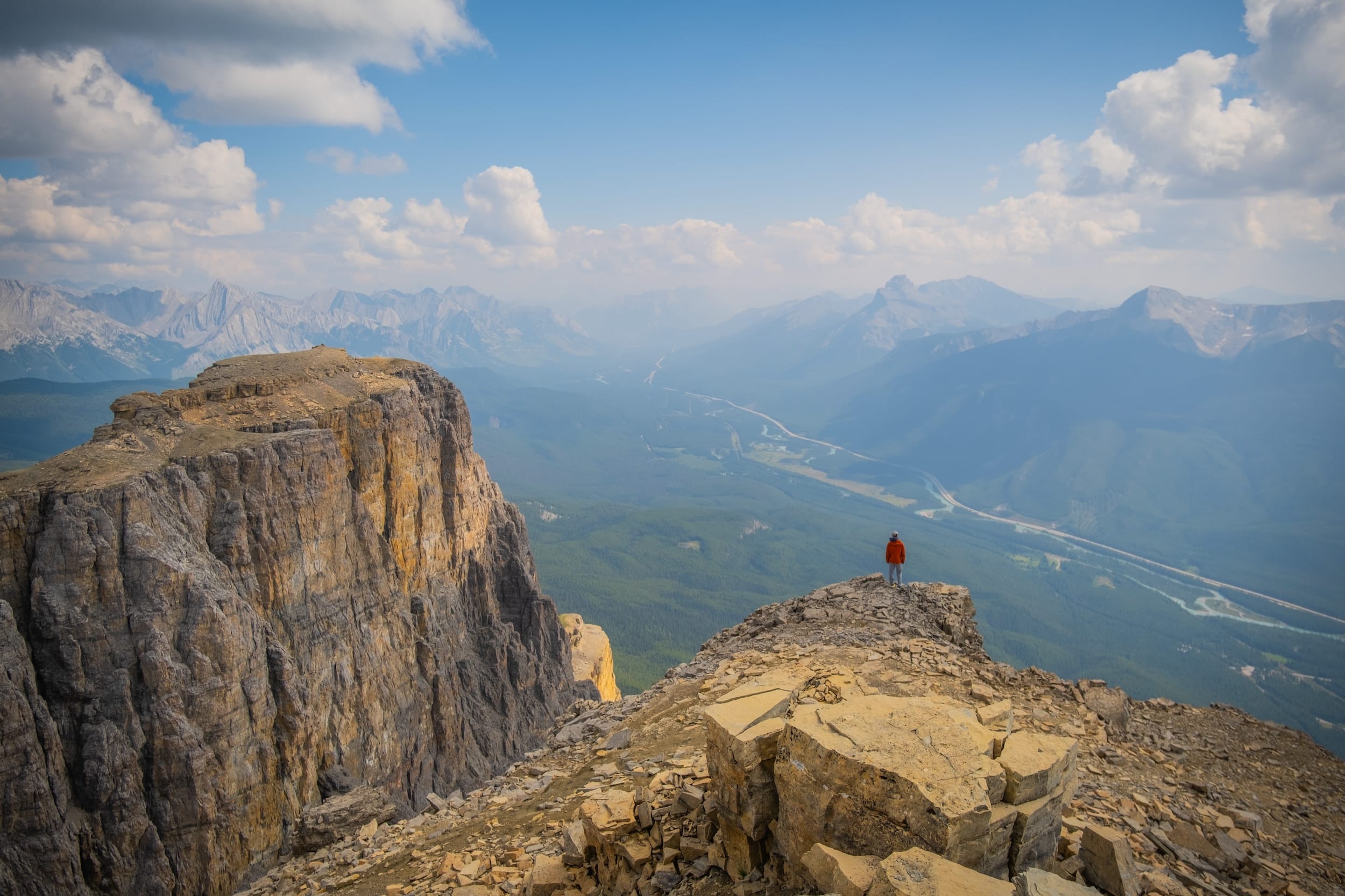
Further past another series of switchbacks, you arrive at Rockbound Lake, flanked by steep cliffs, and look out to extraordinary views. For a truly epic day, you can summit Castle Mountain by continuing past the lake or Helena Peak. It’s a demanding day at 27km and 1,540 meters of elevation gain. It is an easy scramble and one of my favorite day trips in the Rockies.
Moraine Lakeshore/ Rockpile
- Length: 2.9kms
- Duration: 1 hour
- Elevation Gain: 162 metes
- Difficulty: Easy
- Best Time To Go: May – October (Road closure in winter season)
- Parking: Moraine Lake
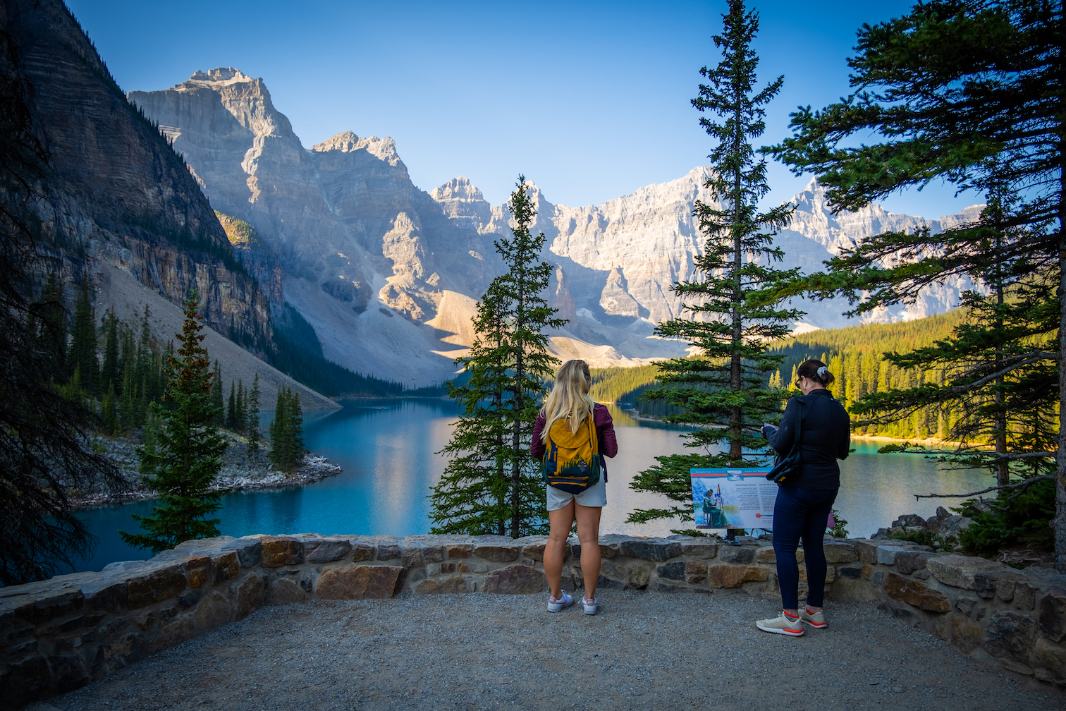
The Rockpile Trail at Moraine Lake brings you to the aptly named “Twenty Dollar View” because it is the scene used on the former Canadian twenty-dollar bill and shot by almost every photographer. We like to consider it one of the best views in the world. Moraine Lake’s deep blue is backed by the famed Ten Peaks, ten towering snow-capped peaks. However, the Rockpile and the lakeshore trail aren’t much of a hike.
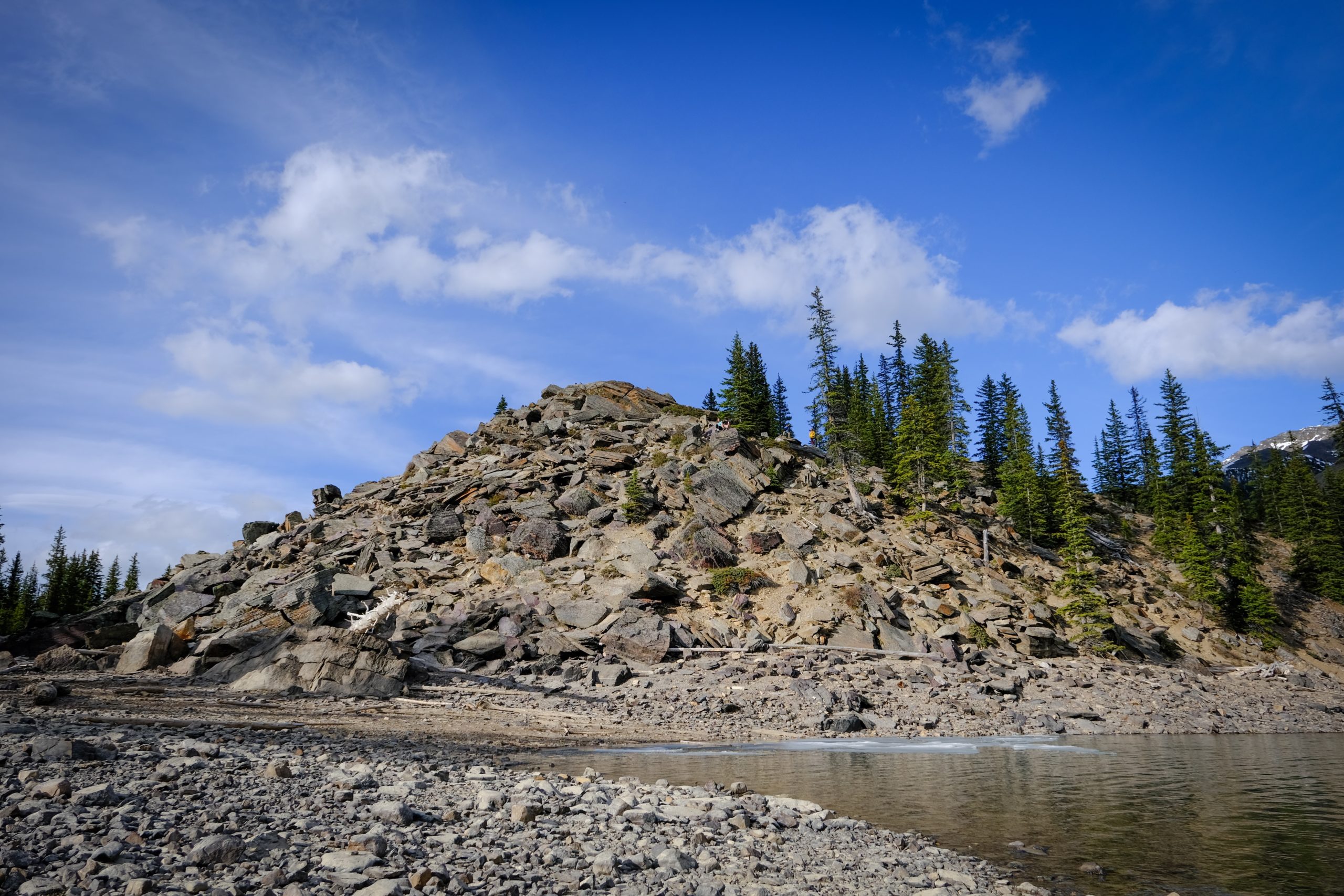
It’s a short walk up to the top of the Rockpile, a natural dam. The trail switchbacks along the backside of the rocky moraine and takes just five to ten minutes to reach the top and have an amazing few. Several stone and log steps make it accessible to most able-bodied people. Watch for pikas and chipmunks frequently darting in and out of the rocks.
While the Lakeshore Trail begins from the canoe docks, it’s a flat Banff walking trail that works its way along the lake’s shoreline and back. It’s a wonderful trail that moves in and out of the forest with great lake views and mountains and is best for anyone not looking to gain elevation on their walk.
You’ll be shocked at how few visitors to Moraine Lake go a little further and hike along one of the easiest Banff trails in the area, meaning you will find a little solitude at points on this trail. At the end of the hike is a boardwalk near the waters flowing down from Wenkchemna Pass.
C Level Cirque
- Length: 9.2 km
- Duration: 2 – 4 hours
- Elevation Gain: 755 meters
- Difficulty: Moderate
- Best Time To Go: May – October
- Parking: Upper Bankhead Parking Lot
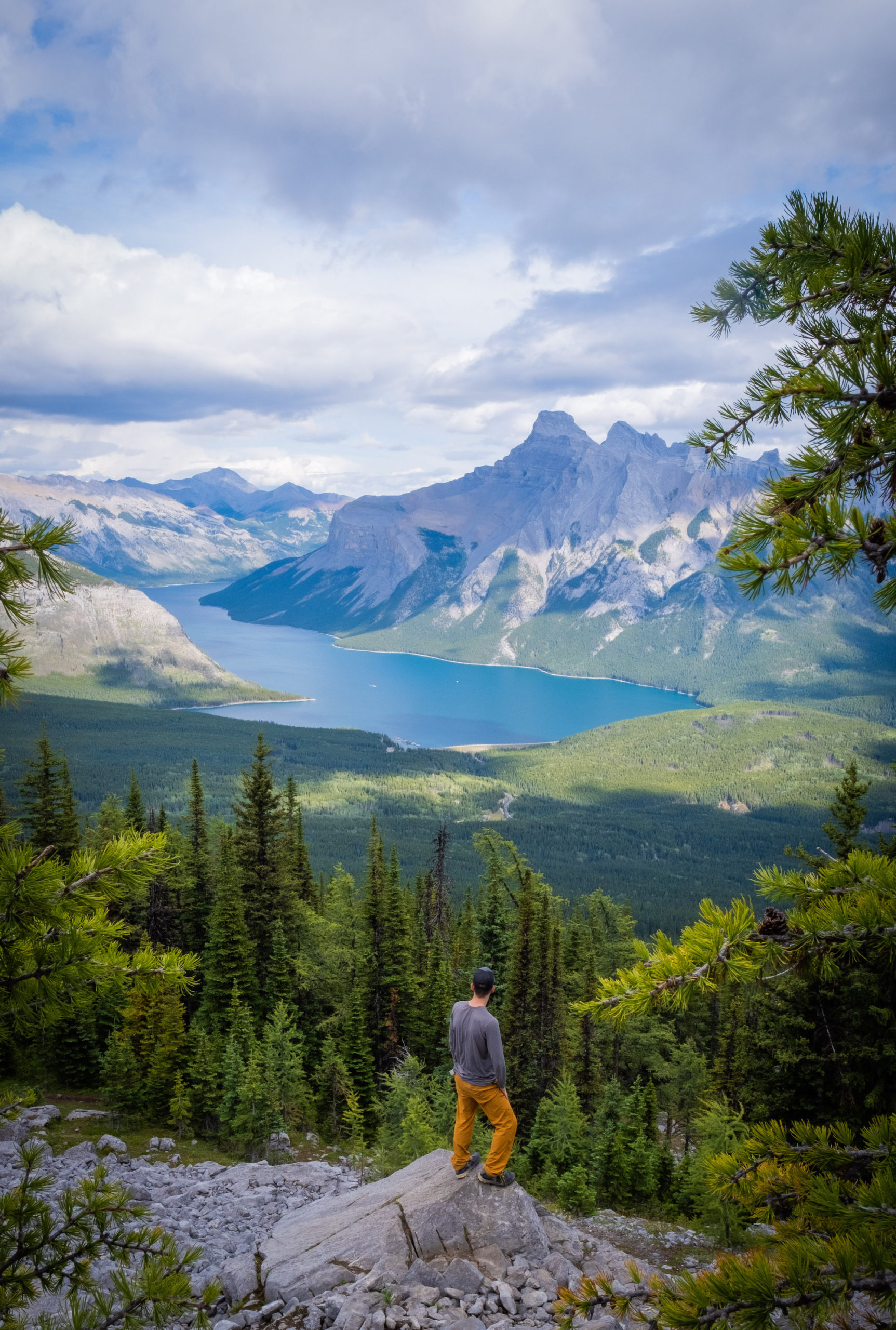
C Level Cirque is a short but rewarding hike near Lake Minnewanka. It starts from the Upper Bankhead Parking Lot. The steady incline to the amphitheater should only take 45 minutes to one hour. You can stop here, but the views over Lake Minnewanka start when you climb higher. Follow the trail around the amphitheater and up for about 45 more minutes until you reach the rock cirque wall.
Turn around, and you’ll find the most stunning view of Lake Minnewanka. We love to do this hike when we’re short on time, as it can be done in under three hours and is close to town. It’s the perfect way to end a workday in the summer. It’s also great for families and older visitors to Banff as it’s not too long but still provides something to do and has stellar views. This 9 km out-and-back trail can get very busy on weekends in the summer, so you can try to visit on a weekday.
Bow Falls Trail/Bow River Trail
- Length: 3.7 km
- Duration: 1 – 2 hours
- Elevation Gain: 78 meters
- Difficulty: Easy
- Best Time To Go: July – September
- Parking: Banff Town
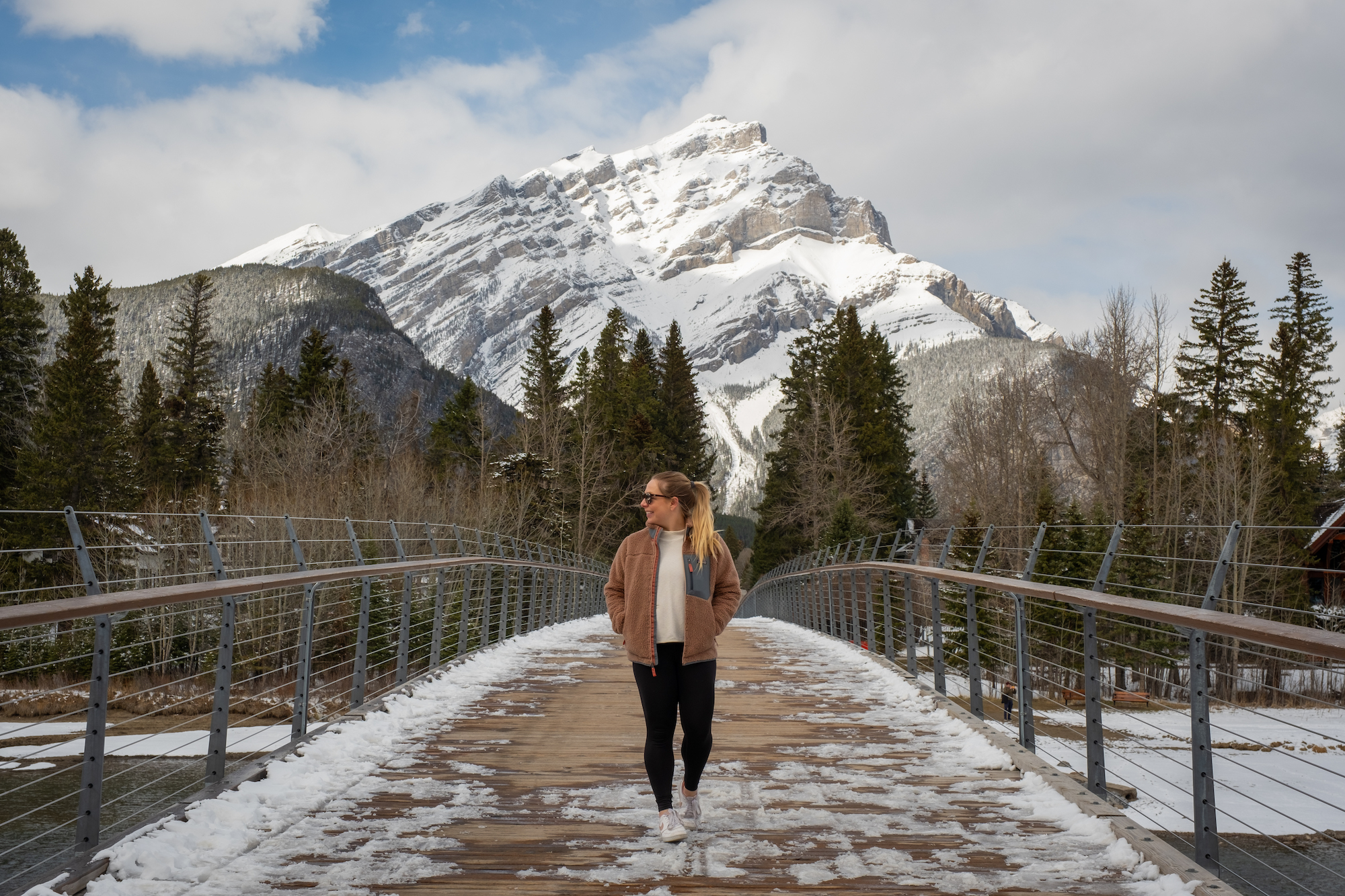
This classic Banff trail within the town highlights the pristine wilderness and natural beauty surrounding Banff’s town. The Bow River Trail is mainly paved and follows the Bow River. It’s the perfect to do in the morning with coffee, after dinner, or if it’s raining in the park. It’s great for beginners or those with mobility issues — you could even push a stroller or wheelchair along the paved paths.
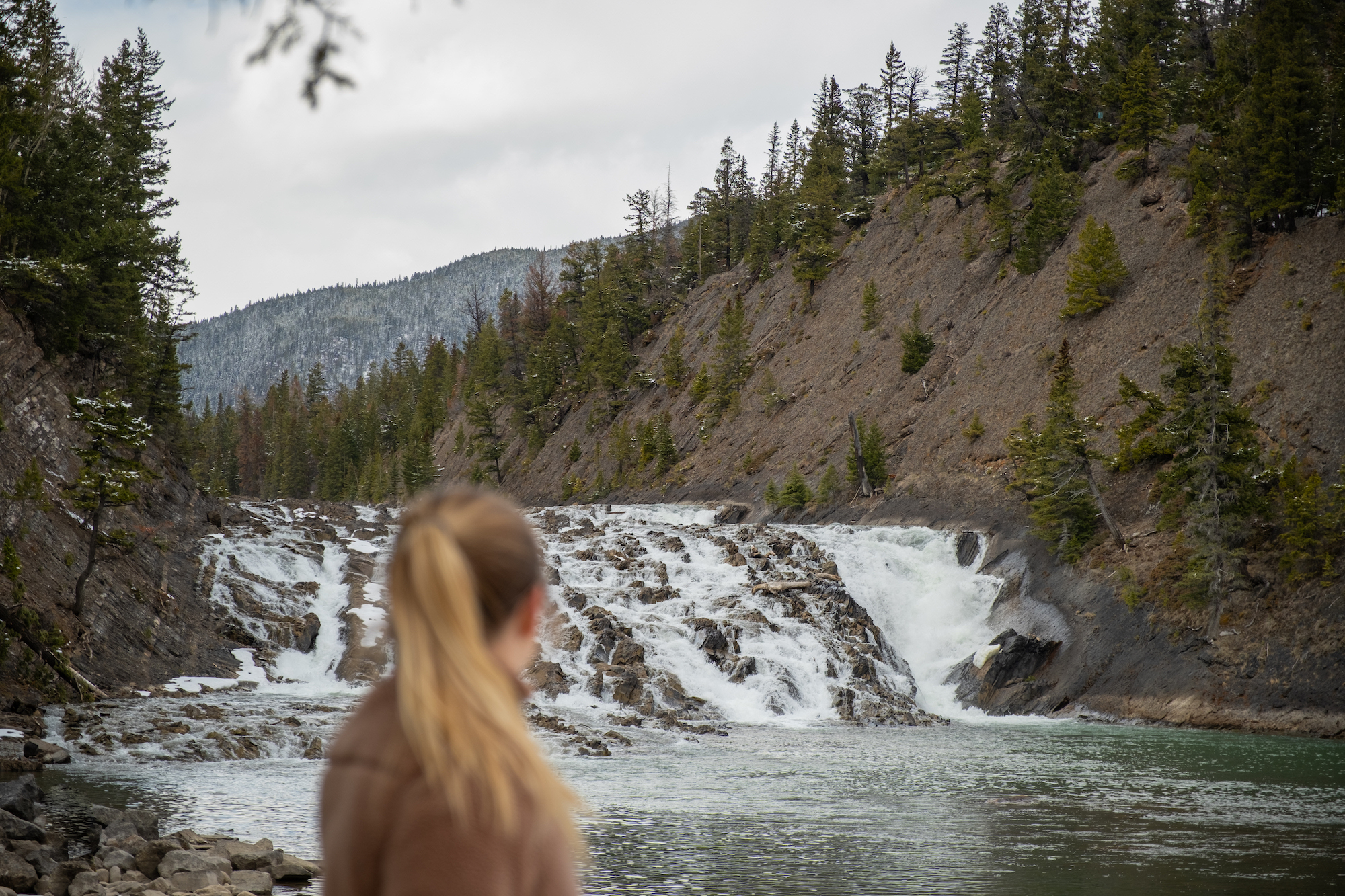
It starts from Central Park and goes to the Surprise Corner Viewpoint. There’s also the Bow Falls Trail nearby that loops through the Cascade of Time Gardens, then it follows the river to Bow Falls before ending at the Banff Springs Hotel — at least that’s our version!
But there are many trails you can take depending on how long you want to walk. The Bow River is gorgeous and a good walk any time of the year. The river is also a prime habitat for elk when they birth their young in the early summer as they like to hang around town — less snow and more grass.
Chephren Lake
- Length: 7.7 km
- Duration: 1-3 hours
- Elevation Gain: 80 meters
- Difficulty: Easy
- Best Time To Go: July – October
- Parking: Waterfowl Lakes Campground
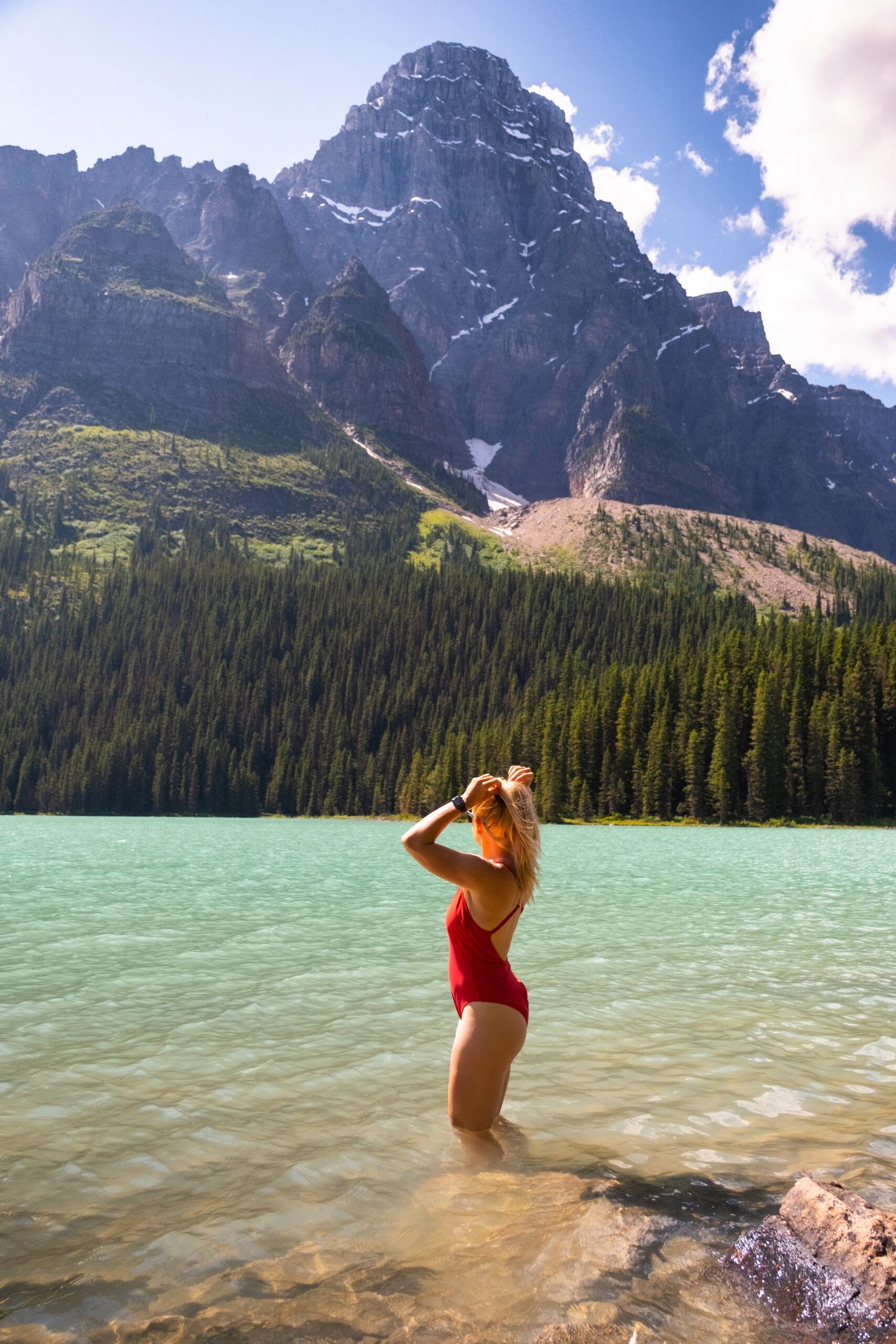
Chephren Lake is one of the best easy hikes in Banff that not many people tackle or know about. It is one of the most beautiful lakes in Banff and sits above the Waterfowl Lakes along the Icefields Parkway, offering some stunning views of the surrounding glaciated peaks. The lakes here are that famous glacier blue without the crowds of Peyto, Louise, or Moraine Lake.
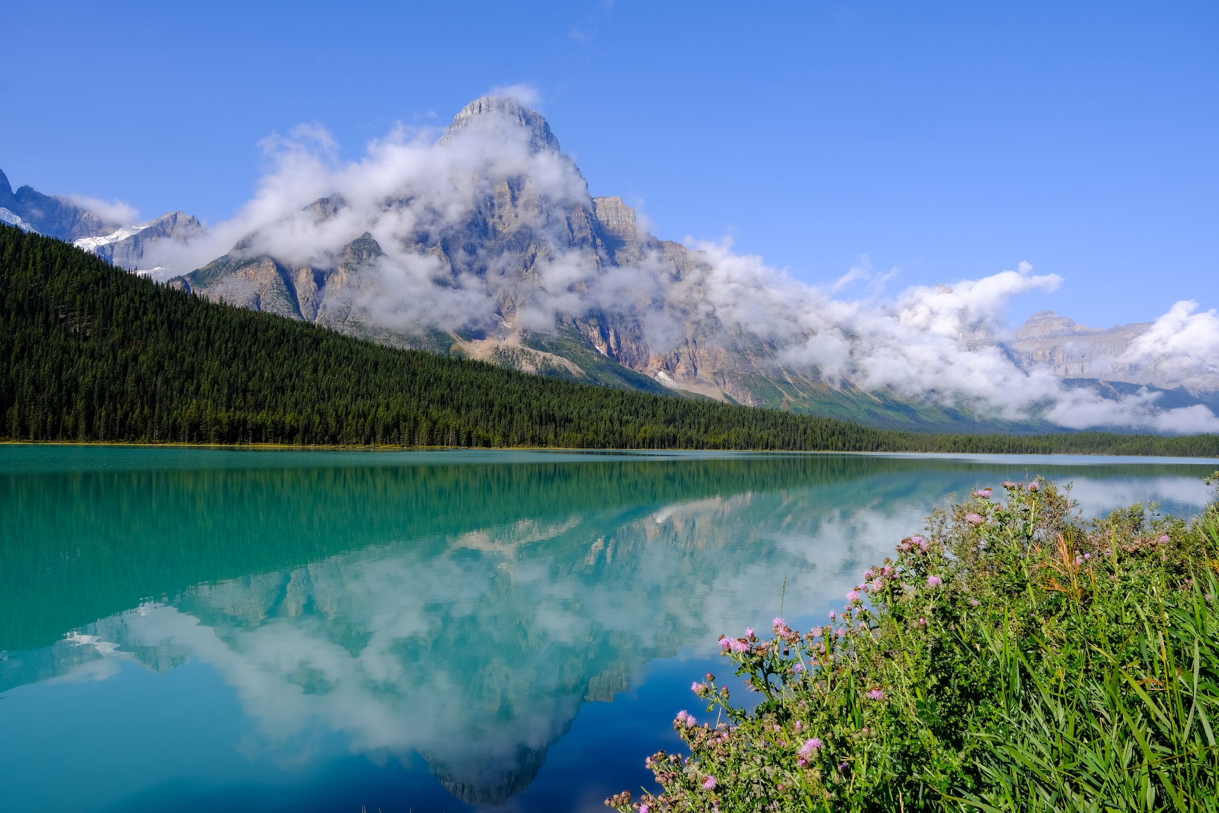
The trail weaves through the woods and ascends a couple hundred meters before opening up to the stunning glacier lake under Mount Chephren. It’s an easy and mellow objective the whole family can do, but bring good shoes; the trail can be extremely muddy!
Lake Minnewanka Lakeside
- Length: 3+ km
- Duration: 1 – 4 hours
- Elevation Gain: Varies
- Difficulty: Easy
- Best Time To Go: July – September
- Parking: Lake Minnewanka
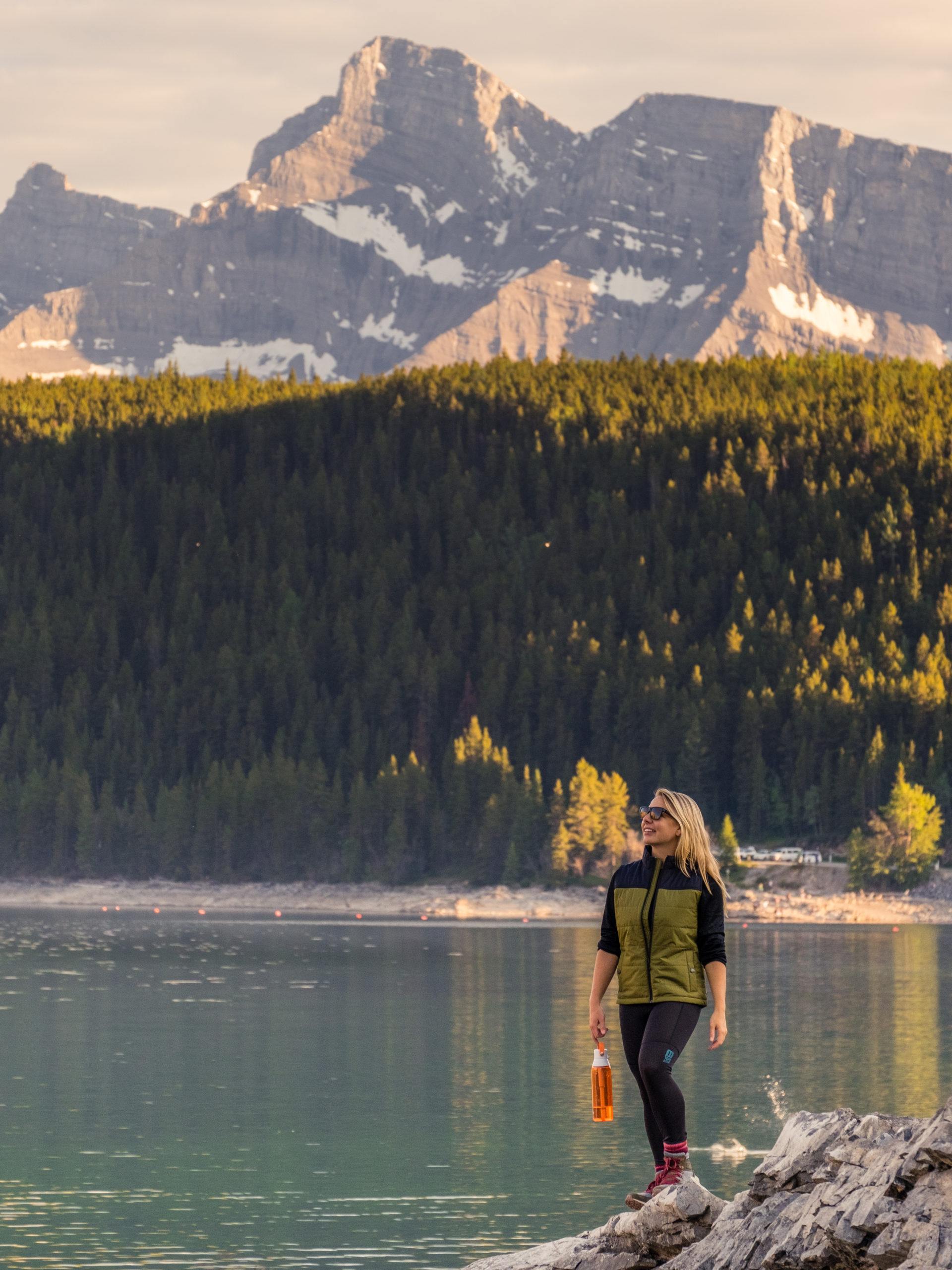
Take a hike along one of Banff’s largest lakes. It’s one of our favorite places to spend some time. This hike is great for at least three seasons as it stays low in elevation along the lakeside of Lake Minnewanka.
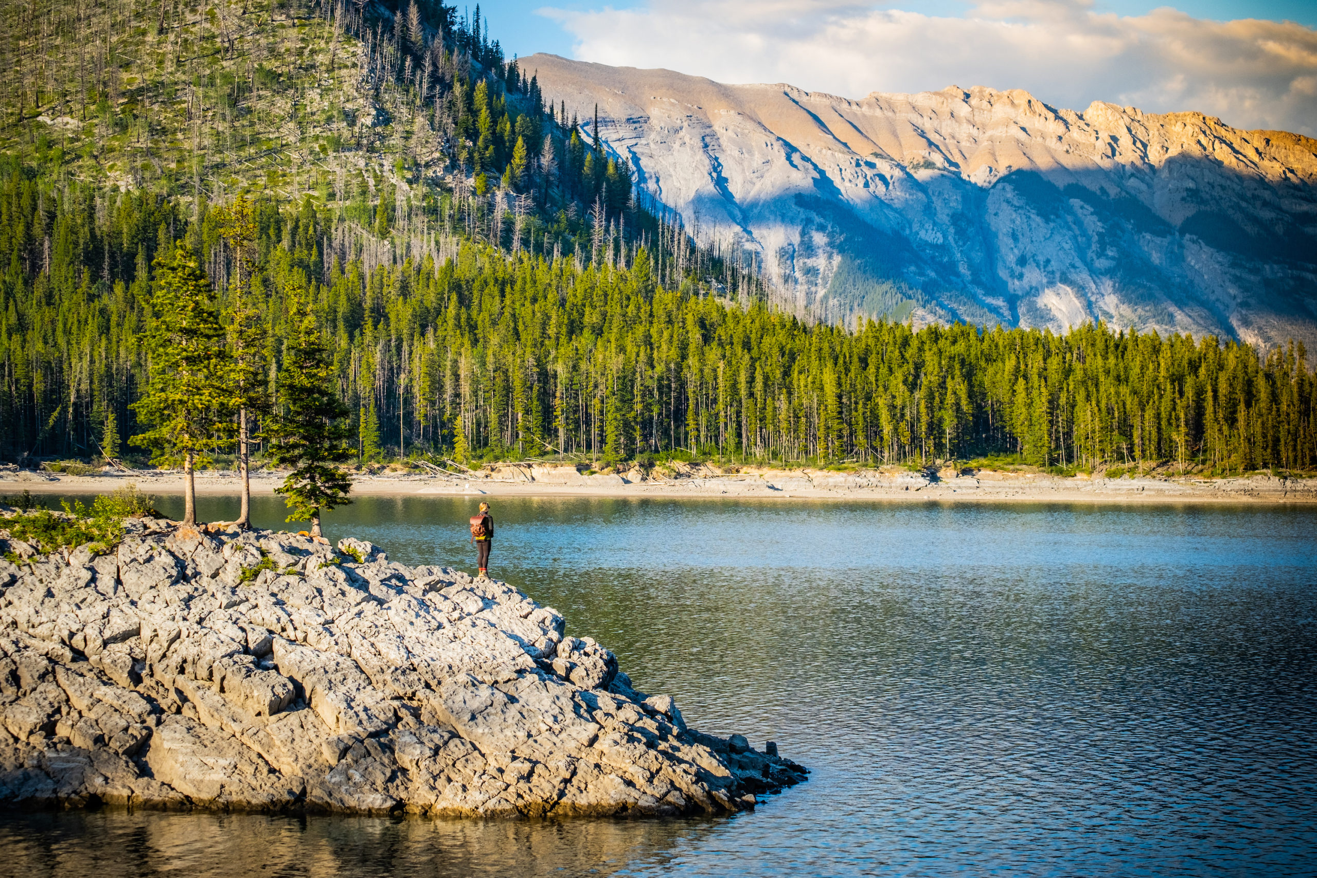
The great part about this trail is that it can be as challenging or as easy as you’d like since it follows along the lake. Naturally, the further along the lake you hike, the quieter it becomes. We recommend people hike to the bridge over Stewart Canyon as it provides excellent views over the pristine valley.
Sulphur Mountain
- Length: 10.1 km
- Duration: 2 – 4 hours
- Elevation Gain: 744 meters
- Difficulty: Easy/Moderate
- Best Time To Go: Year Round
- Parking: Banff Gondola / Hot Springs
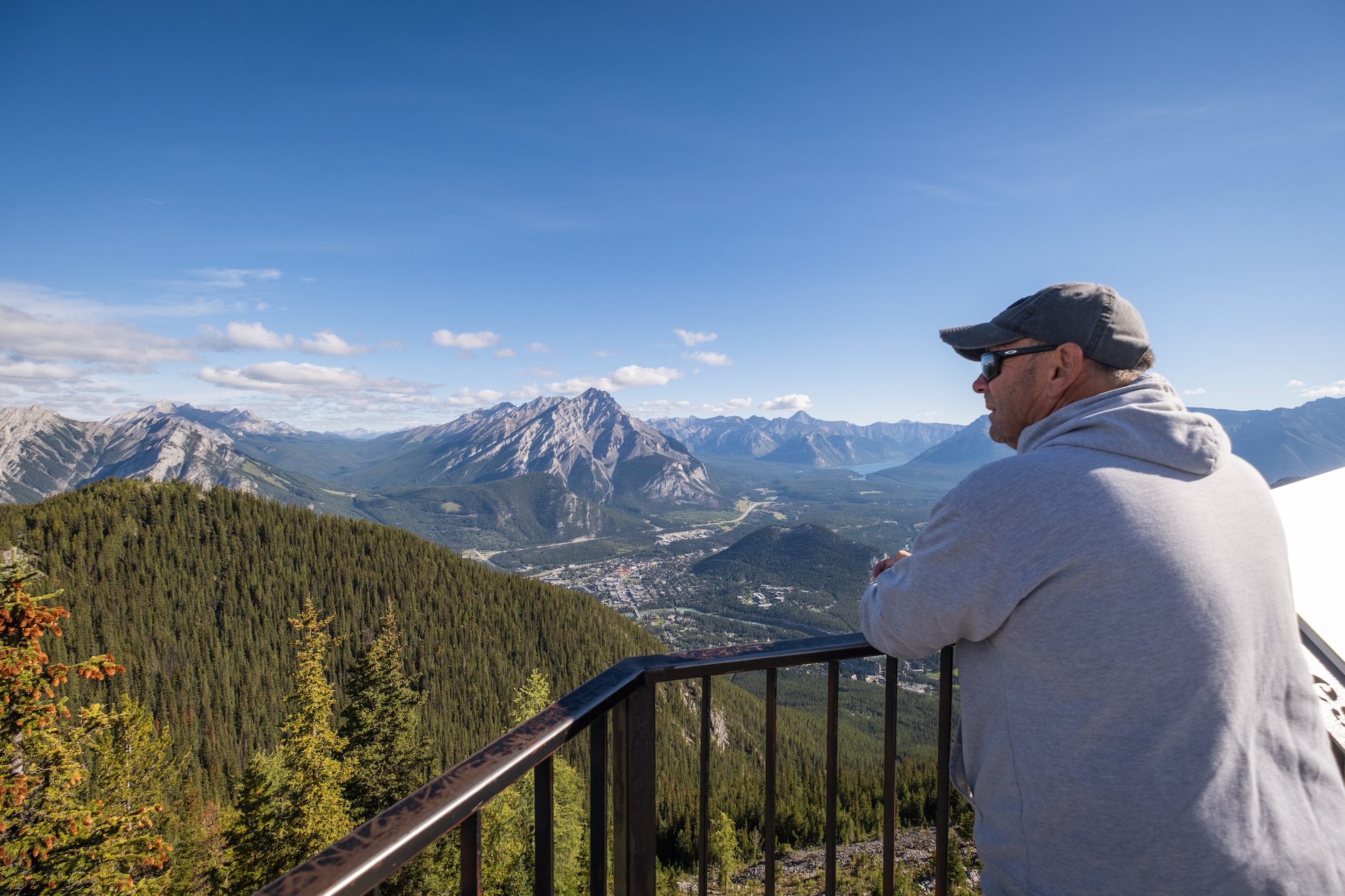
Sulphur Mountain is easily one of the most popular hikes in Banff National Park. It’s a beautiful hike that offers visitors astonishing views over the Bow Valley and Spray Valley. The trail leaves from the Banff Gondola or Hot Springs parking lots and follows a series of switchbacks up Sulphur Mountain until reaching the top of the Gondola Station, making it a great free alternative to the Banff Gondola (paid attraction). At the top, follow the boardwalk along the ridge to Samson Peak and see stunning views across the valley and Banff.
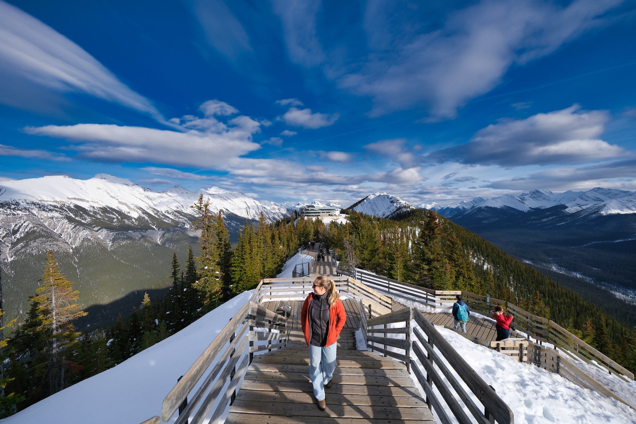
Due to its proximity to Banff town and the fact that you can take the Banff Gondola up to the peak instead of sweating it out on the trail, the top of Sulphur Mountain and the boardwalk become very busy, especially in the summer. It’s not the best hike if you’re looking for peace and quiet in nature, but it is a great free alternative to paying for the Banff Gondola.
Taylor Lake
- Distance: 13.7km
- Elevation: 907 meters
- Time: 3 to 6 hours
- Difficulty: Moderate
- Best Time to Go: Accessible year-round
- Trailhead: Taylor Lake Parking Area
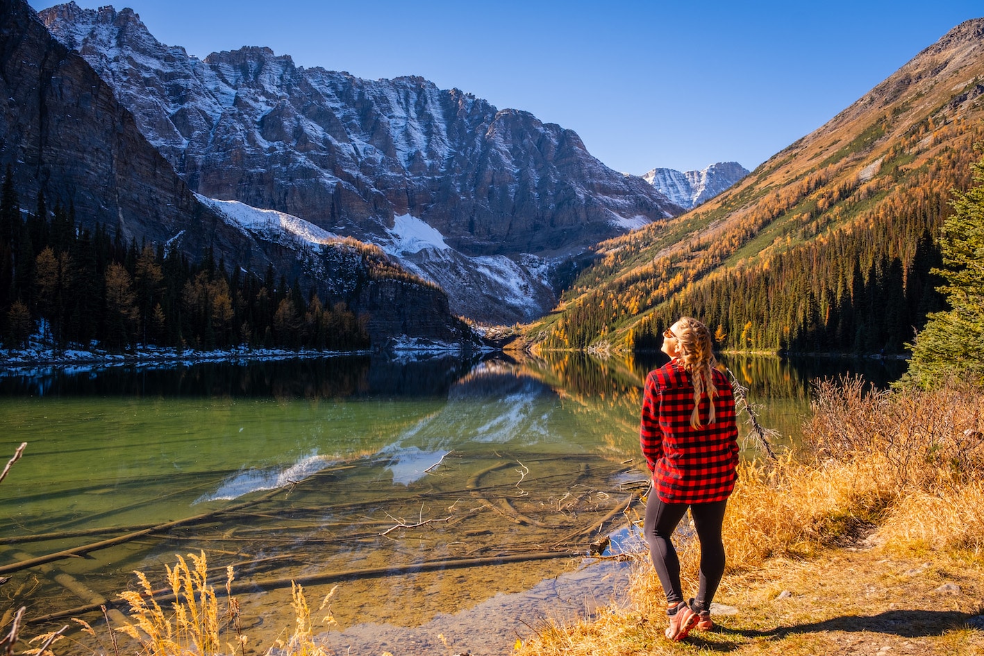
Taylor Lake sits at the base of Mt. Bell and offers spectacular views. It’s a serene place and a fantastic day out in the mountains for active visitors who come to Banff. The hike to the lake is pretty boring until you reach it, but once you get there, you’ll be surrounded by amazing views; it’s wonderful during the larch season when the whole area turns yellow.
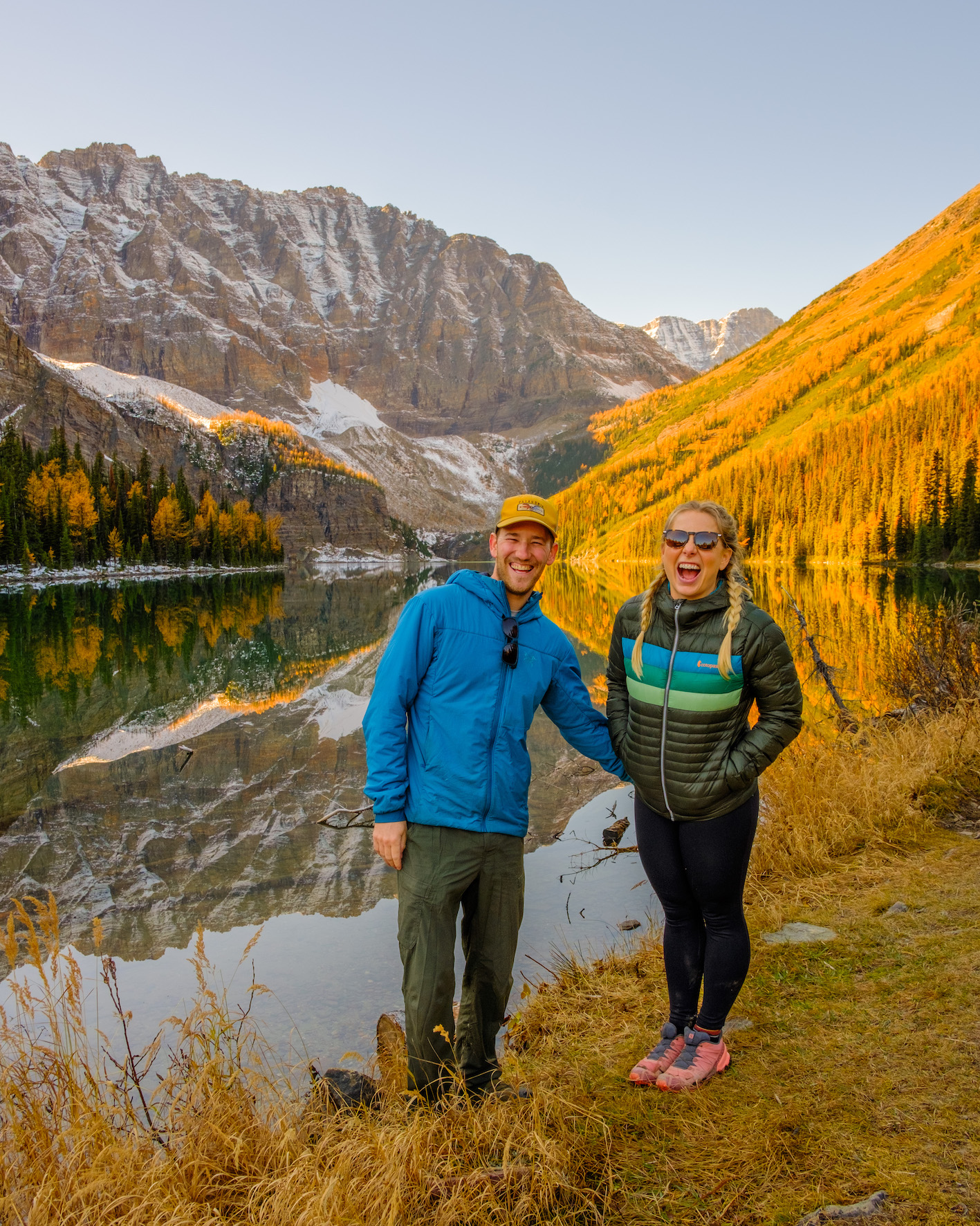
Continue on the trail and enjoy the nearby Panorama Meadows, as the widely spaced trees and elevation provide great views of the valley below. During the weekend, parking may be difficult, as space is limited. As mentioned, the other downside to this hike is that the vast majority takes place in the forest, so there isn’t much for views until the end. It’s a great payoff, though! Taylor Lake is a great year-round hike.
Arnica Lake
- Distance: 10+km
- Elevation: 750 meters
- Time: 3 to 6 hours
- Difficulty: Moderate
- Best Time to Go: Larch Season
- Trailhead: Vista Lake Pull Off. Off Hwy 93
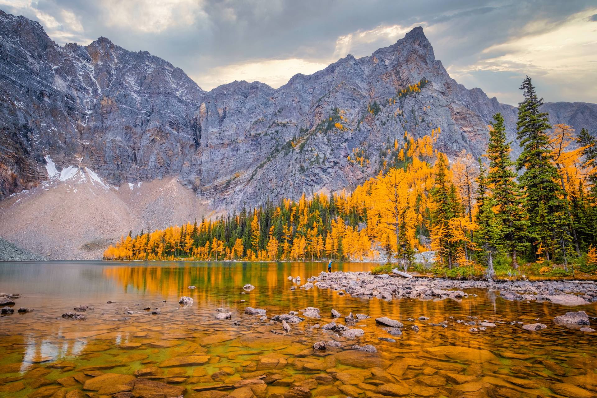
We recently checked off Arnica Lake as we knew it was a great larch hike, and boy, did it impress. This family-friendly hike starts strong with great views of Vista Lake from the trailhead. Enjoy the views from above; you’ll be heading down to Vista Lake on the way to Arnica Lake.
There are minimal views once you pass Vista Lake until you get to Arnica Lake. The trail is quite rooty and fairly steep, but it’s 750 meters spread over 5 km, so there are plenty of chances to take it slow and relax among the trees. Once you get to Arnica Lake, you’ll be amazed by the views. If you visit in late September, when the larches have turned golden, you are in for a real treat.
I love this hike because you have plenty of options to keep going and explore more. If you have more energy, you can continue to Twin Lakes, camp at Twin Lakes Campground, or turn around for one long day hike. For a truly epic circuit, you can hike up to Gibbon Pass, one of the most beautiful hikes in all the Rockies!
Boom Lake
- Distance: 10.5km
- Elevation: 175 meters
- Time: 2-4 hours
- Difficulty: Moderate
- Best Time to Go: Summer
- Trailhead: Boom Lake Trailhead
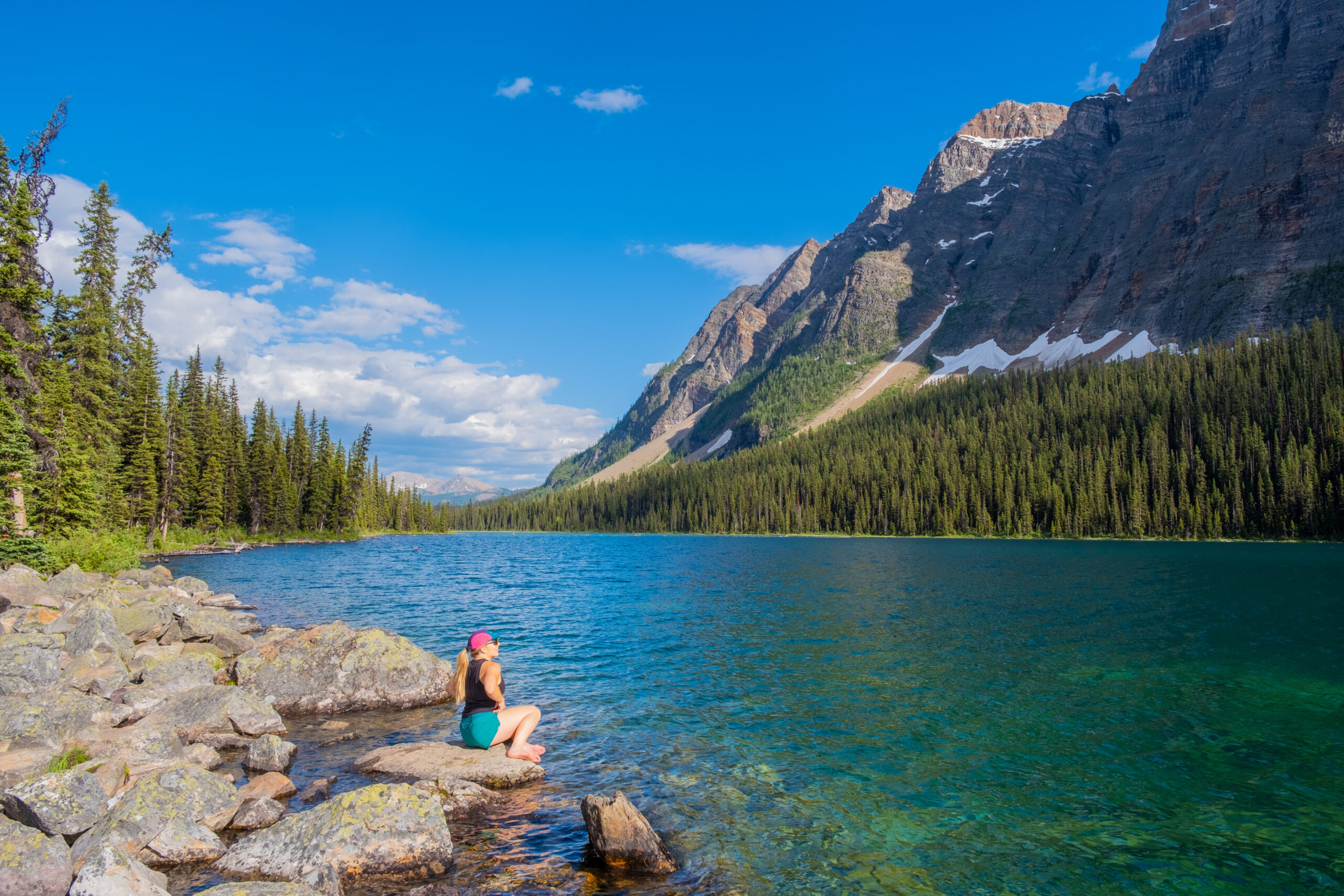
Boom Lake is a gorgeous alpine lake along Hwy 93S, right on the border of Banff and Kootenay National Park. It’s a fantastic option for those who want to get their legs moving and see gorgeous views without much elevation gain.
Most of the trail is flat, making for a fairly easy hike in Banff. It’s a nice hike through the forest, and you’ll get a chance to see some of the largest trees in the park. The start of the hike is the most difficult, as you gain around 100 meters, but after that, it’s pretty smooth sailing. The views, unfortunately, don’t change much until you actually get to Boom Lake, but it is a peaceful walk, especially if you start early in the morning or go in the evening.
Once you reach the lake, try and find a nice place to sit and enjoy the views of Boom Mountain.
Crowfoot Pass
- Distance: 10.4km
- Elevation: 520 meters
- Time: 3-5 hours
- Difficulty: Difficult
- Best Time to Go: Summer
- Trailhead: Off the Icefields Parkway
It’s not a super well-known hike, but it’s great for adventurous hikers who don’t mind a bit of bushwhacking. The trail to Crowfoot Pass is located right off the Icefields Parkway before you reach Bow Lake. The trailhead is a bit hard to find, and it involves crossing the Bow River, which, if you’re short like me, can go up to your thighs. Because of this, you’ll unlikely find anyone else on the trail.
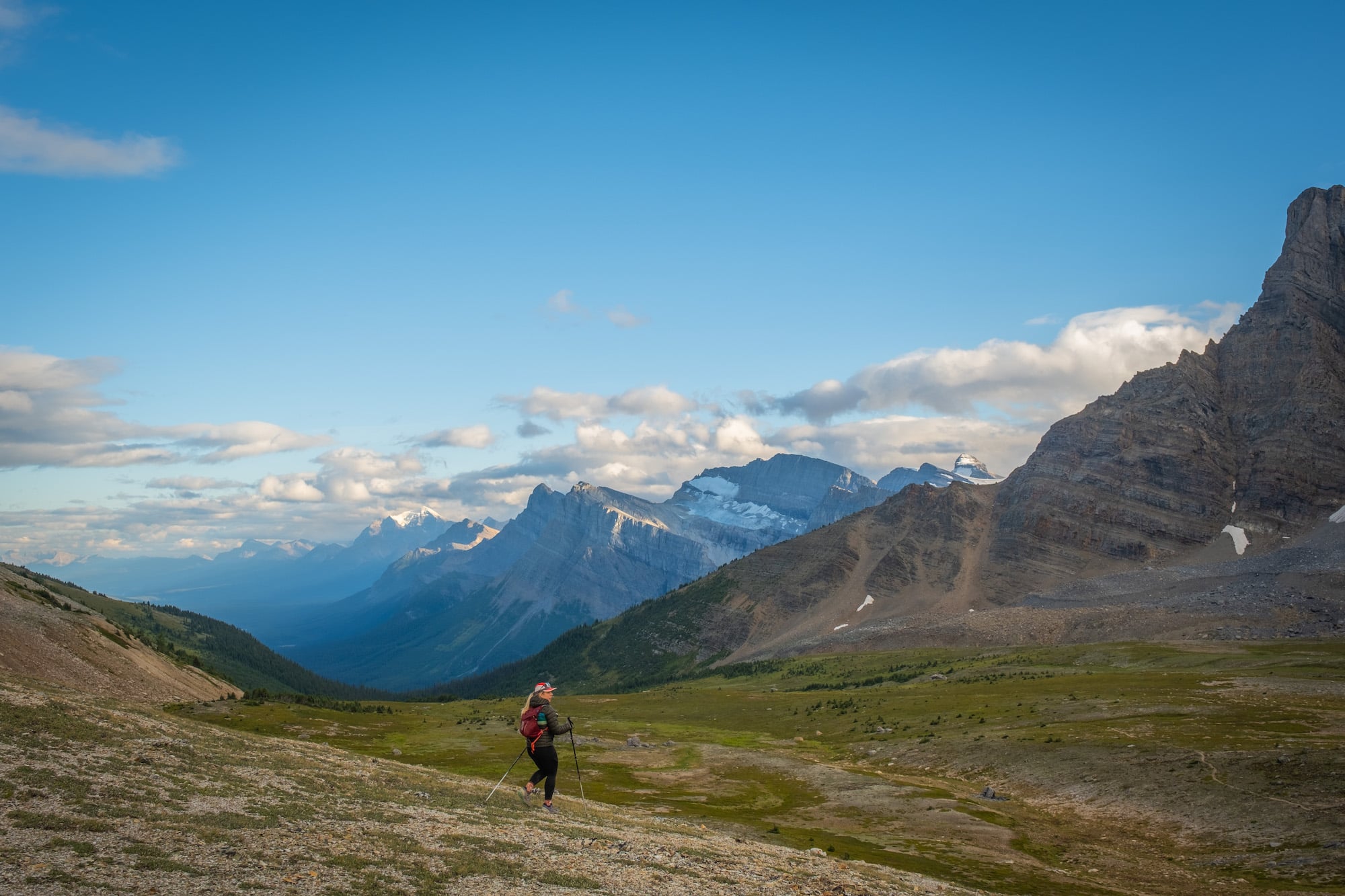
Once you get back, the water crossing continues on the trail. Along the way, you’ll encounter numerous stream crossings. Due to lots of mud and an abundance of fallen trees, this path might require more time to traverse compared to other trails of similar distance. Eventually, you’ll get past the treeline about 5km in and enjoy the most beautiful views from the pass.
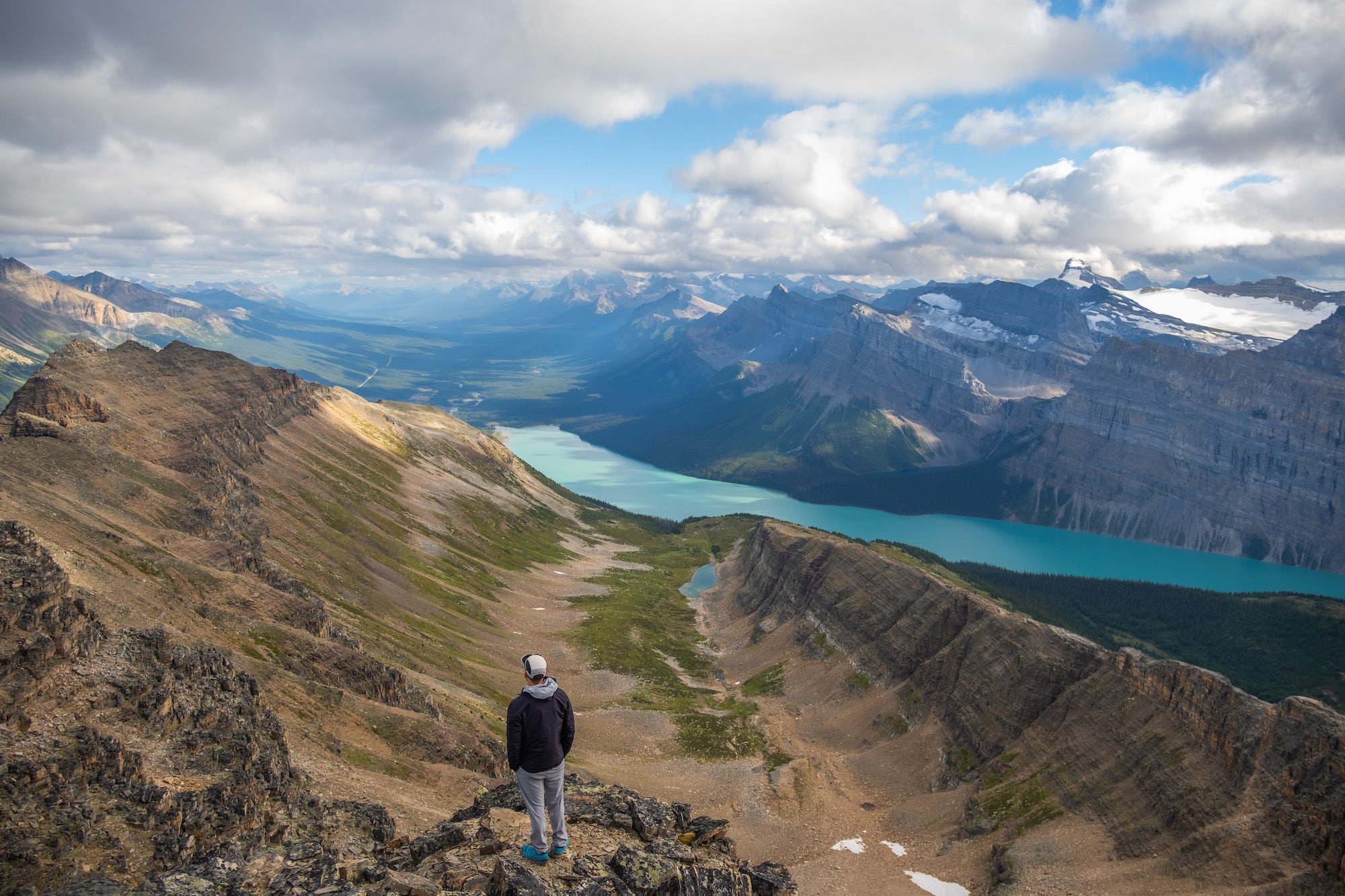
You can see Bow Lake far in the distance and some other notable peaks, including Dolomite Peak. From the pass, you can extend your day by ascending Bow Peak or heading to Balfour Prospect.
Skoki Valley
- Distance: Depends on route, but plan on at least a 20 km day
- Elevation: 965 meters
- Duration: 4 to 8 hours
- Difficulty: Hard because of the length
- Best Time to Hike: Larch season
- Trailhead: Skoki Lodge Parking
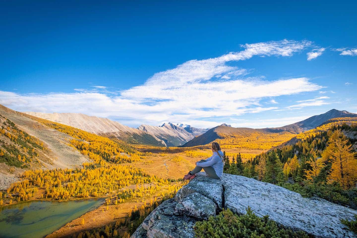
Although the Skoki area is right next to Lake Louise Ski Resort and across the TransCanada from Lake Louise and Moraine Lake, it is far less frequented or heard about than the other two. But if you go on this adventure to hike back to Skoki Lakes and the peaks in the area, you will be amazed by the scenery.
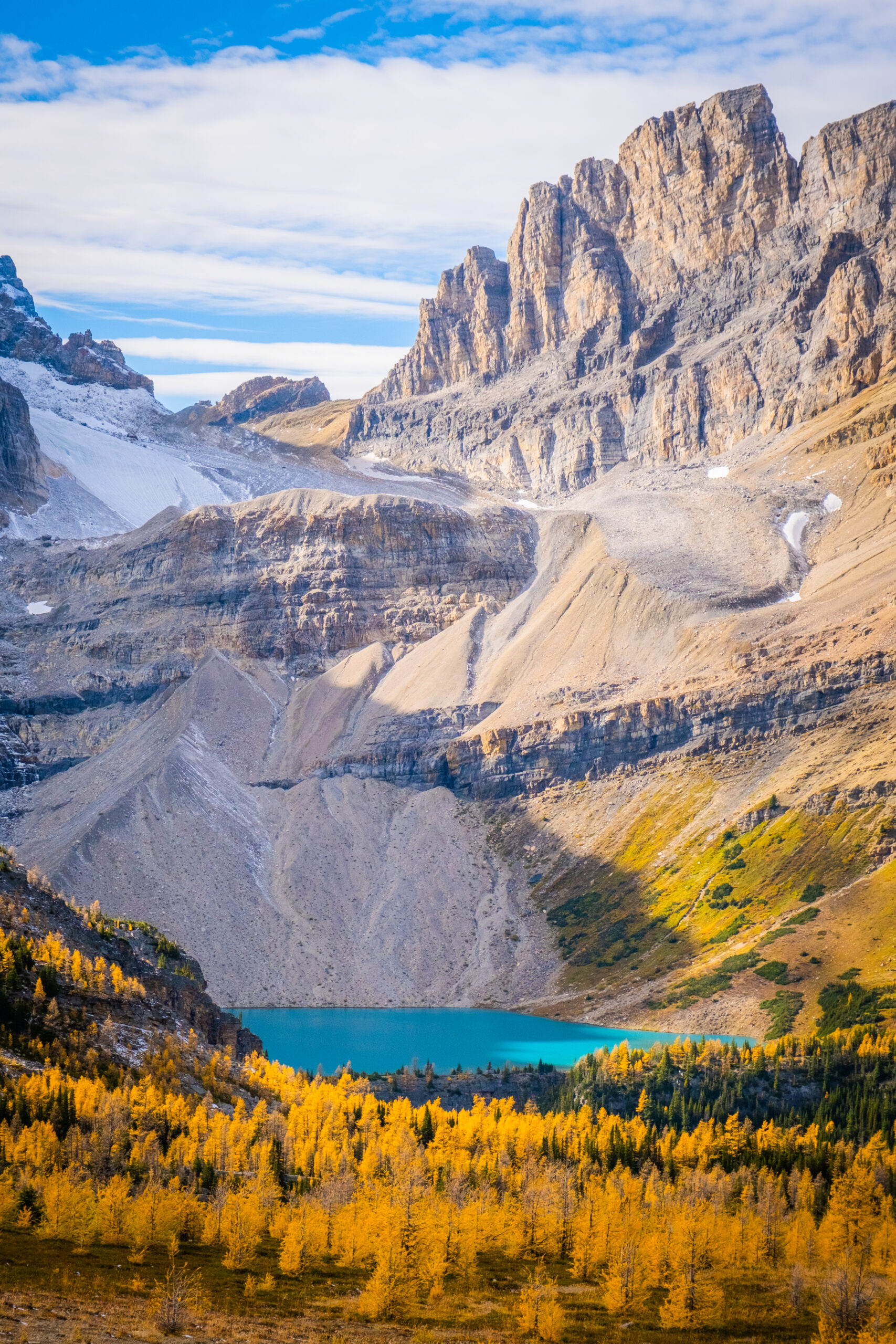
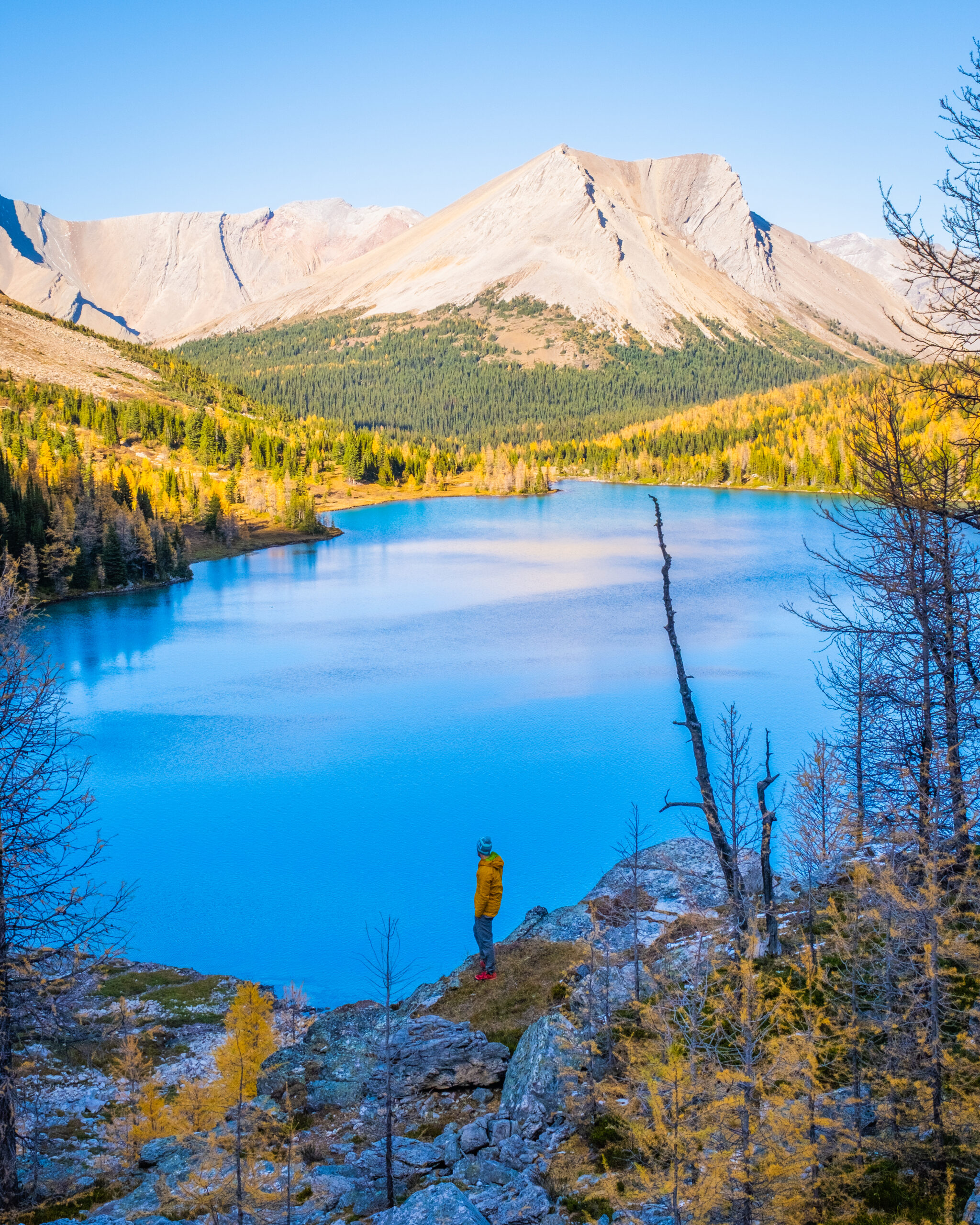
Start at the Skoki Lodge car park area near Lake Louise Ski Resort. The hike starts pretty boring, as it trails along a ski-out road until you reach the Larch side of Lake Louise. Once you reach the chairlift, the worst is behind you, and you have a few more km of hiking through the forest until the area opens up into something spectacular.
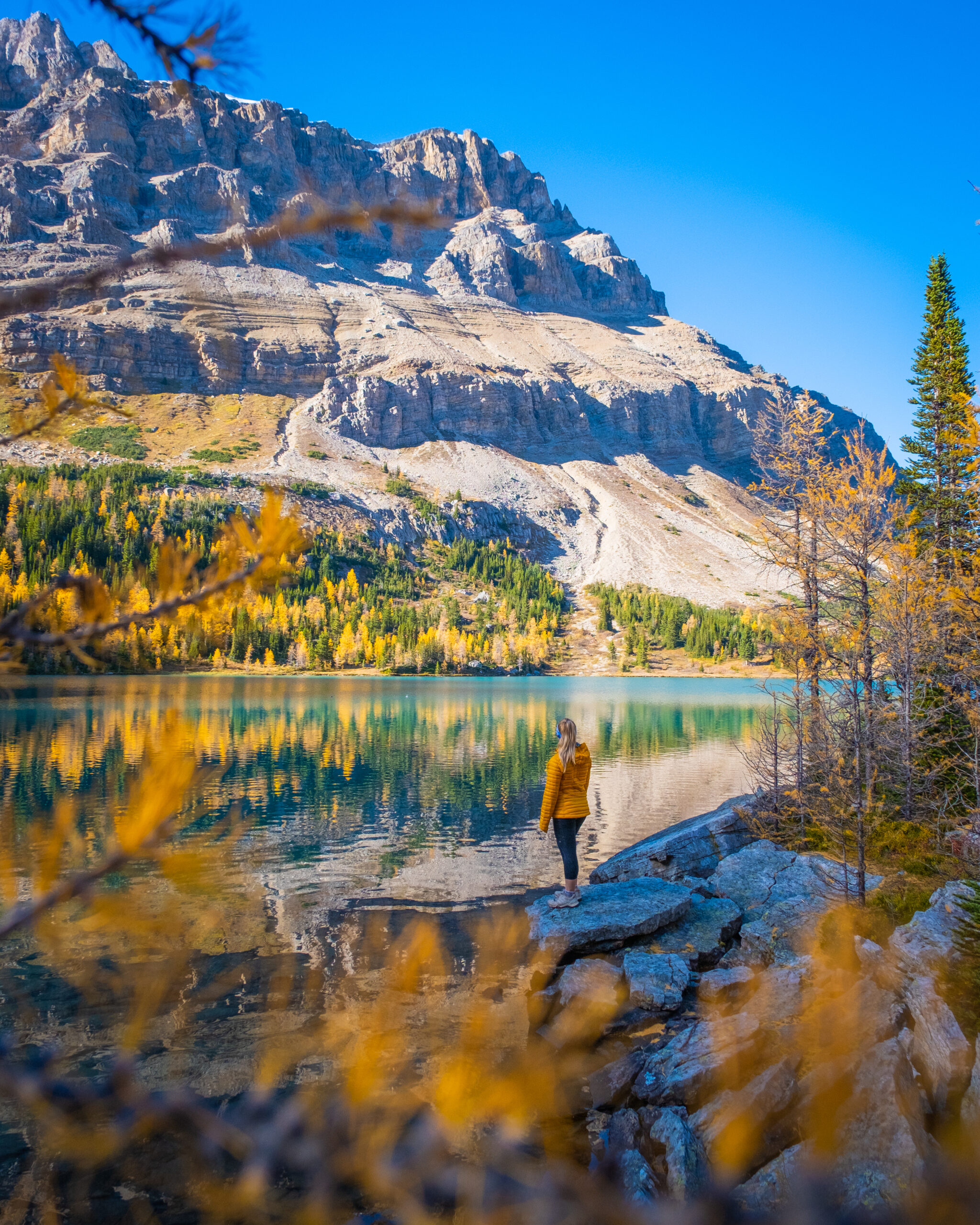
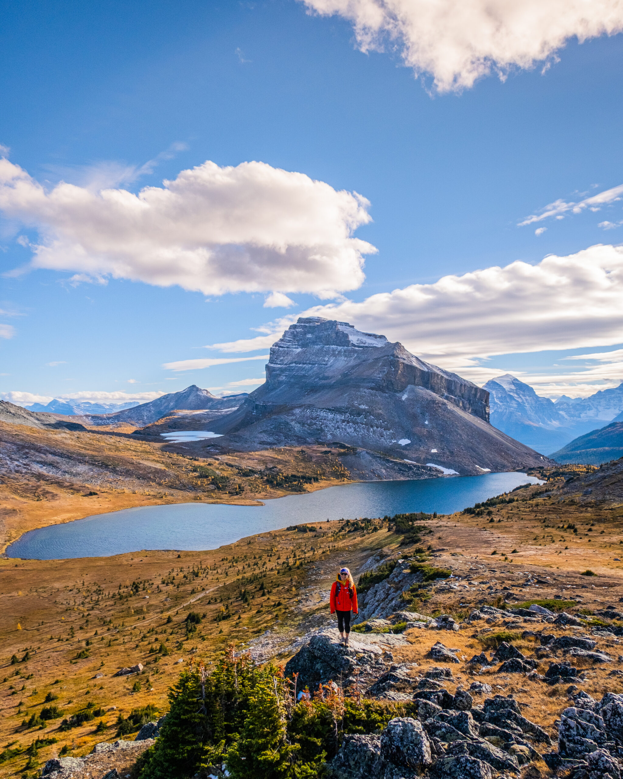
I’m not noting one hike here, as there are many hiking trails and mountains to climb once you get back into the Skoki Valley, including Mount Richardson and Brachiopod Mountain. We recommend studying a trail map before your outing to see what appeals to you.
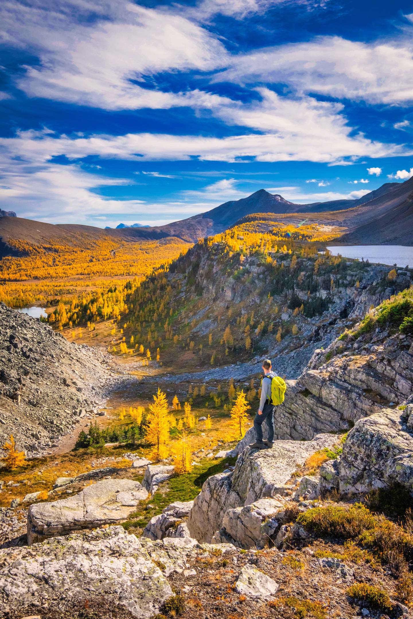
However, I found the most amazing views to be around Skoki Lakes—Myosotis Lake and Zigadenus Lake. But you can also hike to Baker Lake and Redoubt Lake, have lunch at Ptarmigan Lake, and backcountry camp back here. You’ll have to study a map and do some legwork yourself to plan out an itinerary for this area, but I’m 100% sure you’ll be blown away with whatever you choose.
This is easily one of the best larch hikes in Banff, and I would highly recommend saving this area until the trees turn yellow in late September.
Want to join a guided hike? Discover Banff Tours operates guided hikes every day in the summer to the Plain of Six Glaciers, Stanley Glacier, Consolation Lakes, and Larch Valley.
Amazing Banff Scrambles
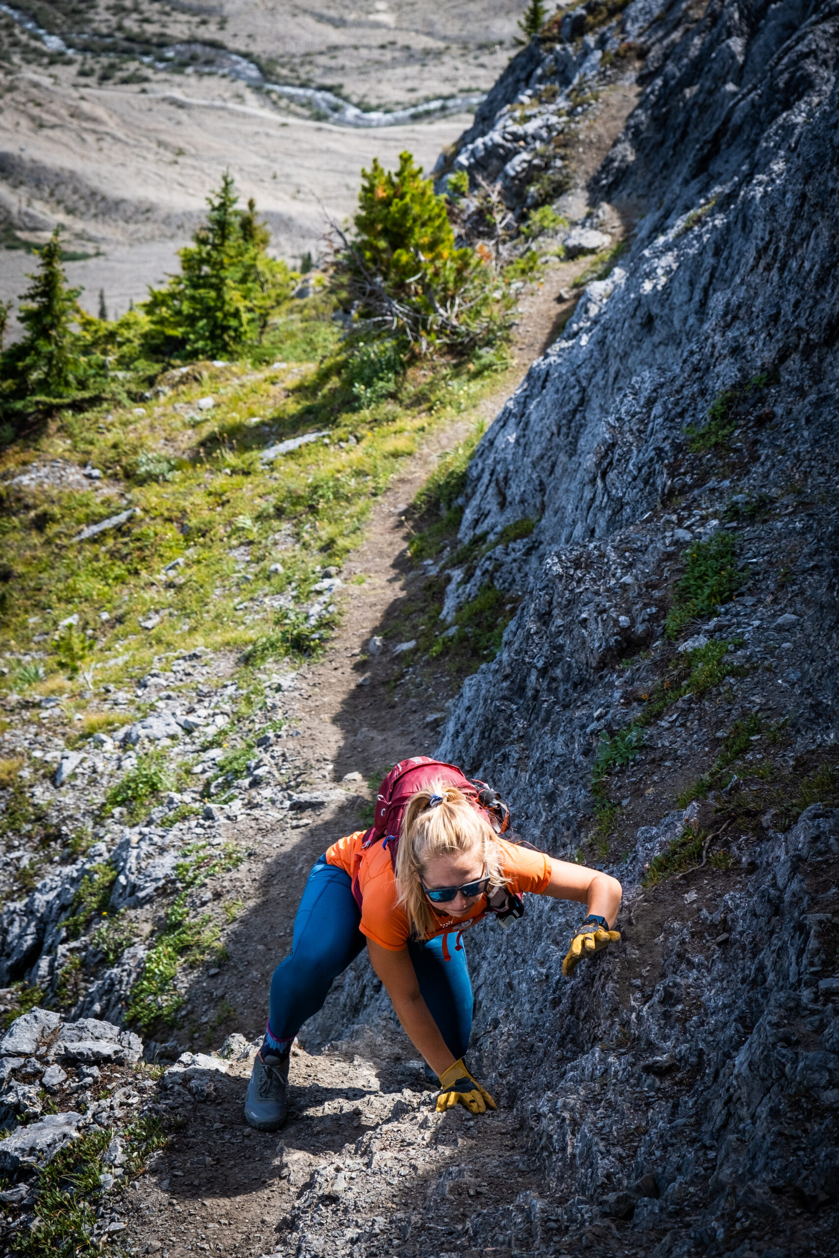
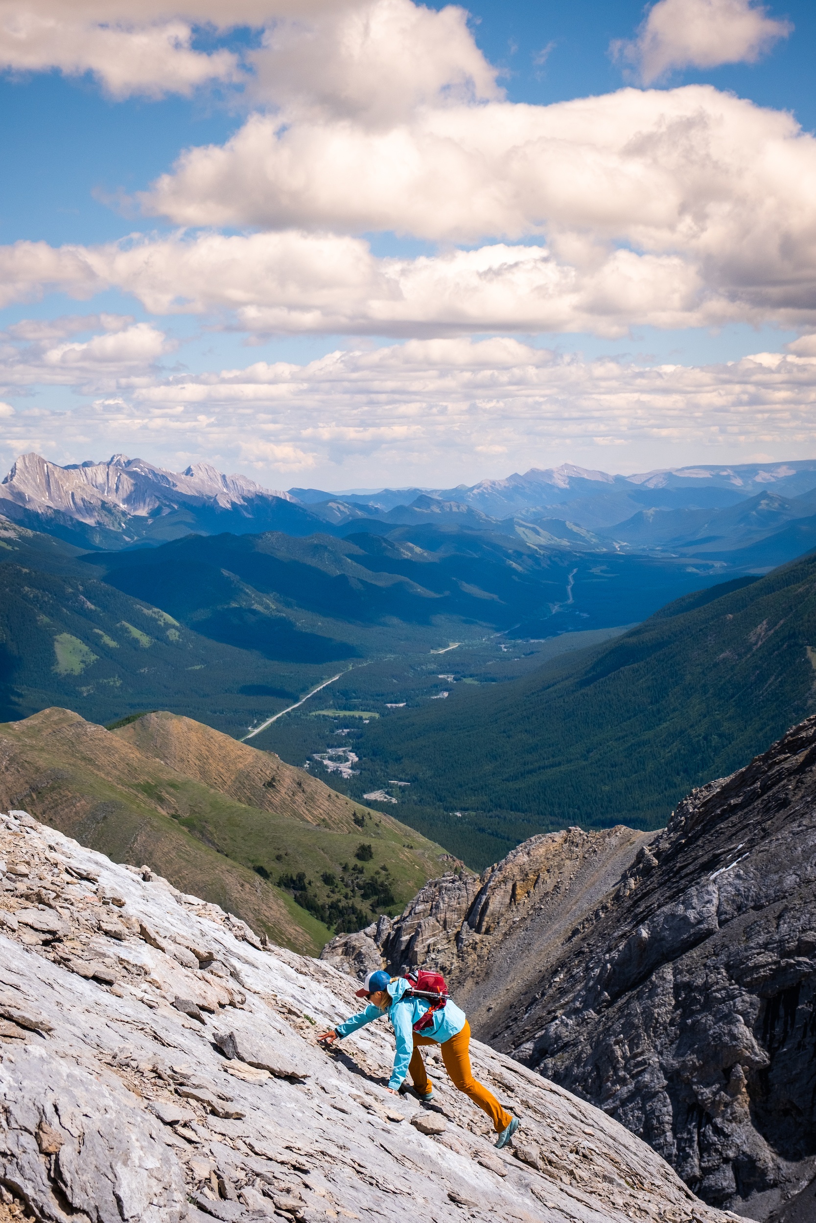
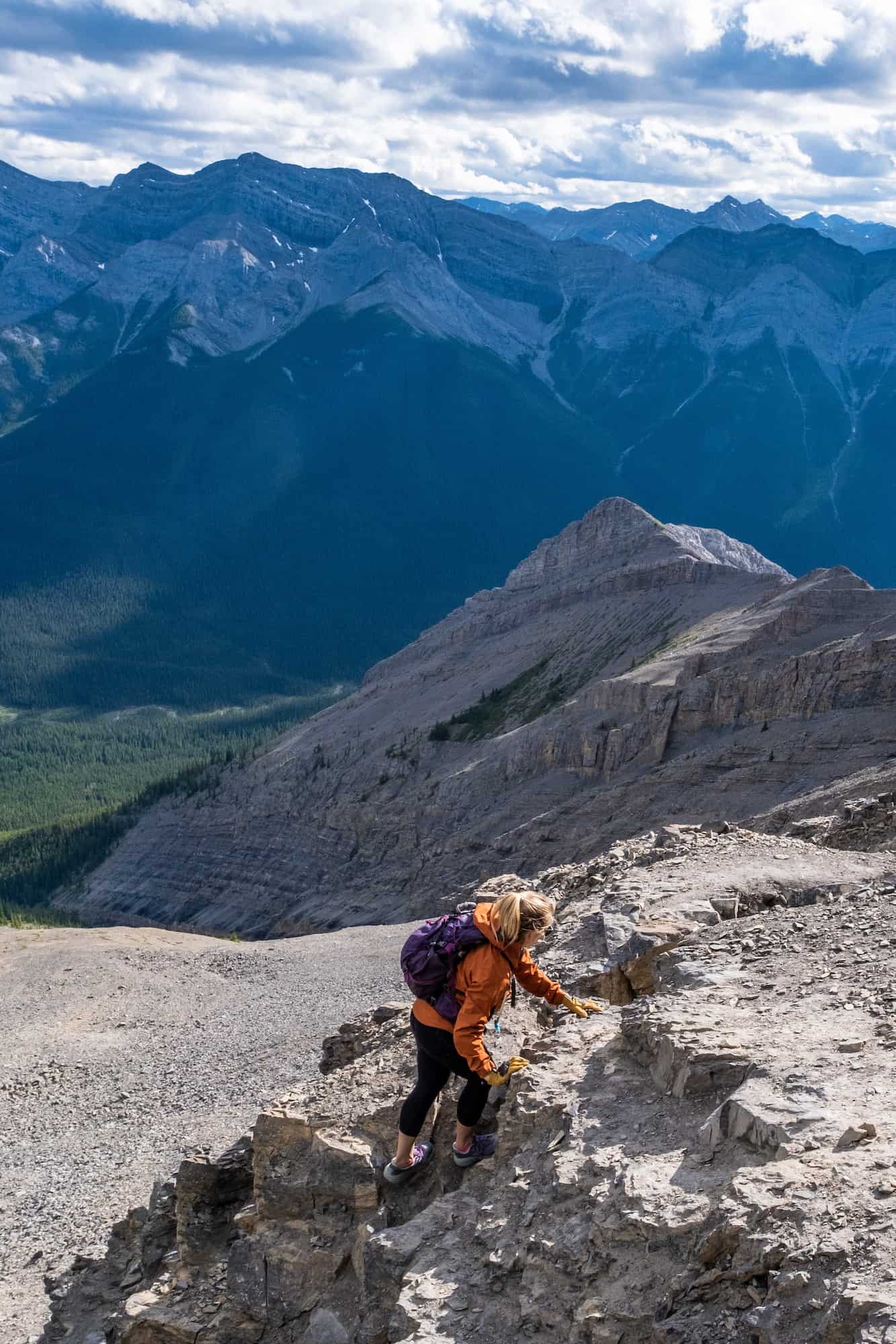
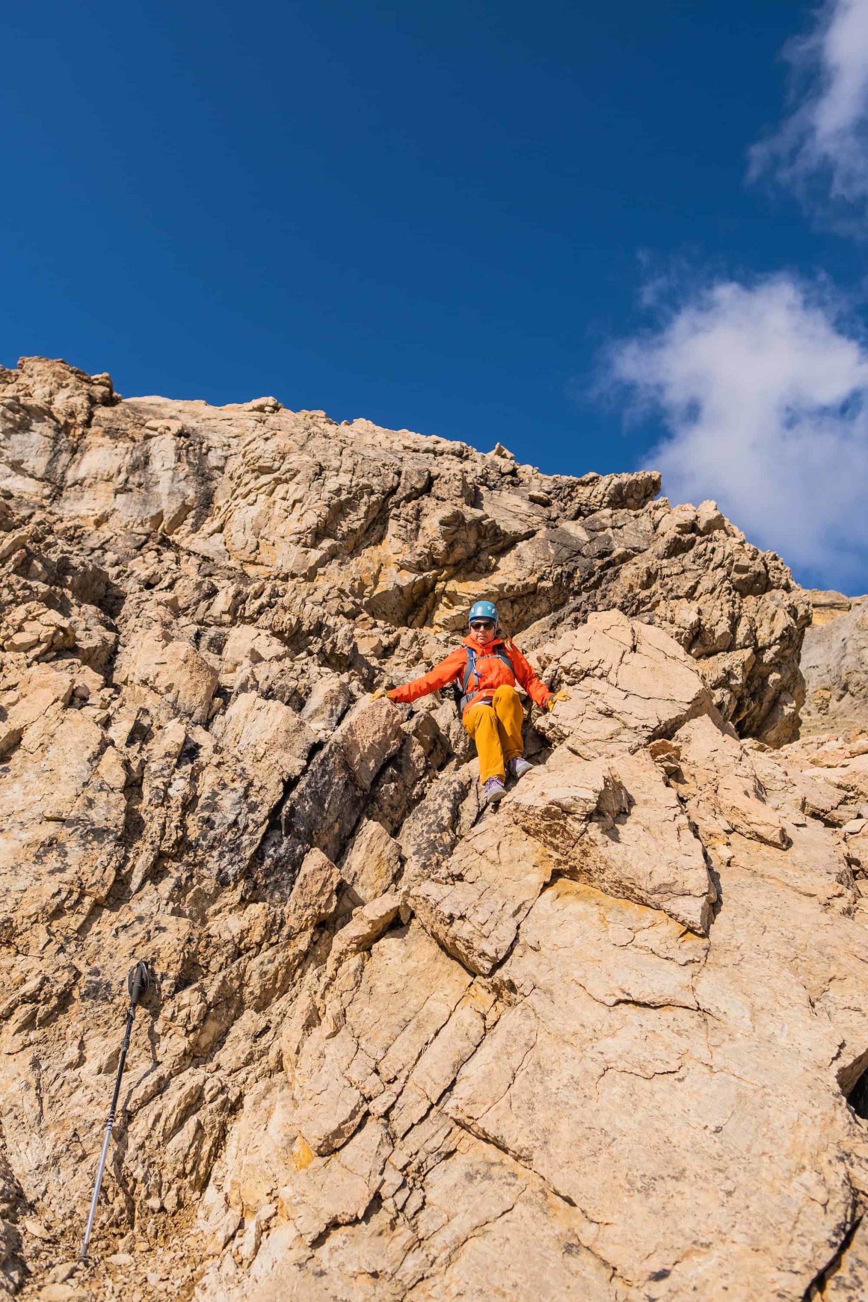
If you are a good hiker and want to try something more challenging, try scrambling. Scrambling is a walk up steep terrain involving the use of one’s hands. Three points of contact with your body are typically needed to classify a hike as a scramble. I love scrambling as it’s more challenging than hiking, and it’s typically required to access some of the big peaks in the Rockies.
It’s a prevalent sport in Banff but should not be confused with hiking. Some scrambles are dangerous, and you should have proper experience with more difficult objectives and maybe even some beginner scrambling. Some scrambles are not straightforward and do not have a defined trail, meaning route finding and a sense of adventure are needed.
You’ll also need good physical fitness as many of the most challenging moves with serious consequences come high in the alpine, and you do not want fatigue to affect your movements or decision-making. I’m unsure if we can recall a year when someone has not sadly died on a scramble route since we’ve been exploring the Rockies. Our recommendations below are all classified as easy-to-moderate scrambles.
August is the best time to scramble as most of the snow has melted off the mountain peaks. When I rate the difficulty of these scrambles, I am referring to how difficult the scramble is in terms of scrambling terms. Is there exposure on the scramble, and how experienced should you be? The difficulty scale here is different from the difficulty on a hike.
Devil’s Thumb
- Length: 11.9 km
- Duration: 3 – 6 hours
- Elevation Gain: 1,012 meters
- Helmet Recommended? Yes
- Difficulty: Easy Scramble
- Best Time To Go: June – Early October
- Parking: Lake Louise
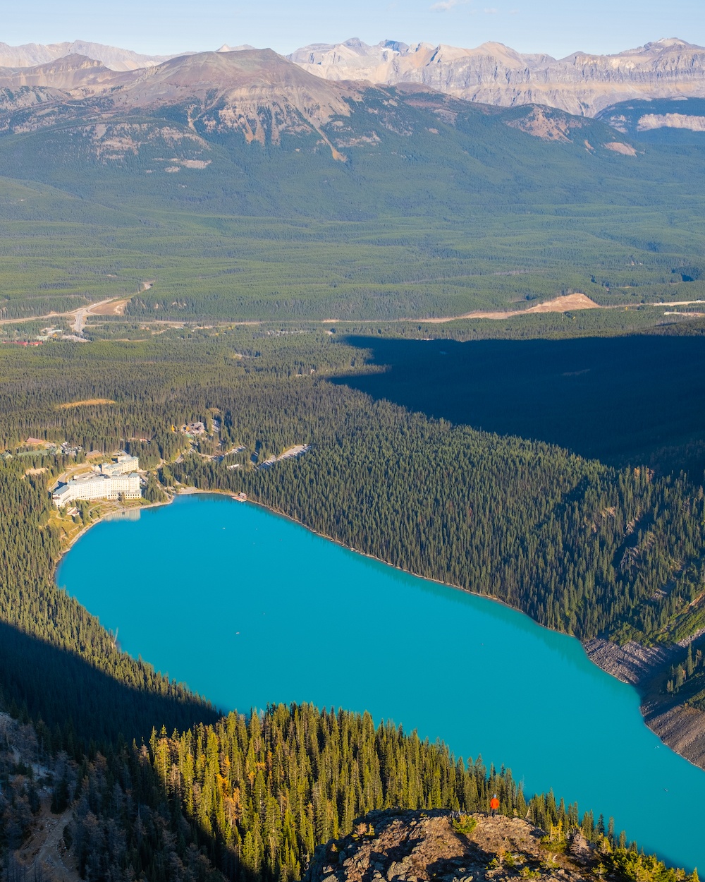
While physically, it’s not much more challenging than the Big Beehive, The Devil’s Thumb is classified as a scramble, albeit straightforward, and a great place to start for the adventurous to test their skills. From the Big Beehive hike (mentioned above), this departs from the trail to the overlook, heads along the ridge, and then up a gully to the top of Devil’s Thumb. It’s an excellent choice for the adventurous looking for something more out of their Lake Louise hikes.
The gully up to the top of Devil’s Thumb can be busy, steep, and contain loose rock; for this reason, we recommend wearing a helmet. You never know if an inexperienced hiker above you will launch a rock down the gully – hikers have been hurt here from this! It’s also why we recommend an early morning approach or late afternoon in the shoulder season when it’s quieter. We got lucky with the pandemic and checked off the scramble at the beginning of the summer when tourism was almost non-existent.
The Onion
- Length: 20 km
- Duration: 5 – 9 hours
- Elevation Gain: 850 meters
- Helmet Recommended? No
- Difficulty: Easy to Moderate Scrambling
- Best Time To Go: July to September
- Parking: The Lodge at Bow Lake
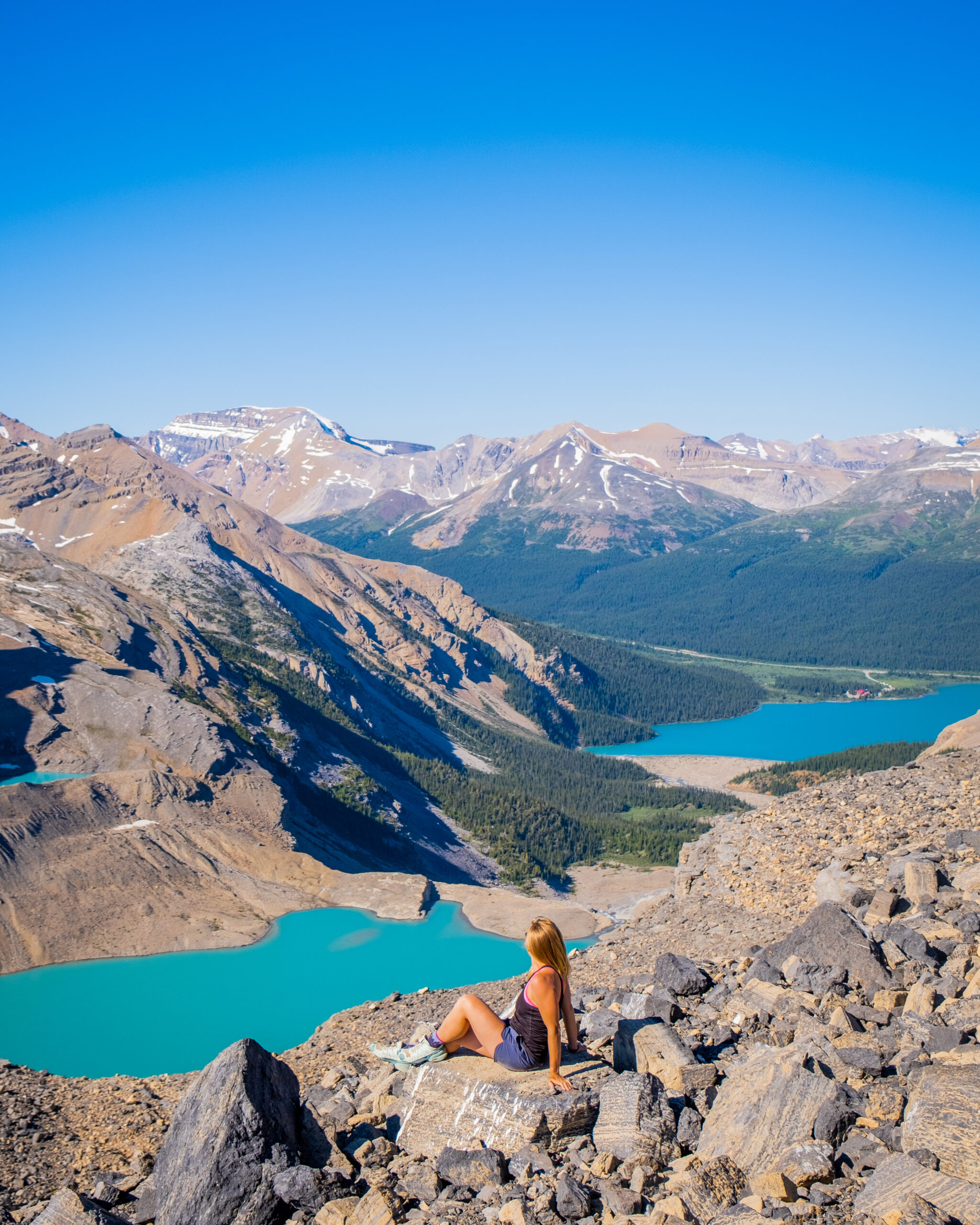
There is no shortage of Banff hikes and scrambles along the Icefields Parkway that offer views of craggy peaks topped by glaciers, and the Onion Scramble is no exception. The Onion was one of my favorite days out this past summer, as the views are insane.
It’s also a hike with little intel and not mentioned in many scrambling books or on Alltrails. **Update: This hike used to have no reviews just a few short years ago, but now it seems to have gotten more popular. It’s still far from the crowds at Johnston Canyon, but it’s worth noting.
The scramble up to this unofficial peak is right next to the Wapta Icefield, the source of the Bow River. Expect to see glaciers, waterfalls, lakes, tarns, and unique rock formations. It’s easily the most varied and awesome scramble on this list—and not technical!
Mt. Jimmy Simpson
- Length: 16.2 km
- Duration: 5 – 9 hours
- Elevation Gain: 1125 meters
- Helmet Recommended? It wouldn’t hurt, but not necessary
- Difficulty: Easy to moderate scrambling, but route-finding skills required
- Best Time To Go: July – September.
- Parking: The Lodge at Bow Lake
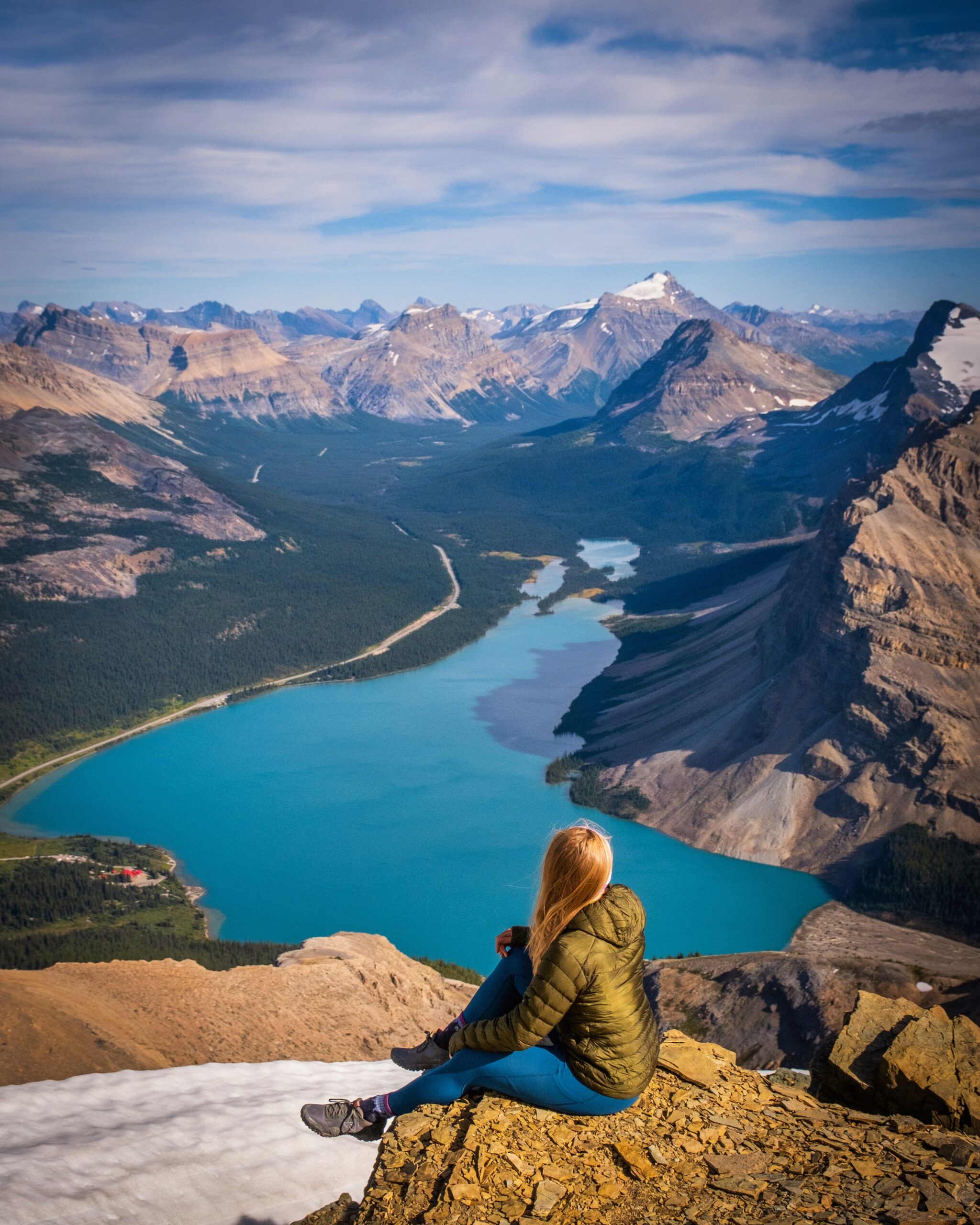
Right near The Onion Scramble at Bow Lake is Mount Jimmy Simpson, another one of my favorite scrambles. The scramble up Jimmy Simpson is long and is best left to the more experienced, as some route finding is involved. It also involves some very steep slopes that are exposed; while the slopes don’t require three points of contact, a slip or tumble could be fatal.
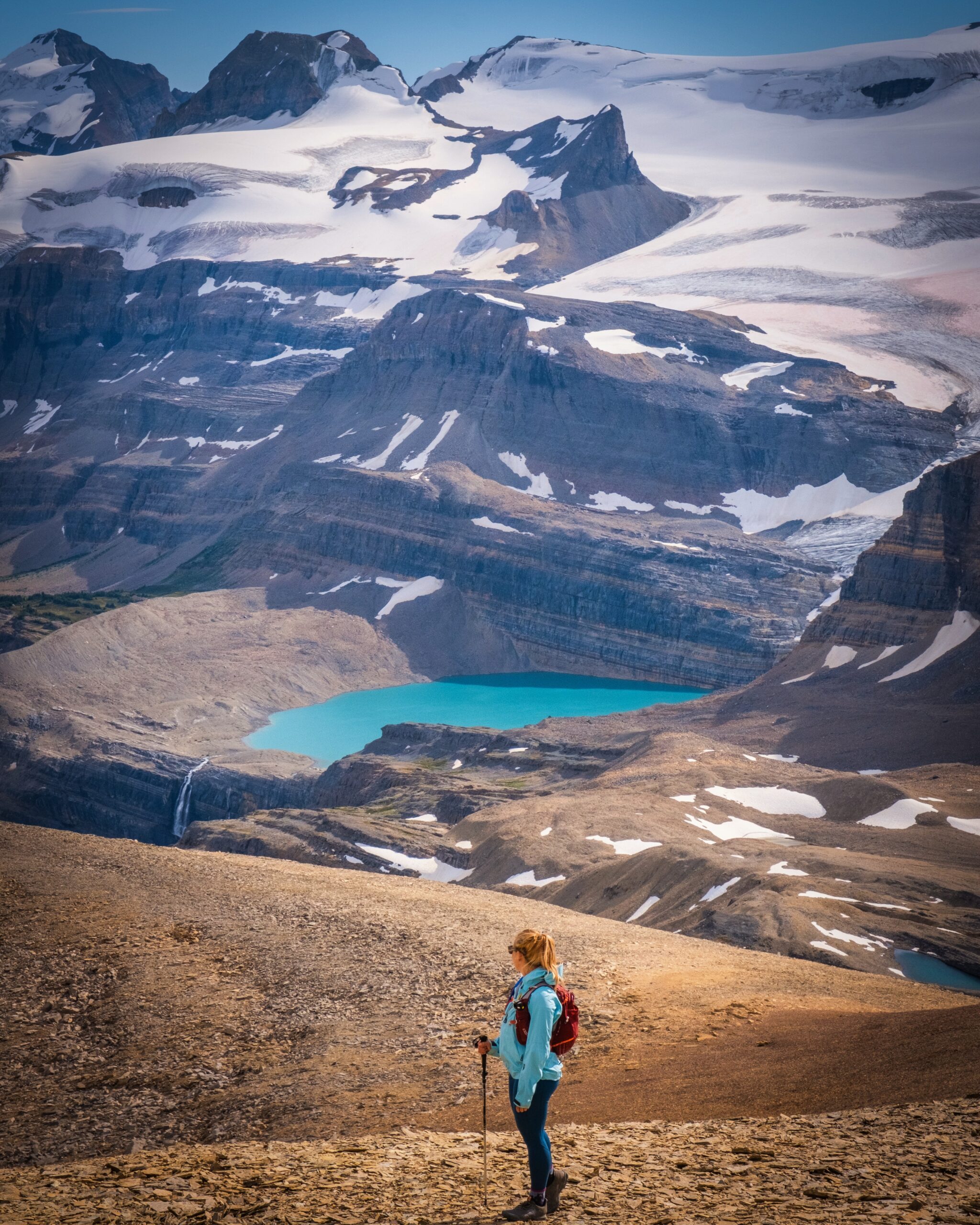
Nevertheless, if you are up for the adventure, you will be rewarded with some of the best views over the Icefields Parkway, Bow Lake, and even Peyto Lake. If Mount Jimmy Simpson is a little too long a day for you, you can always consider bushwacking up to Jimmy Simpson Jr., which involves much less elevation gain, exposure, and distance.
Mount Little Hector
- Length: 9.2 km
- Duration: 4-6 hours
- Elevation Gain: 1264 meters
- Helmet Needed: I would recommend if with a large party
- Difficulty: Easy to Moderate Scramble
- Best Time To Go: July – September.
- Parking: Hector Lake Parking area
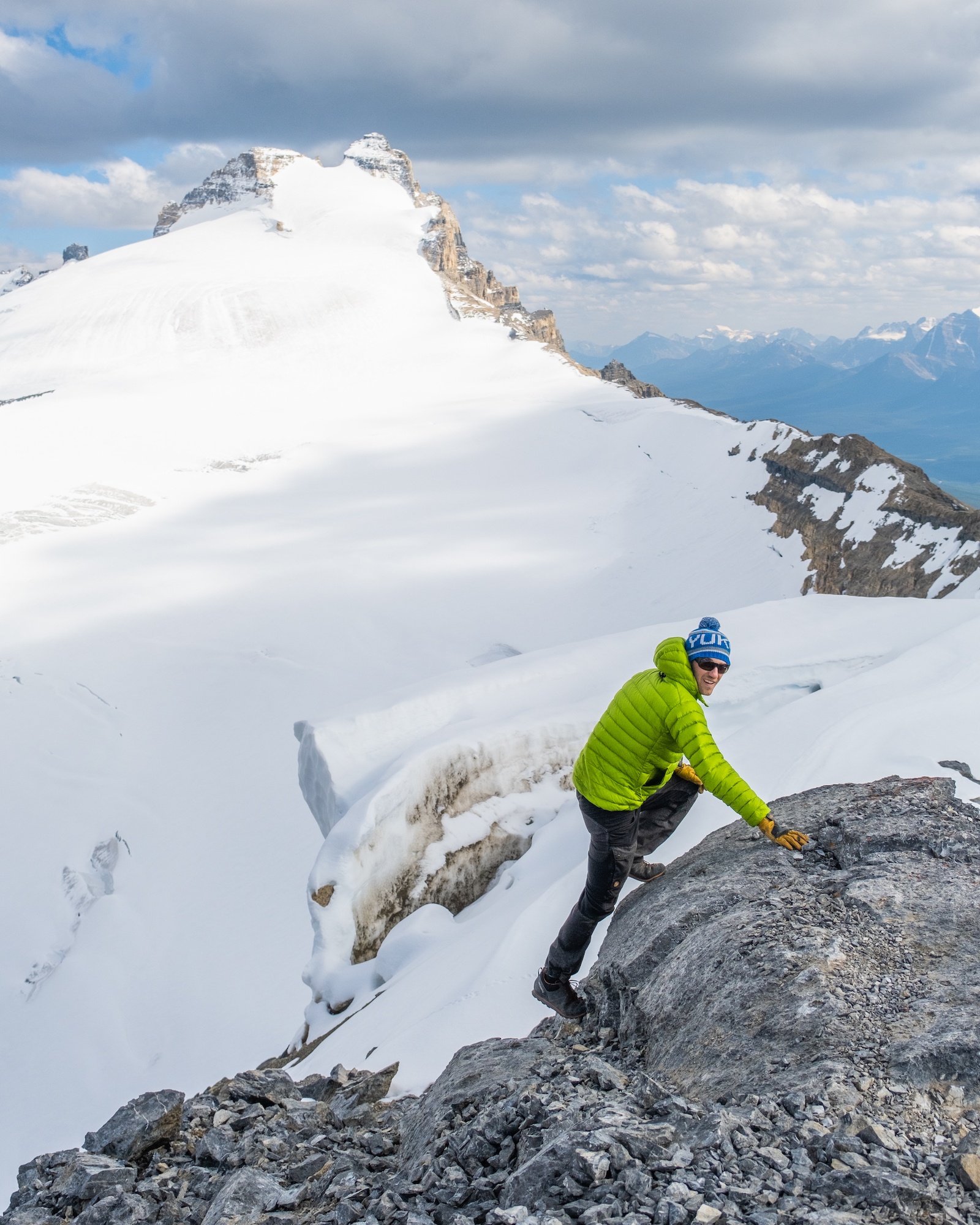
Another fantastic scramble on the Icefields Parkway is Little Hector. However, make no mistake, Little Hector is not little at all and will require you to gain almost 1300 meters in less than 5km. That means it is steep, but it’s a fun scramble with amazing views at the top.
There is actually little actual scrambling involved, but the sections requiring at least three points of contact do require some experience as a fall would result in a likely break (but probably not death). That being said, there isn’t much exposure on the route, and looking back at Hector Lake and ahead at Mount Hector sure does take your breath away.
Cascade Mountain
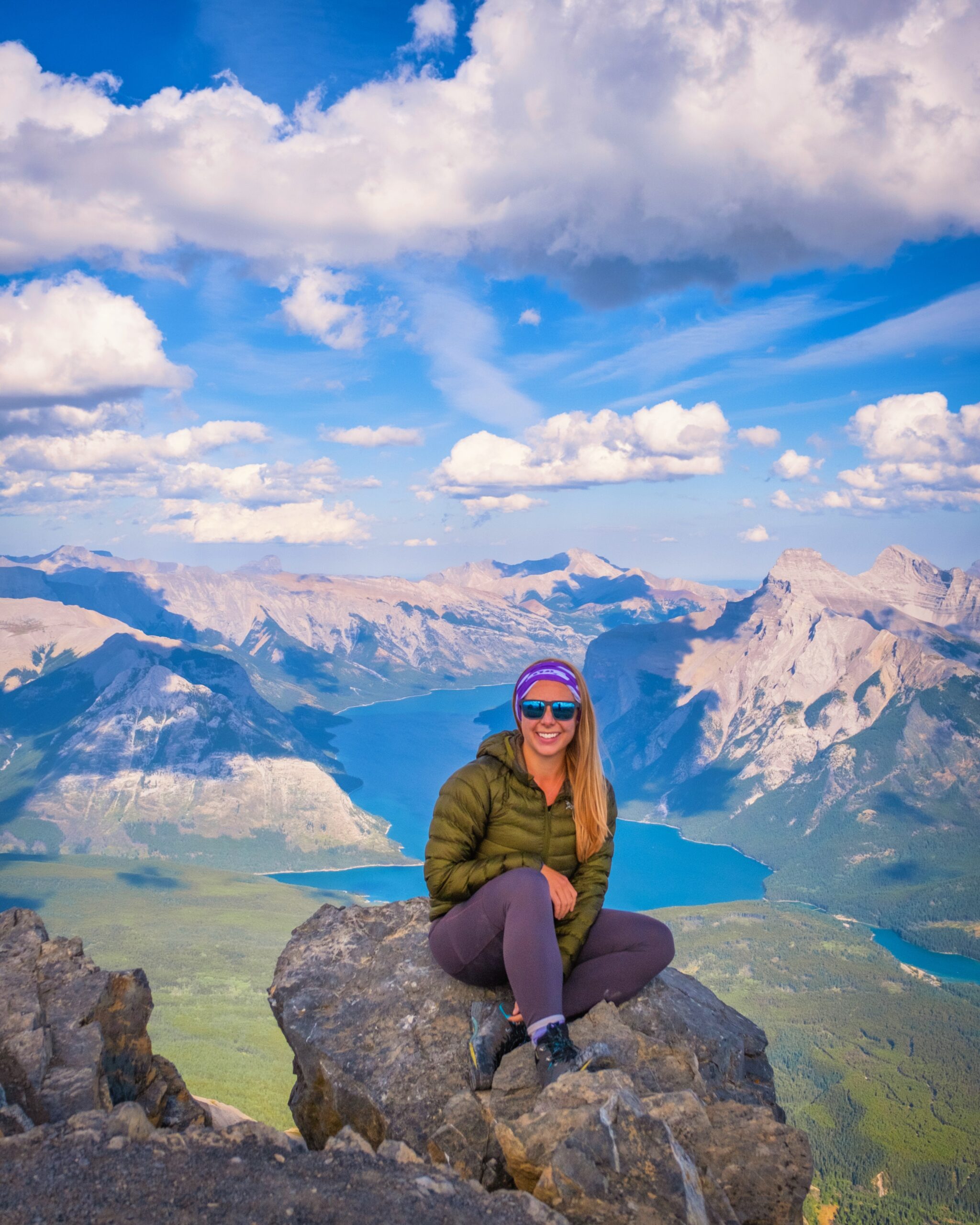
- Length: 20.3km
- Duration: 5 – 9 hours
- Elevation Gain: 1563 meters
- Helmet Needed? No
- Difficulty: Moderate. Because of length and elevation gain. Easy Scrambling
- Best Time To Go: Late July – September. If you can see snow near the false summit from town, do not attempt Cascade. Once the snow has melted, Cascade is good to go.
- Parking: Mt. Norquay Day Lodge
Cascade Mountain towers over the town of Banff and has been on every postcard of Banff National Park for years. It’s beautiful to look at, but you don’t just have to stop there! Did you know you can actually climb Cascade Mountain? It will require work and a long 20km day with a lot of elevation gain, but the rewards are fantastic views over Lake Minnewanka and the glory of saying you summited Cascade!
Plan a full day for Cascade Mountain and pack appropriately; this is a serious mountain and should not be taken lightly. If it’s your first hike in the Canadian Rockies, I would not suggest Cascade. It’s long, has a lot of elevation gain, and has a few hands-on scrambling points throughout the hike.
We met many people on Cascade who had never hiked before, and I don’t think that’s such a good idea for such a big mountain. However, if you’re an experienced hiker looking for a longer objective, Cascade is good.
Tower of Babel
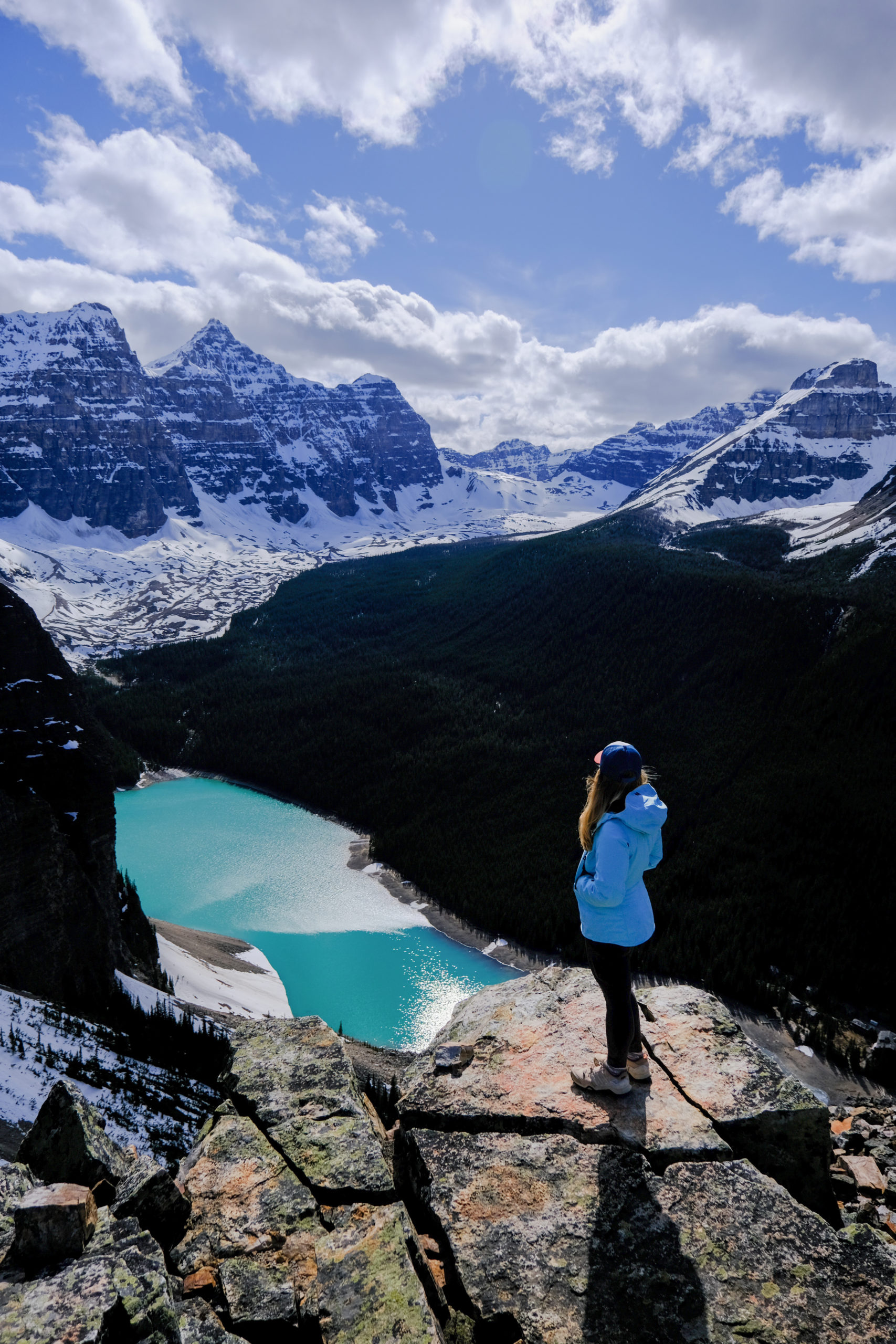
- Distance: 2.9 km
- Elevation: 518 meters
- Time: 2.5 to 4 hours
- Helmet Necessary? Recommended
- Difficulty: Easy scrambling. Very Steep the whole way.
- Best Time To Hike: June – Mid October
- Trailhead: Begins at Moraine Lake Rockpile Trail
The Tower of Babel is a sub peak around Moraine Lake and perhaps the most well-known scramble around the Lake Moraine and Lake Louise area. It’s a quick objective with awesome views of Moraine Lake, Consolation Valley, and the Bow Valley. However, just because it’s a quick one does not mean it is easy – actually, it’s quite intimidating, as it’s literally almost straight up the entire way.
The views of Moraine are impressive, and looking ahead at Mount Temple and behind you at Mount Faye sure does leave you jaw-dropping. Since parking is no longer allowed at Moraine Lake, we recommend taking the Moraine Lake Parks Canada shuttle or book the Moraine Lake Bus Company, which will get hikers to Moraine Lake before sunrise for an alpine start.
Observation Peak
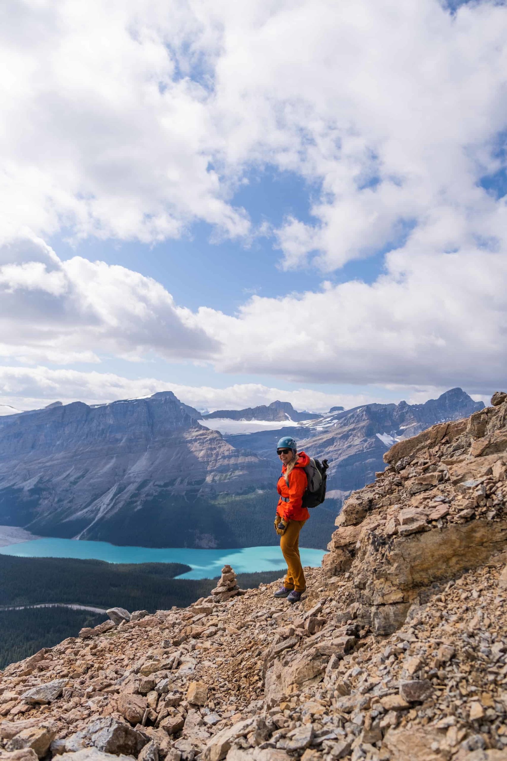
- Length: 8.2km
- Duration: 5-8 hours
- Elevation Gain: 1,067m
- Difficulty: Moderate scramble
- Best Time To Hike Observation Peak: July – September
- Where to Park: Across the street from Bow Summit/Peyto Lake car park.
- Helmet Necessary: Yes
Have you heard of the Instagram-famous Peyto Lake? In the summer, most visitors park in the nearby parking lot and walk up an easy 10-minute maintained path to see it. However, those looking for an alternative, more adventurous way to see Peyto Lake should consider the scramble up to Observation Peak.
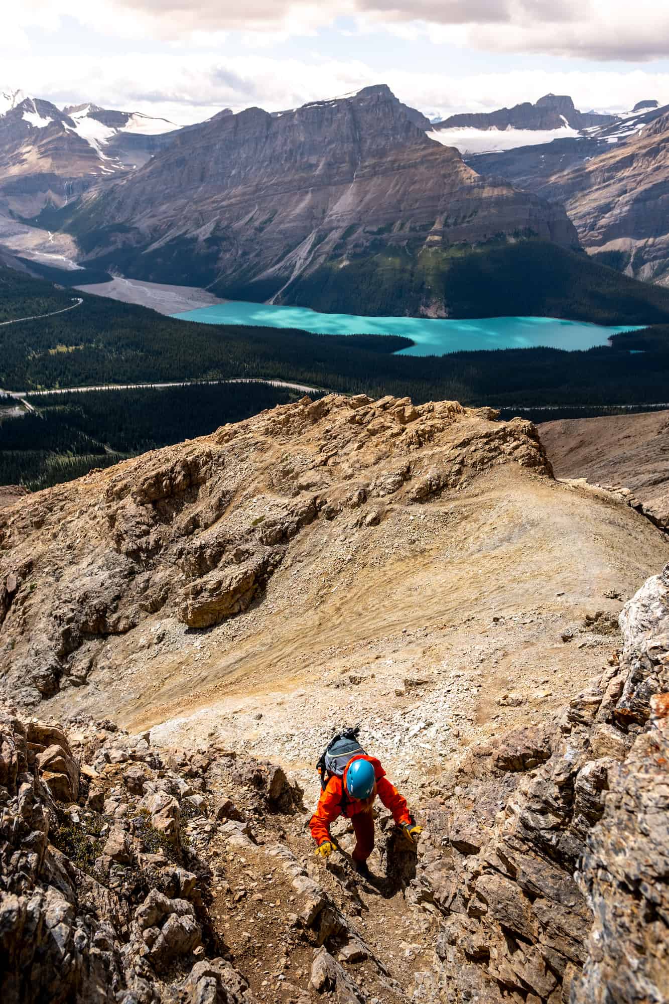
Observation Peak is a moderate scramble that can be done in half a day, but is not for those new to hiking and scrambling. It is one of our favorite scrambles in the Canadian Rockies and provides an excellent workout, stunning views, and little to no other visitors around.
You get unparalleled views over Peyto Lake and the Icefields Parkway; however, some intimidating scramble sections require experience scrambling in the Rockies. There are also many sections that require handholds, which is a bit more than most easy/moderate scrambles.
Our Recommendations
The classic hikes for first-timers are Johnston Canyon, Tunnel Mountain, and Lake Agnes Tea House.
If you want a short, easy hike with big-view payoffs, we recommend Parker Ridge Hike.
If you are hiking with kids, try Johnston Canyon, Tunnel Mountain, Parker Ridge, or Little Beehive. Or take a look at our favorite easy hikes in Banff.
If it’s your first time on a scramble consider Devil’s Thumb, or drive a bit further to Paget Peak in Yoho.
Our personal top three favorite Banff hikes are Skoki Valley, Healy Pass, and Paradise Valley.
Our top three favorite scrambles are The Onion, Cirque Peak, and Mt Jimmy Simpson.
When is the Best Time to Go Hiking in Banff?
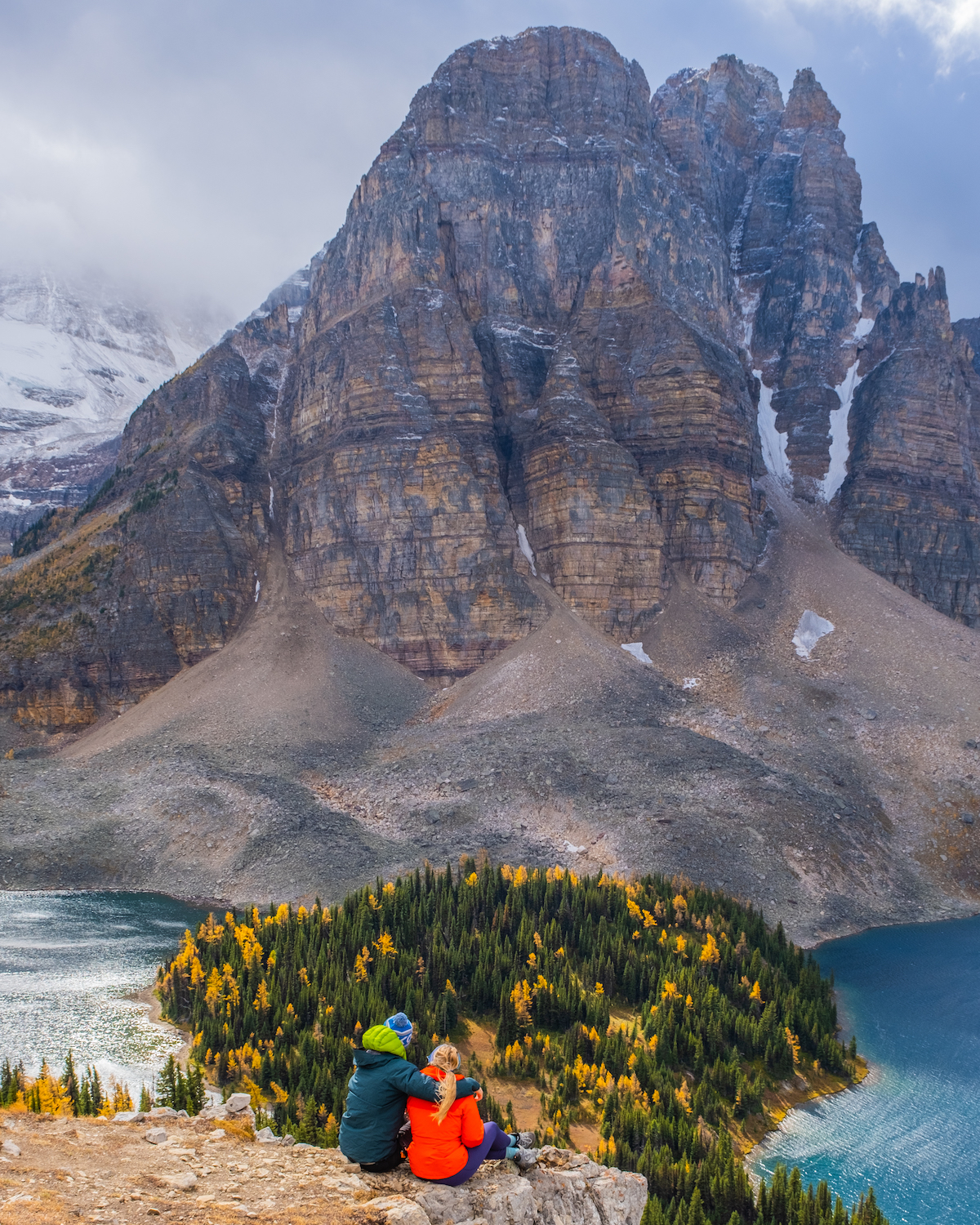
The best time to go hiking in Banff is during the summer months of July and August. This is when most of the snow on high-elevation hikes has disappeared, especially in August. If you have anything big on your Banff hiking list with a chance for snow lingering around at the peak, wait until late July and August.
That being said, the hiking season in Banff *officially* starts in early to mid-May (for us, anyway), as this is when the ski season ends and our brains immediately switch to hiking. In May, you’ll be able to get out on lower-elevation hikes like the Prairie View Trail in Kananaskis without the risk of snow. As the summer progresses, your choice of hikes will expand, and you can work up to the higher elevation hikes.
By early June, a hike up the Lake Agnes Tea House, or maybe even further to Mount Saint Piran, is a great option. Great hiking in Banff typically lasts through September (larch season!) and the first few weeks of October, depending on the year. By the end of October/early November, there will certainly be snow at higher elevations, and it’s time to switch to winter mode again.
This is not to say that you cannot hike in Banff in the winter, as there are plenty of fun trails. You’ll just have to consider winter conditions and temperatures. See some of our favorite Banff winter hiking trails here.
There’s Always Hiking in Kananaskis!
For more hikes near Banff, consider Kananaskis Country!
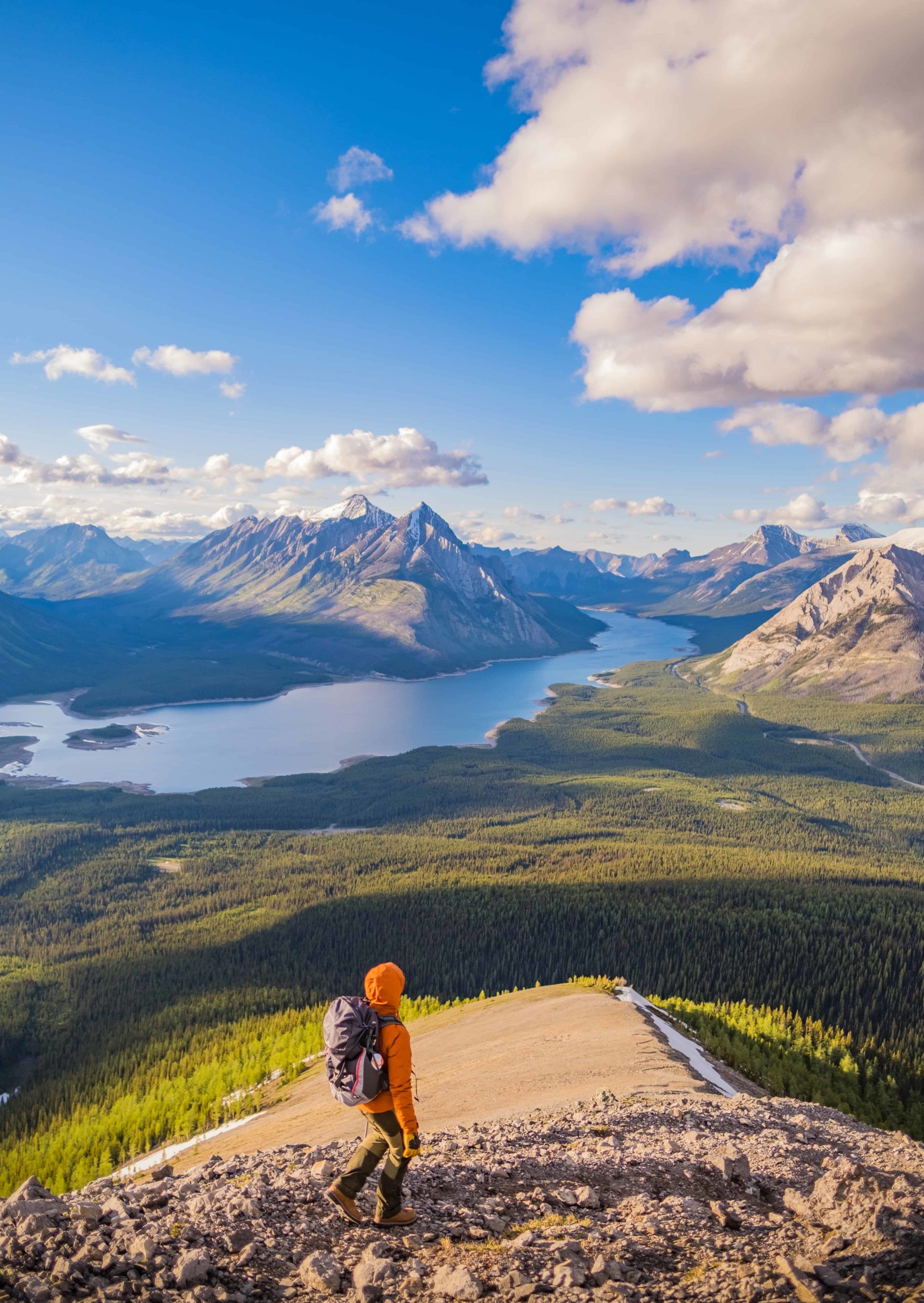
This list was just the best Banff hikes, but there is so much more in the area, such as Yoho National Park and Kananaskis Country. Both offer spectacular hikes near Banff and are home to some of our all-time favorite hikes and scrambles in the region. To learn more, we’ve got a post on our favorite easy hikes in Kananaskis Country as well as our all-time favorite Kananaskis hikes, ranging in difficulty.
Hiking Gear We Recommend
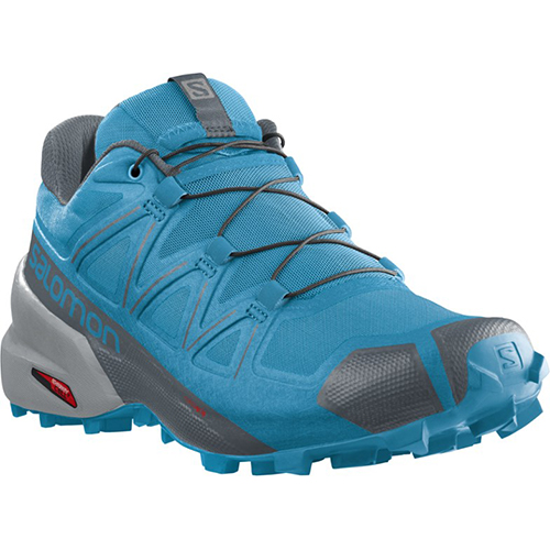
The vast majority of hikes and easy scrambles in the Rockies, you’ll find us in our trusty Salomon Speedcross.
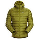
Arc’teryx Cerium is our pick for the best down jacket. It’s incredibly light, and we bring it on almost every hike in the Rockies.

This nifty clip from Peak Design secures a camera to my backpack strap for easy reach. No more digging in the backpack!
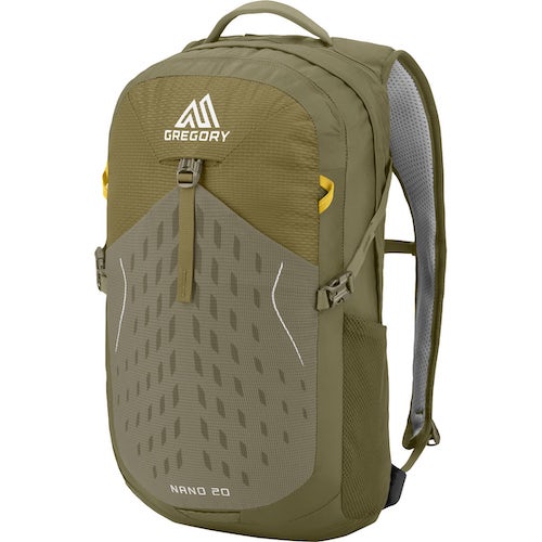
20L feels like the ideal size for quick hikes and scrambles. We love the Nano from Gregory with a hydration reservoir.

There is not much cell service in the Canadian Rockies. In case of emergencies, we carry an emergency beacon with GPS.
Advice On Hiking in Banff
- If it’s your first time on these hikes around Banff, take a conservative approach – read our post for beginner hikers in the Canadian Rockies too. Pick an adequate hike for your fitness, plan for plenty of time, pack water and food, and don’t be afraid to turn around. If you want to learn more about what to wear hiking, we have a great post.
- Always carry bear spray if you plan to hike in Banff. Always practice wildlife awareness when you’re on a trail, and please give animals space. We talk a lot about bear safety in the Rockies here.
- Leash your dogs. Dogs must always be on a leash while hiking in Banff.
- If you plan to tackle some of these hikes in Banff during winter, snowshoes, microspikes, and poles are a huge help. If you plan on hiking a lot in the winter, taking an Avalanche Safety Course is recommended.
- There is no cell service for most of these hikes, a Garmin Inreach, or something similar could save your life!
- For all of these hikes, you will need a Parks Canada Pass. The pass costs $11.00 for the day, or get a Discovery Pass, which gets you entrance to all Parks Canada destinations for the year and is only $151.25 for a family. You can purchase this at any park gate.

New in 2025! We just released our local guide to the Canadian Rockies! Discover 300+ hidden gems, hikes, and cabins not found in your typical guidebook. We’re offering a 10% off intro offer using code BLOG10 at checkout!
Plan Your Trip to the Canadian Rockies
- We now have an interactive map! With over 350 stops and pre built itineraries around the Canadian Rockies, our personal map and guide is your one stop shop to an epic trip here.
- Recommended Experiences: There are many things to do in the Rockies, but our top recommendation is the Banff Gondola – a must do experience! Want to get up close and personal with a glacier? We cannot recommend this Icewalks tour enough! See more of our recommendations.
- Planning your visit to Moraine Lake and don’t want to deal with the Parks shuttles? We recommend using Moraine Lake Bus Company, Fairview Limo (leaves from Lake Louise Village) or booking with ViaVia (these leave from Banff/Canmore).
- Hotels in the Rockies: There are many places to stay, from luxury hotels to wilderness cabins. See all our favorites here.
- Get Around: We suggest renting a car to get around. You can search for rental cars on Discover Car. For a campervan trip, you can check prices and compare on Outdoorsy. Don’t forget the Guide Along Audio App for driving the Icefields Parkway (Use our link for 25% off!)
- We can help you plan your 2025 trip to Western Canada! If you’re feeling overwhelmed by planning we can assist! We’ll hop on a 1 on 1 phone call, and PERSONALLY go over your itinerary, and will save you previous time and money with our personal recommendations. Calls are followed up with detailed trip notes afterward that I write myself. See our services here.


Can’t wait for the summer when we can all hike again! Would love to try mount jimmy simpson, didn’t know about this one! It does seem a bit scary though. Mount Smutwood is about the hardest we’ve done…
Jimmy Simpson is quite a bit larger of an objective than Smutwood, but it’s not too challenging. Enjoy!
Eloping on September 5th ! Going to hike one (or more) of these and can’t wait!
Wonderful! You’re going to have a fantastic trip! It’s been smoky lately, but with rain on the way and cooler temps, you should have clear skies then. 🙂
Two questions for yall Coming to Banff in the first week of June, should we bring heavy clothes for hiking, or will spring options be alright? And secondly, is Vermillion lakes a good place to propose?
We would suggest a down jacket, shell, good hiking shoes (we like Salomon), and decent hiking pants. A hat never hurts either – you can see some photos for reference here: https://thebanffblog.com/banff-in-june/.
Vermilion is a great spot to propose and is where Cameron says he almost proposed! However be aware it can draw a crowd around sunset (this is ultimately why he didn’t).
Hi!
Amazing report, OMG!
I’m going on May15th to spend 1 week at the region, and intend to do Rockpile, Sentinel Pass, C Level Cirque, Fairview Mountain and Agnes Tree House.
Do you know if it is a nice season to go to these places?
tks and congrats for the website!!! amazinnnnnngggg
It’s a bit early for Lake Agnes and Fairview, but this season has been warmer than usual so it may be okay! You’ll have to pay attention to the opening date of Moraine Lake as the road typically does not open until the end of May so you won’t be able to access Sentinel Pass or the Rockpile by driving up Moraine Lake Rd.
Wow Thank you so much for this amazing listing of hikes. It is so helpful, the photos are beautiful (I really find useful when you add the time of the year, so we have a better idea of when to do the hike and what to expect. Especially when you are not familiar with the moutain climat). It helps me a lot to start planning the hikes I want to do from may-june.
Thanks for the suggestion! Most of these hikes are completed between July and early October! May/June is a great time to go hiking in Kananaskis Country or tackle lower elevation hikes.
Cameron,
This is a great article and we relied on it extensively during our trip to Banff and Jasper NPs. Thank you!!
hi
great blog info!!
if i have to choose 1 long day hike for lake louise – which one you recomand? i see a few, some look like extantion to the agnes lake (devils, piran) – thanks, shalom, ISRAEL
Hello! I would recommend reading this article: https://thebanffblog.com/lake-louise-hikes/ which goes over each hike at Lake Louise so you can make the best determination.