18 BEST Hikes Near Calgary (Easy & Hard!)
Nestled in the heart of Alberta’s stunning landscapes, Calgary is not just a city of skyscrapers and urban charm but a gateway to the beautiful Rocky Mountains. If you need a break from city life and the hustle and bustle of honking cars and bright lights, one of these hikes near Calgary may be just what the doctor ordered.
Calgary is the perfect starting point for some unforgettable hikes. All of these hikes are less than two hours from the city, and some are under one hour!
A Pass is Needed to Hike in Kananaskis
Visitors are required to hold a Kananaskis Conservation Pass, which covers Kananaskis and the Bow Valley Corridor. This pass is separate from the National Parks Pass needed to visit Banff and the other national parks. Passes may be purchased online and are attached to a license plate number. Requirements are around vehicles and parking, not the individual. This includes parking at the Canmore Nordic Center or Grassi Lakes.
Pass Prices
- Daily Pass: $15 (registers one vehicle)
- Annual Pass: $90 (registers two cars)
A Guide to Understanding the Kananaskis Conservation Pass
The Best Hikes Near Calgary
Barrier Lake/Prairie View Lookout
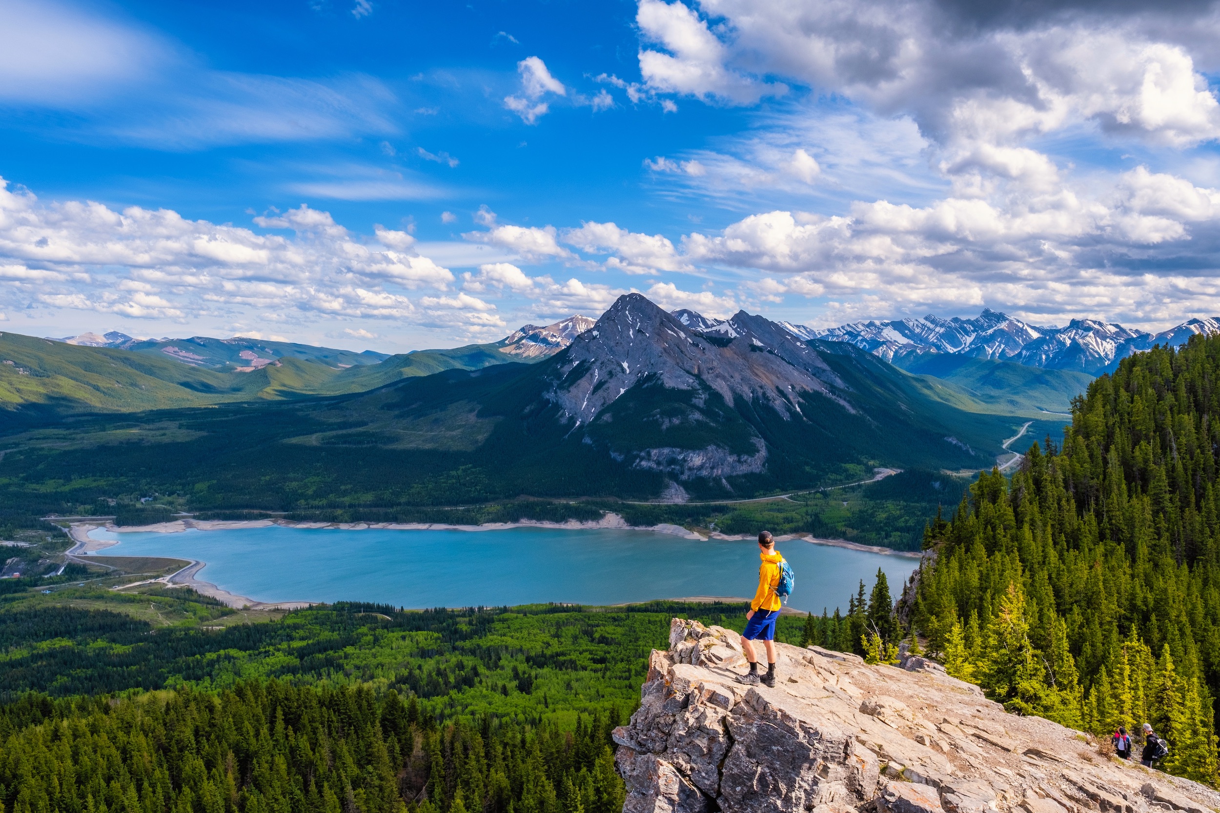
- Length: 13.8 km for Full Loop, Can be shortened by doing an out and back
- Duration: 2-4 hours
- Elevation Gain: 564 m
- Route Type: Out & Back or Loop
- When to Go: Year Round
- Drive Time from Calgary: 1 Hour
Barrier Lake is one of the most popular places to head near Calgary. It’s one of the first stops as you drive into Kananaskis from Calgary, and it can easily be reached within an hour.
Many choose to sit and enjoy the lakeshore, walk around the lake, ice skate in the winter, or go for a paddle. However it’s always possible to get working and get above Barrier Lake. The Prairie View Trail is a great, easy hike for sunrise, sunset, and even a fun winter hike!
This is a smooth well-maintained trail the entire way, with stunning views over Barrier Lake once you get to the Prairie View Lookout. Once you reach the viewpoint, you can head back down the way you came, or make it a loop trail by following the Jewell Pass Trail. Alternatively, if you have a spare 30-45 minutes, continue up to summit Yates Mountain to bag a peak and see the fire lookout!
Blackshale Suspension Bridge
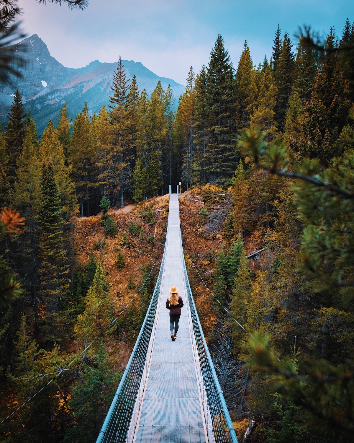
- Length: 1 km
- Elevation Gain: 52 meters
- Time Estimate: 30 minutes
- Route Type: Loop
- When to Go: Year Round
- Drive Time from Calgary: 1.5 Hours
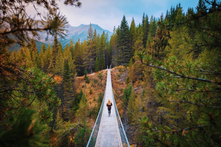
If you want the easiest hike in Kananaskis to enjoy with the family, head to the Blackshale Suspension Bridge. This easy hike in Kananaskis is precisely what it sounds like: a suspension bridge over Blackshale Creek. Yes – it will impress the kids!
This loop hike is quick and easy and will take you across a beautiful bridge. You can complete the hike going in either direction, and it may take you as little as 10 minutes, depending on how quick of a hiker you are.
For Canadian Rockies hikes, this one isn’t the most exciting, with few views, and the main highlight is crossing the bridge itself. We recommend combining this hike with either another hike on this list or a day at Kananaskis Lakes, as it is quite a journey out from Calgary for such a short hike.
Arethusa Cirque
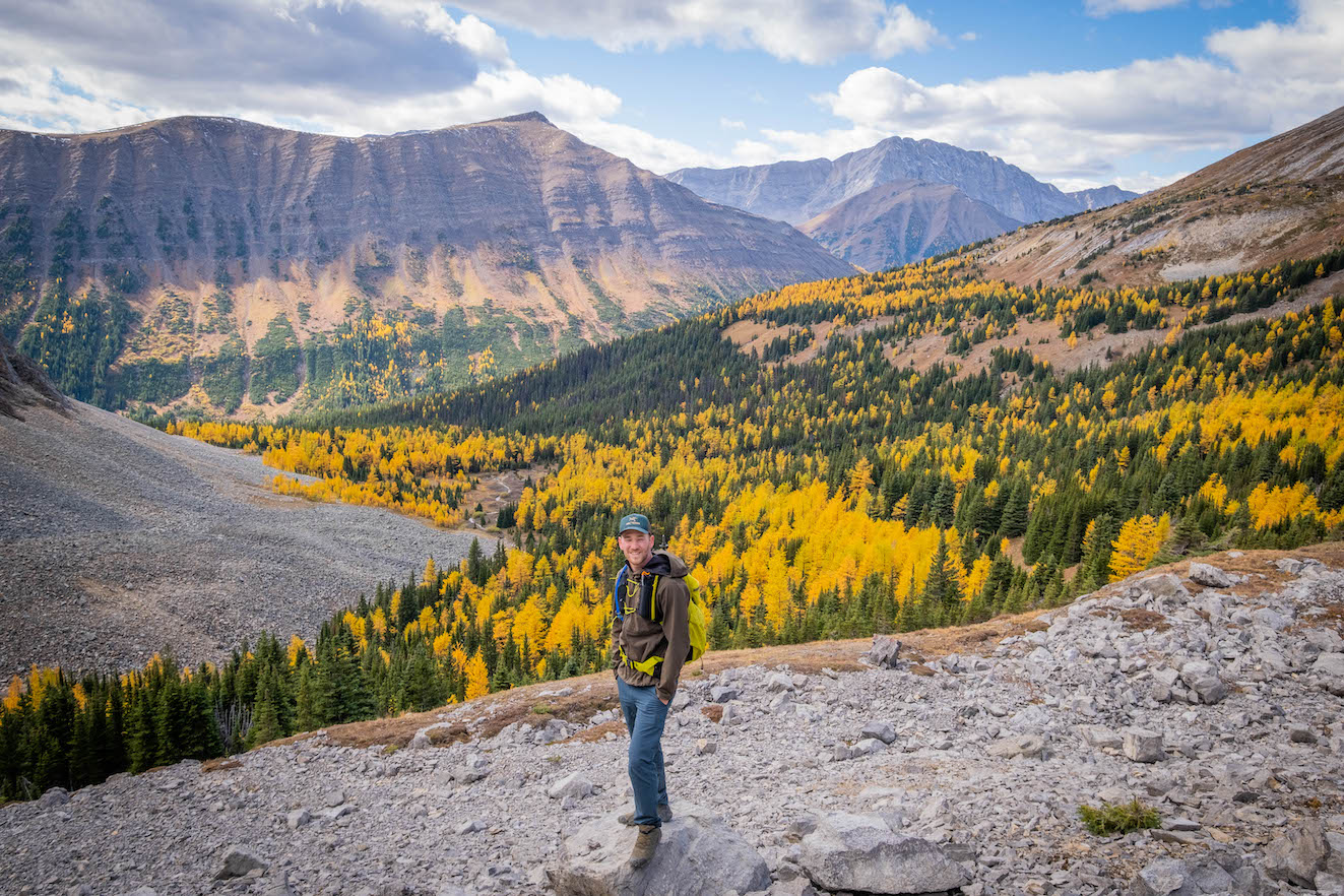
- Length: 4.5 km (loop)
- Elevation Gain: 278 meters
- Time Estimate: 2-4 hours
- Route Type: Loop
- When to Go: Larch Season
- Drive Time from Calgary: 1.5 Hours
As a well-known, family-friendly hike in Kananaskis, I wasn’t expecting much from Arethusa Cirque. But boy, was I wrong about my perceptions of this one. The views from the trail completely blew me away, and it quickly became one of my favorite larch hikes in Alberta.
If you are looking for an easy half-day larch hike, put Arethusa Cirque on your list. This is a loop trail that I would suggest taking clockwise. One very steep and loose section is better to ascend than descend – especially with children or older hikers.
Since it’s over 1.5 hours from Calgary, I highly recommend combining Arethusa Cirque with Ptarmigan Cirque, as the trailheads are right next to each other. Ptarmigan Cirque is another family-friendly larch hike with slightly different views!
Ptarmigan Cirque
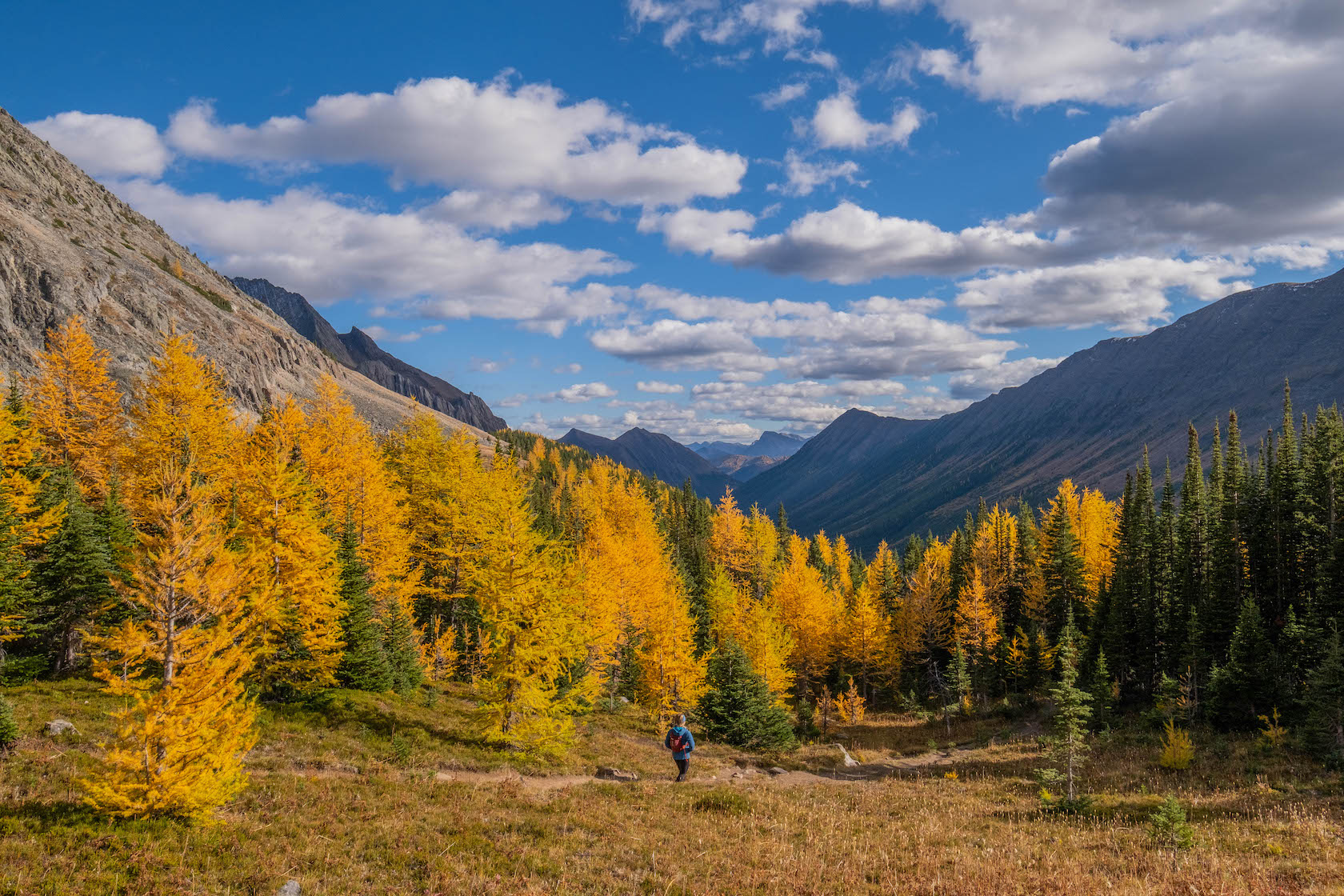
- Length: 3.4 km
- Elevation Gain: 240 Meters
- Time Estimate: 1-3 Hours
- Route Type: Loop
- When to Go: Larch Season
- Drive Time from Calgary: 1.5 Hours
Since I mentioned it, let’s talk about Ptarmigan Cirque, which is right next to the trailhead for Arethusa Cirque. It’s a fantastic hike for Calgarians, especially during the larch season, as thousands of larch trees are in the area. During late September, this whole area turns a golden yellow.
To start, park near the Highwood Meadows Trail and cross Highway 40, follow the well-trodden trail, and walk until you get a stunning open vista of the larches. For a longer and slightly more challenging hike, you can also consider Pocaterra Ridge!
Troll Falls
- Length: 3.4 km
- Elevation Gain: 151 meters
- Time Estimate: 1 hour
- Route Type: Out & Back
- When to Go: Year Round
- Drive Time from Calgary: 1.15 Hours
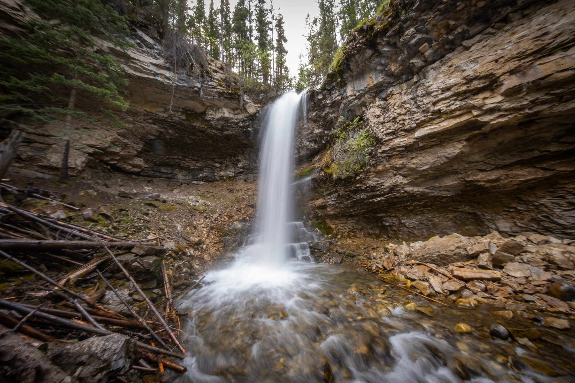
Troll Falls is one of the best waterfall hikes near Calgary for families. It’s short and easy and will lead you right to a frozen Alberta waterfall in the winter. Though summer is just as lovely as you still get to view a flowing waterfall! The trail can be a bit hectic as it’s one of the easiest hikes near Calgary. Especially in the summer during the weekend days, so try and go during the weekdays at off times if possible.
If you are planning a trip in the winter, hiking poles and microspikes may be helpful for you here. If you and the family already have plans to ski at Nakiska or hit up the Kananaskis Nordic Spa we recommend combining your outing with Troll Falls for a wonderful day!
Galatea and Lillian Lakes
- Length: 12 km to Lillian and 16 km to Galatea
- Elevation Gain: 500m to Lillian and 870m to Galatea
- Time Estimate: 4-7 Hours
- Route Type: Out & Back
- When to Go: Summer
- Drive Time from Calgary: 1.15 Hours
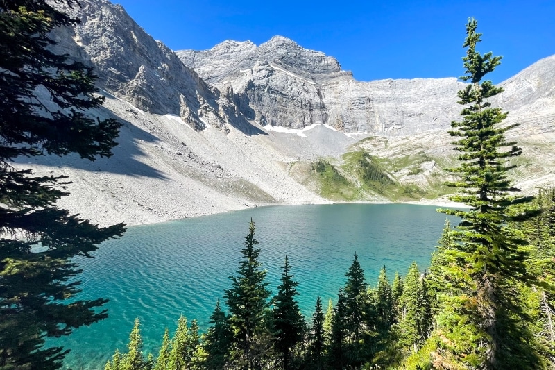
If you’re a fan of hiking to serene alpine lakes, look no further! The Lillian and Galatea Lakes hike via Galatea Creek is an absolute gem in Kananaskis Country, boasting three enchanting lakes nestled beneath rugged peaks if you choose to hike all the way to Galatea Creek.
This out-and-back trail offers a delightful combination of gushing streams, a well-marked path, and breathtaking vistas that are just over an hour’s drive from Calgary. It caters to hikers with varying levels of intensity preferences, making it an ideal choice for all. The best part is you can hike to just Lillian Lake, or continue to Galatea Lakes if you want an epic day out or turn around when you feel tired and ready for some grub at a delicious Calgary restaurant.
For those seeking an extended multi-day adventure, consider reserving a campsite at Lillian Lake for an easy backpacking excursion, fully immersing yourself in this area. The Lillian Lake Backcountry Campground is 6km from the trailhead, and can be reached in a bit over an hour. It’s a great place to camp if you are a newbie camper.
Mount Yamnuska
- Length: 9.5 km
- Elevation Gain: 878 m
- Time Estimate: 4-6 Hours
- Route Type: Loop
- When to Go: Summer
- Drive Time from Calgary: 1 Hour
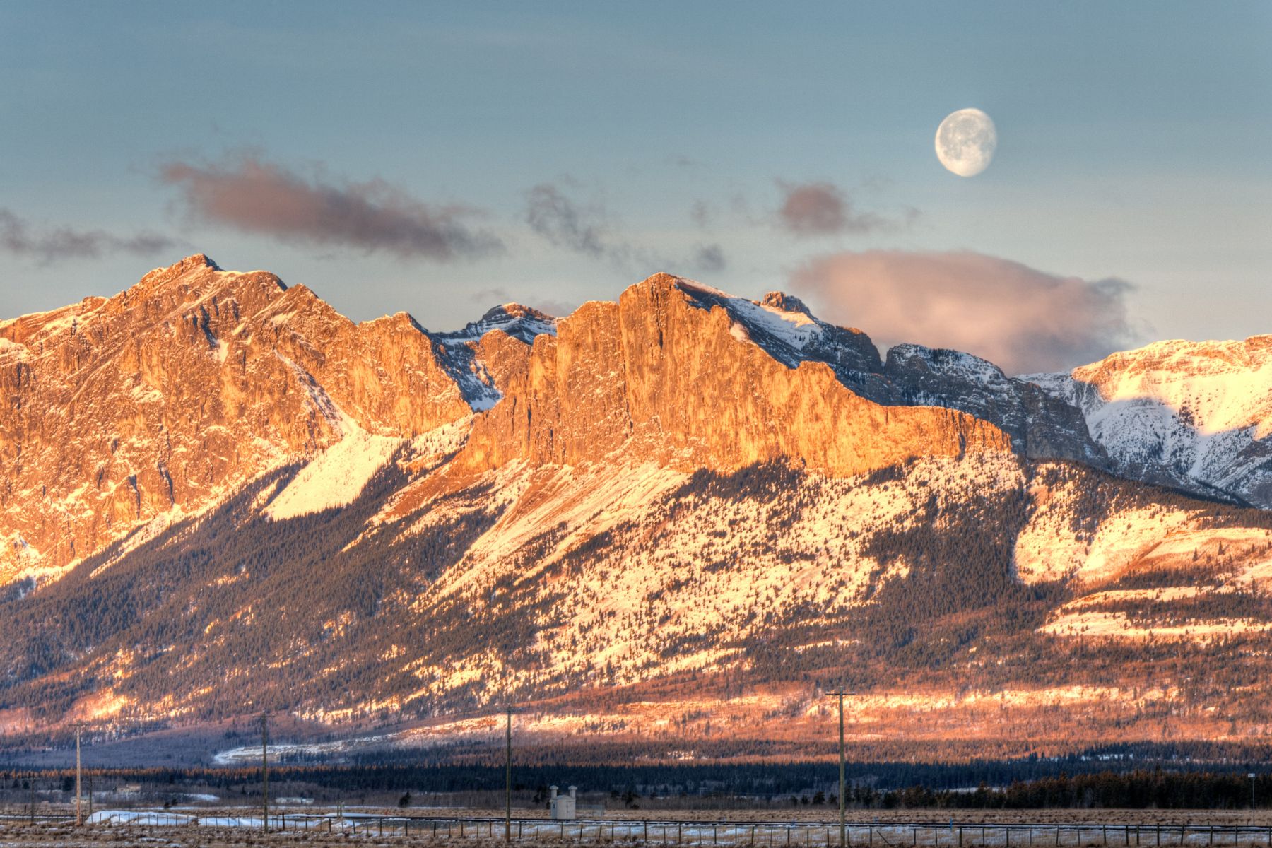
Mount Yamnuska, officially designated as Mount John Laurie, stands as one of the most favored hiking and scramble destinations near Calgary. It’s been one of the most popular hikes for years, and on a beautiful summer weekend day you can expect to see plenty of hikers.
The hike on Mount Yamnuska offers diverse experiences, ranging from a serene journey through a picturesque forest to a demanding scramble along the rear side leading to the summit.
While the entire hiking trail to the summit of Mount Yamnuska poses a challenge, it’s quite manageable for most regular Rockies hikers. Nevertheless, it’s crucial to note that Mount Yamnuska witnesses more rescue incidents than any other hike in the Rockies, in part due to its ease of access and hikers’ overestimation of their skills and preparedness. While Yamnuska is “just right there,” it’s still a serious mountain in the Canadian Rockies.
This hike is best left to those with a few other Canadian Rockies hikes under their belt. As there is a scree slope, scramble, and some serious drop offs, it’s not for first time hikers. There is a chain section that, while fun, is also intimidating, so make sure you are prepared or don’t mind turning back.
Ha Ling Peak
- Length: 7.9 km
- Elevation Gain: 745 meters
- Time Estimate: 3-5 Hours
- Route Type: Out & Back
- When to Go: Year Round
- Drive Time from Calgary: 1.20 Hours
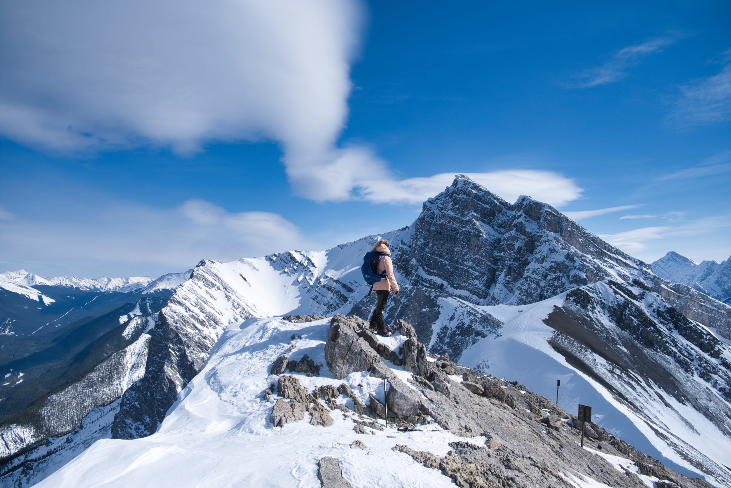
Easily visible from downtown Canmore, Ha Ling Peak is the go-to climb in the area and a favorite among locals. Renowned as one of the most popular hikes in the Canadian Rockies, it underwent a substantial trail upgrade in 2019 by Alberta Parks, adding steps and handrails.
Despite its imposing appearance from Canmore, the backside ascent of Ha Ling Peak is more of a physical challenge than a formidable climb. While its popularity might deter some, the assurance of hiking in numbers can be comforting for those not at ease in a wilderness setting alone. Although this hike is easily the most popular mountain summit in the Canmore (and quite possibly Banff), that doesn’t mean it’s an easy trail! You’ll get your heart rate going up in no time as you climb nearly 800 meters.
Once you reach the summit, take in the views over Canmore, the Goat Valley, and Spray Valley. If you are up for an early start, Ha Ling Peak is a particularly noteworthy choice for a sunrise hike.
Moose Mountain
- Length: 14 km
- Elevation Gain: 750 m
- Time Estimate: 4-7 Hours
- Route Type: Out & Back
- When to Go: Year Round
- Drive Time from Calgary: 45 Minutes
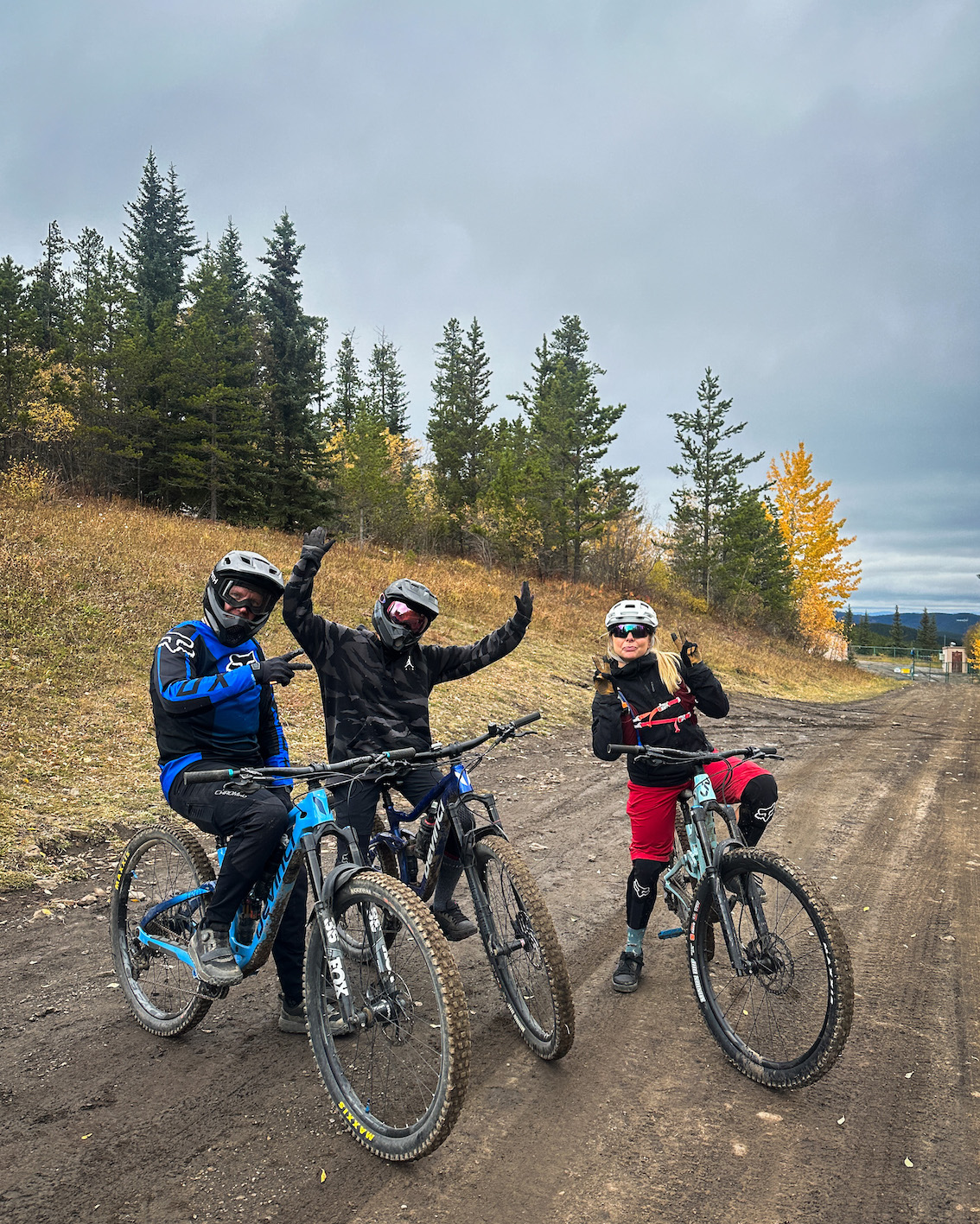
The trail up Moose Mountain is near the small Alberta hamlet of Bragg Creek. The path is an old fire road tracing Moose Ridge and winding its way up Moose Dome. The trail begins at the terminus of Moose Mountain Road, with the last kilometer leading to the viewpoint is a steep, narrow single-track trail covered in loose rocks.
It’s a fun, notable hike because it is so close to Calgary. It’s a popular destination for mountain bikers as well as it has extensive network of mountain bike trails and is undoubtedly one of the best spots in the province to tackle some single track. The area has various trails for beginners and experts, focusing on tech, flow, and some decent intermediate jump trails. It also boasts the most impressive wood features outside of British Columbia!
Elbow Lake
- Length: 3 km round trip
- Elevation Gain: 120 m
- Time Estimate: 1-2 Hours
- Route Type: Out & Back
- When to Go: Summer Season (No vehicle access via HWY 40, Dec 1 – Jun 14.)
- Drive Time from Calgary: 1.5 Hours
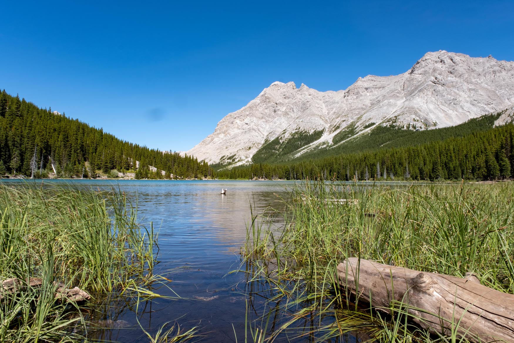
Elbow Lake is one of the most beautiful short hikes in Kananaskis that follows a well-maintained trail to none other than the beautiful Elbow Lake. It’s right near the famous Kananaskis Lakes, but is far less popular.
This is another great hike near Calgary for those new to backcountry camping, as the trail is just 1.3km one way with 125 meters of elevation gain. Perfect for families or new parents who want to test out backcountry camping with their baby for the first time, but not be too far from the car.
Piper Pass
- Length: 20.4km
- Elevation Gain: 994 meters
- Time Estimate: 4-7 Hours
- Route Type: Out & Back
- When to Go: Summer Season (No vehicle access via HWY 40, Dec 1 – Jun 14.)
- Drive Time from Calgary: 1.5 Hours
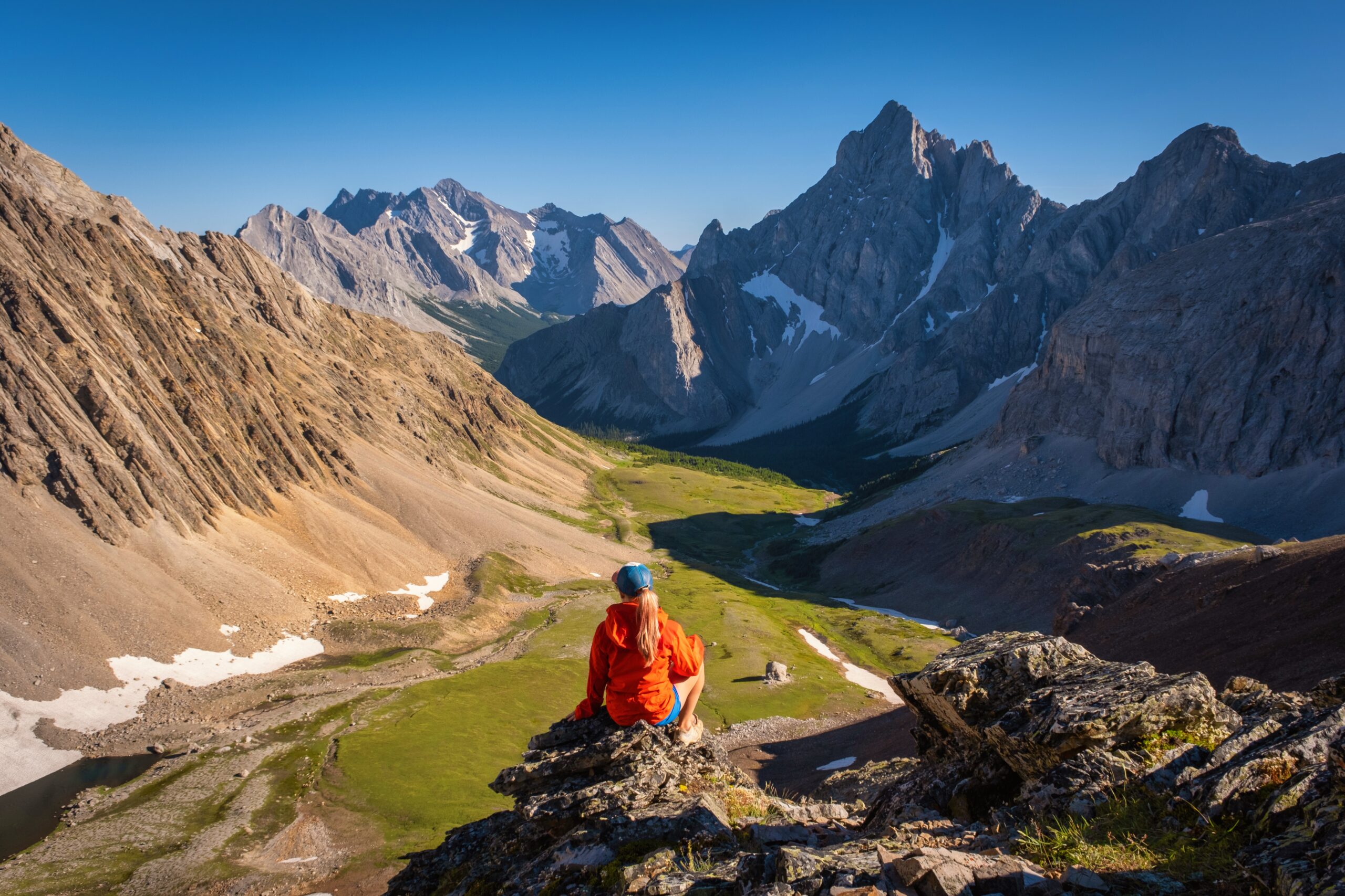
If you are up for a long day out, continue past Elbow Lake and venture to Piper Pass. This is a 20.3-km out-and-back trail but trust me when I say the views are more than worth it. We consider Piper Pass one of the best things to do in all of Kananaskis.
Once you get past Elbow Lake, follow Elbow River. You’ll find that much of the trail is through the trees and pretty uneventful, however keep pushing on as you’ll thoroughly enjoy reaching Pipers Pass and the very picturesque meadows just before it.
Grotto Canyon
- Length: 7 km
- Elevation Gain: 390 meters
- Time Estimate: 2-4 Hours
- Route Type: Out & Back
- When to Go: Year Round
- Drive Time from Calgary: 1 Hour
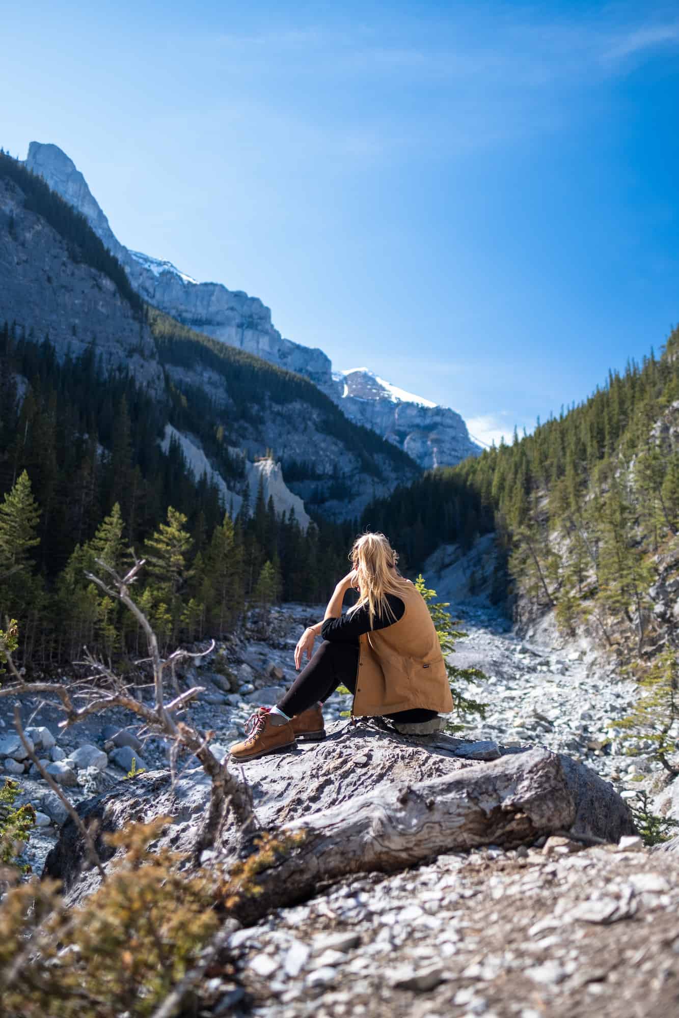
Just look on AllTrails, and you’ll find that the Grotto Canyon Trail near Exshaw is an incredibly popular one. Still we consider Grotto Canyon an easy Canmore hike that’s good year-round, and not far for Calgarians spending their weekend in Canmore.
While it’s a popular trail year-round, many hikers flock here between November and April as it’s possible to walk along the frozen creek and enjoy frozen waterfalls. This makes it one of the best winter hikes near Calgary. You’ll likely even come across an ice climber or two!
Follow the AllTrails route to take a peak at the Grotto Canyon Cave, about 2.5 km into the hike!
Rawson Lake
- Length: 6.8 km
- Elevation Gain: 423 m
- Time Estimate: 2-4 Hours
- Route Type: Out & Back
- When to Go: Year Round (Snowshoe in winter)
- Drive Time from Calgary: 1.5 Hours
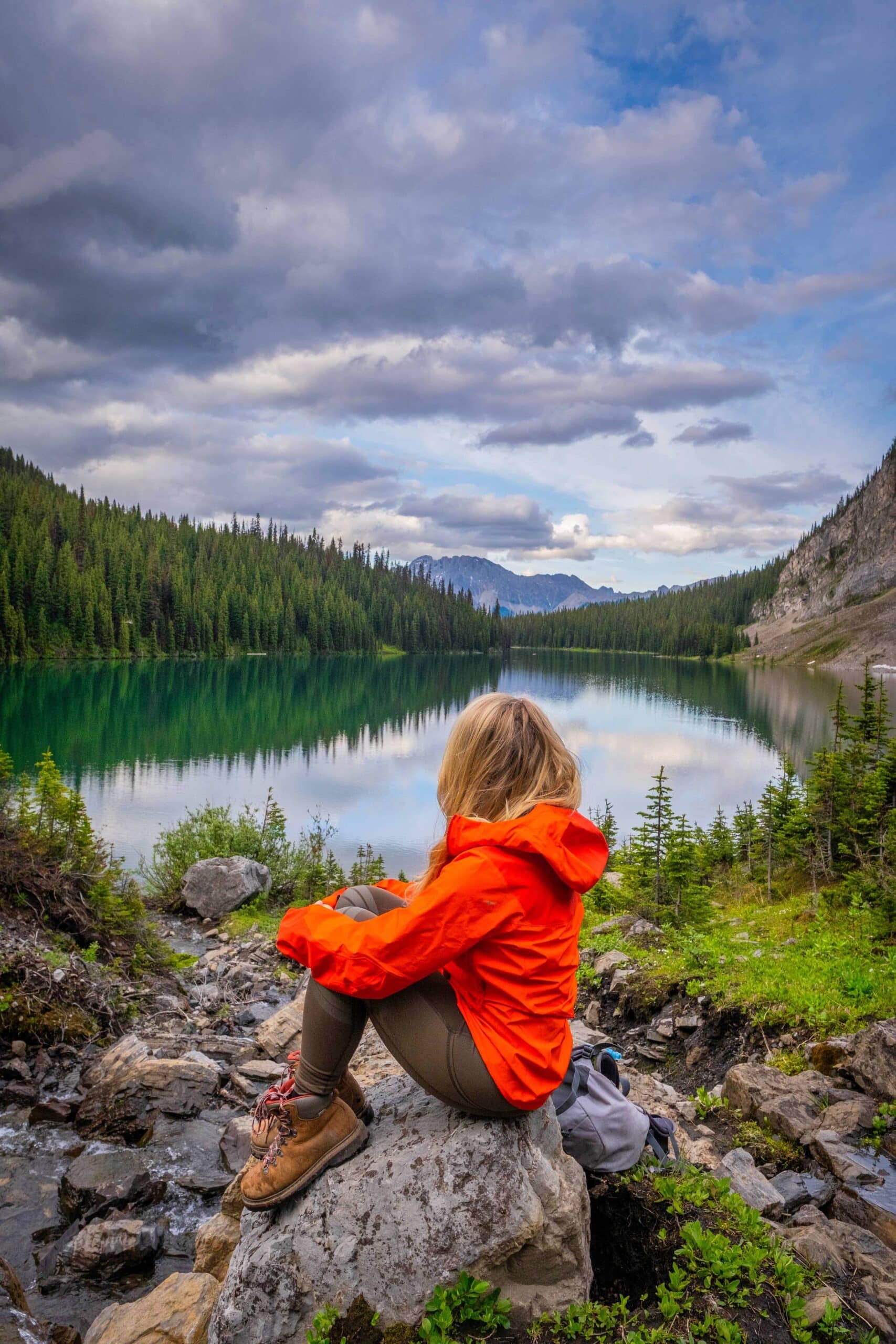
Rawson Lakes is one of the best mountain hikes near Calgary you may not have thought about. Starting at Kananaskis Lakes, the trail to Rawson Lake in Peter Lougheed Provincial Park is a popular one in the summertime. We find the trail to Rawson Lake exciting as it skirts Upper Kananaskis Lake for its beginning, passing by beautiful waterfalls and streams along the way. Admire the views of Upper Kananaskis Lakes for a kilometer. Enjoy it as the elevation gain starts around the 1.3 km mark and then continues climbing until Rawson Lake.
Once you make it to Rawson Lake, you can walk around the lake and pick a nice spot to sit and relax. I suggest bringing some picnic supplies and enjoying the scenery under the mountains. If you venture this way in the winter, microspikes and poles will prove helpful unless you are on snowshoes.
Sarrail Ridge
- Length: 11.6 km
- Elevation Gain: 670 m
- Time Estimate: 4-6 Hours
- Route Type: Out & Back
- When to Go: Summer Season
- Drive Time from Calgary: 1.5 Hours
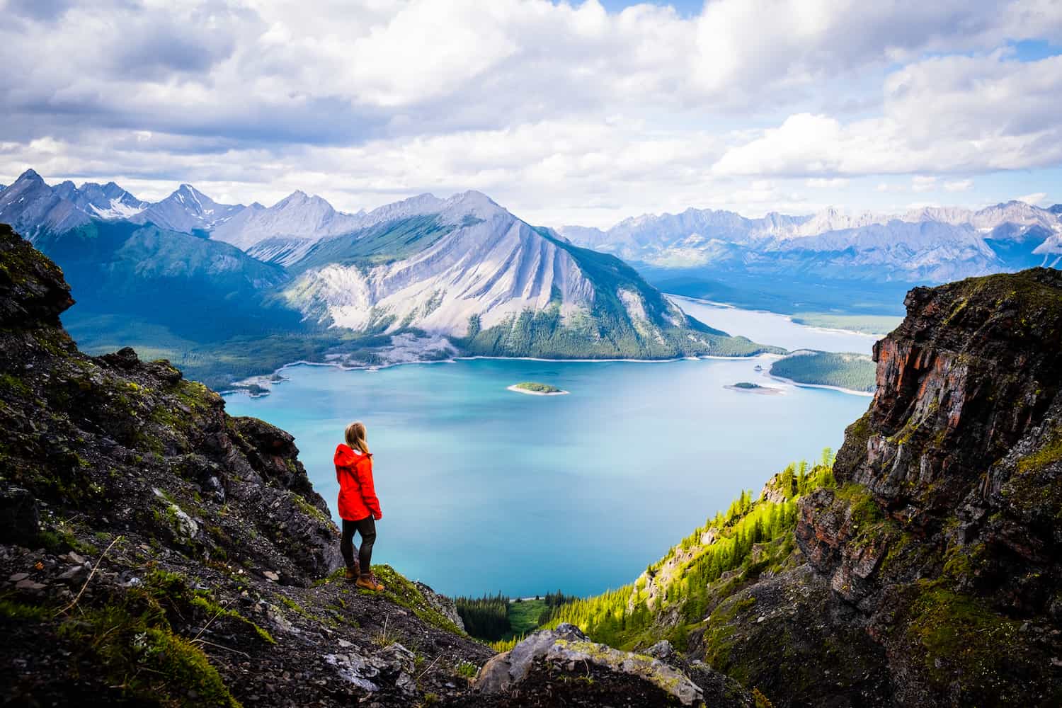
Since you’ve already driven all the way to Kananaskis Lakes from Calgary to hike to Rawson Lake you may as well add on to your day. Sarrail Ridge is a continuation of Rawson Lake, and while the trail up to Rawson Lake is relatively easy, the last climb to Sarrail Ridge is steep.
Once you reach the Rawson Lake viewpoint, you’ll make your way around the left side of the lake, and start climbing a steep 400 meters to the ridge viewpoint over Kananaskis Lakes and out to Mount Indefatigable. *Keep an eye out on Alberta Parks website as this trail frequently shuts down as there is a mama bear that dens on the mountain.
Wasootch Ridge
- Length: 15.4km
- Duration: 6-10 hours. Depends on where you want to stop.
- Elevation Gain: 931 m
- Route Type: Out & Back
- When to Go: May-October
- Drive Time from Calgary: 1 Hour
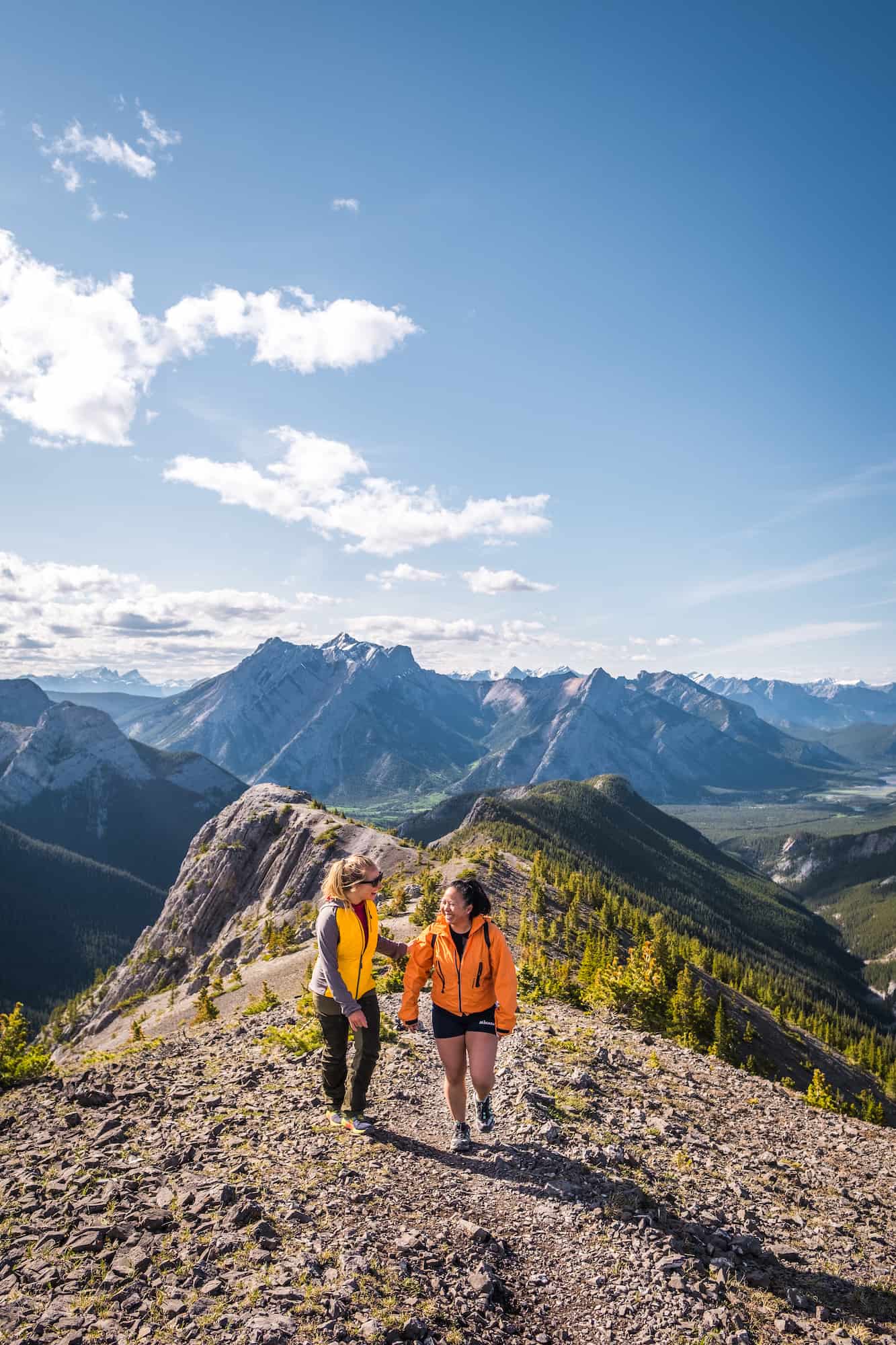
Wasootch Ridge is a favorite near Calgary. Situated in Kananaskis Country in Elbow-Sheep Wildland Provincial Park, this is generally considered a difficult hike and one of the hardest hikes on this list, though, in Canadian Rockies terms, it’s still relatively easy. Although you gain elevation quickly in the beginning, once you get past the initial grind, you’ll be on a ridge for a large portion of your hike, soaking in plenty of views.
The great news about this hike is that you are navigating a ridge most of the time and can turn around whenever you want. So if you get tired before the 7.5 km mark, you can easily turn around. A scramble at the end to the true summit is not commonly noted, and is not advised unless you are an experienced scrambler who has handled high exposure on ridges.
Carnarvon Lake
- Length: 20.4km
- Duration: 4 – 9 hours
- Elevation Gain: 857 meters
- Route Type: Out & Back
- When to Go: May-October
- Drive Time from Calgary: 1.20 Hours
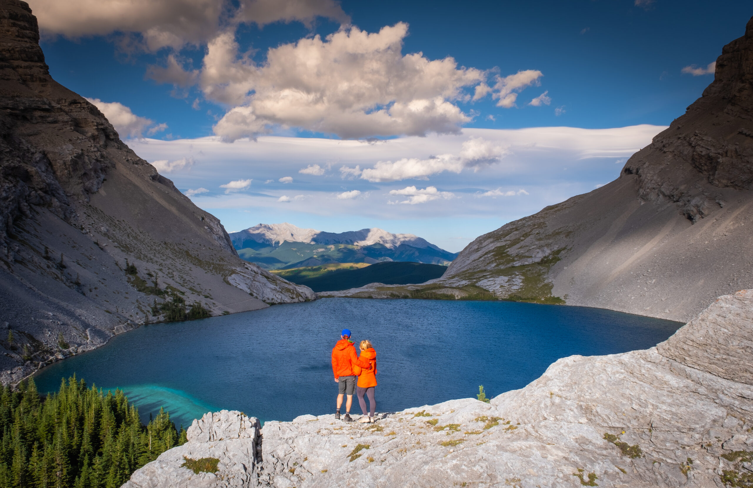
Carnarvon Lake, lauded as one of the top hikes in Kananaskis, sits on Crown Land at the foothills, allowing for wild camping. While I was initially hesitant for years due to a creek crossing and chain section, I found them to be more exciting than daunting.
The 10km hike (one way) with over 800 meters of elevation gain is pretty uneventful until around the 8km mark, which prompted us to use mountain bikes and hike only 2km. This made for a swift and thrilling return. I recommend this option if you are comfortable crossing a river with a mountain bike, just rememeber to bring bike locks or stash your bikes somewhere well in the trees.
Around 8km, the scenery improves, featuring a steady climb on a scree trail. A waterfall marks the start of scrambling, aided by chains. While not essential for confident scramblers, they are appreciated. Past the chains, a short distance leads to the stunning Carnarvon Lake. Explore the shoreline for 400 meters to reach vibrant blue waters and potential camping spots, or ascend the trail for spectacular views. This is one of the best hikes near Calgary if you are looking to wild camp!
Mount Allan
- Length: 15.8km
- Elevation Gain: 1,485 m
- Time Estimate: 6-9 hours
- Route Type: Out & Back or Point to Point
- When to Go: Summer
- Drive Time from Calgary: 1 Hour
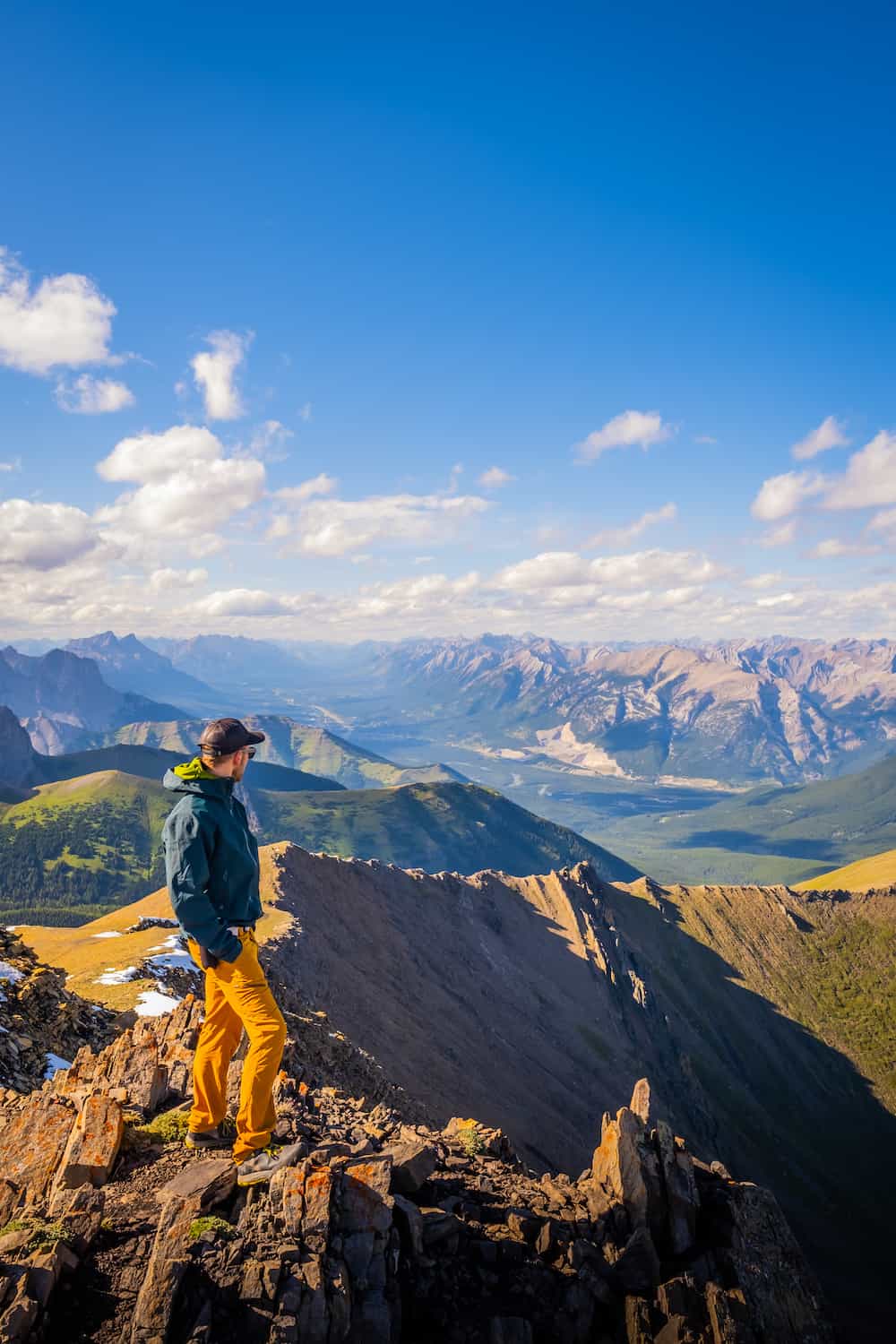
Mount Allan is a popular hike, but it is a long day with significant elevation gain. With a distance of 15.8 km and an elevation gain of 1,485 meters, Mount Allan is no short hike so you’ll have to leave very early from Calgary to have enough time to complete it. This hike takes you to a mountain summit with no scrambling or anything technical involved.
I love the hike up Mount Allan as you gain elevation steadily almost the entire time, without any extreme steep sections.
Mount Allan can be a point-to-point hike or an out-and-back hike. Mount Allan via Centennial Ridge links Ribbon Creek and Dead Man’s Flats. You can do the entire traverse for a super long day and those with two cars. We only had one car and decided to start our journey at Centennial Ridge Trailhead, where we had a steady but easy incline up into the valley and planned to return the same way.
Most people stop when they reach the ridge, but it’s worth it to keep pushing and go for the summit of Mount Allan and get views towards Kananaskis Country to the south and Canmore to the Northwest.
Along the hike to the final summit of Mount Allan, you’ll see huge pinnacles that look unworldly. These features make this hike one for the books alone. From here, you can continue to Dead Man’s Flats or turn around for an easy and enjoyable hike down. Fun fact – the summit of Mount Allan sits at 2819 meters, making it the highest maintained trail in the Rockies, and it is very well maintained!
Mount Baldy
- Length: 4.5 km
- Elevation Gain: 788 m
- Time Estimate: 4-6 Hours
- Route Type: Out & Back
- When to Go: Spring and Summer
- Drive Time from Calgary: 1 Hour
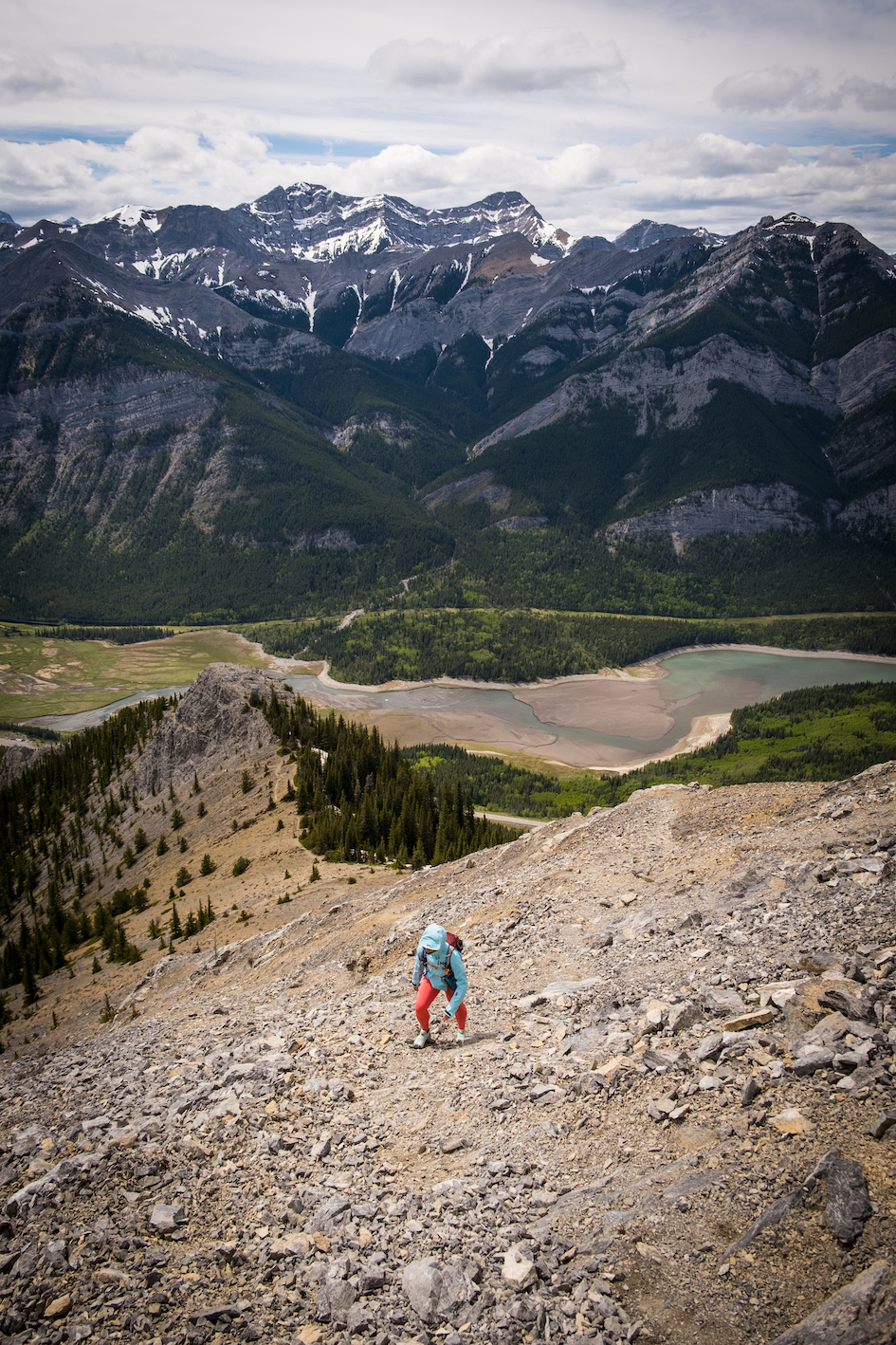
Mount Baldy is far from the easiest hike on this list, but it’s worth mentioning as the trailhead is less than one hour from the city. Near Barrier Lake and across from the Prairie View Trail is Mount Baldy Peak. Reaching the peak is a steep incline that requires some technical scrambling, so it’s best left to those with hiking and scrambling experience.
The crux requires a sure-footed downclimb, and a bit of route-finding may be required. However if you reach the top, you’ll be rewarded with the most amazing views over Barrier Lake.
Gear We Recommend for These Hikes Near Calgary
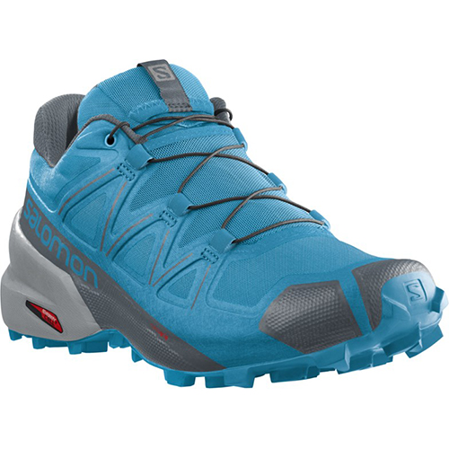
The vast majority of hikes and easy scrambles in the Rockies, you’ll find us in our trusty Salomon Speedcross.
Arc’teryx Cerium is our pick for the best down jacket. It’s incredibly light, and we bring it on almost every hike in the Rockies.

This nifty clip from Peak Design secures a camera to my backpack strap for easy reach. No more digging in the backpack!
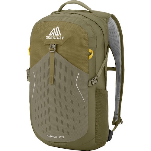
20L feels like the ideal size for quick hikes and scrambles. We love the Nano from Gregory with a hydration reservoir.
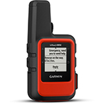
There is not much cell service in the Canadian Rockies. In case of emergencies, we carry an emergency beacon with GPS.
Advice on Hiking in the Rockies
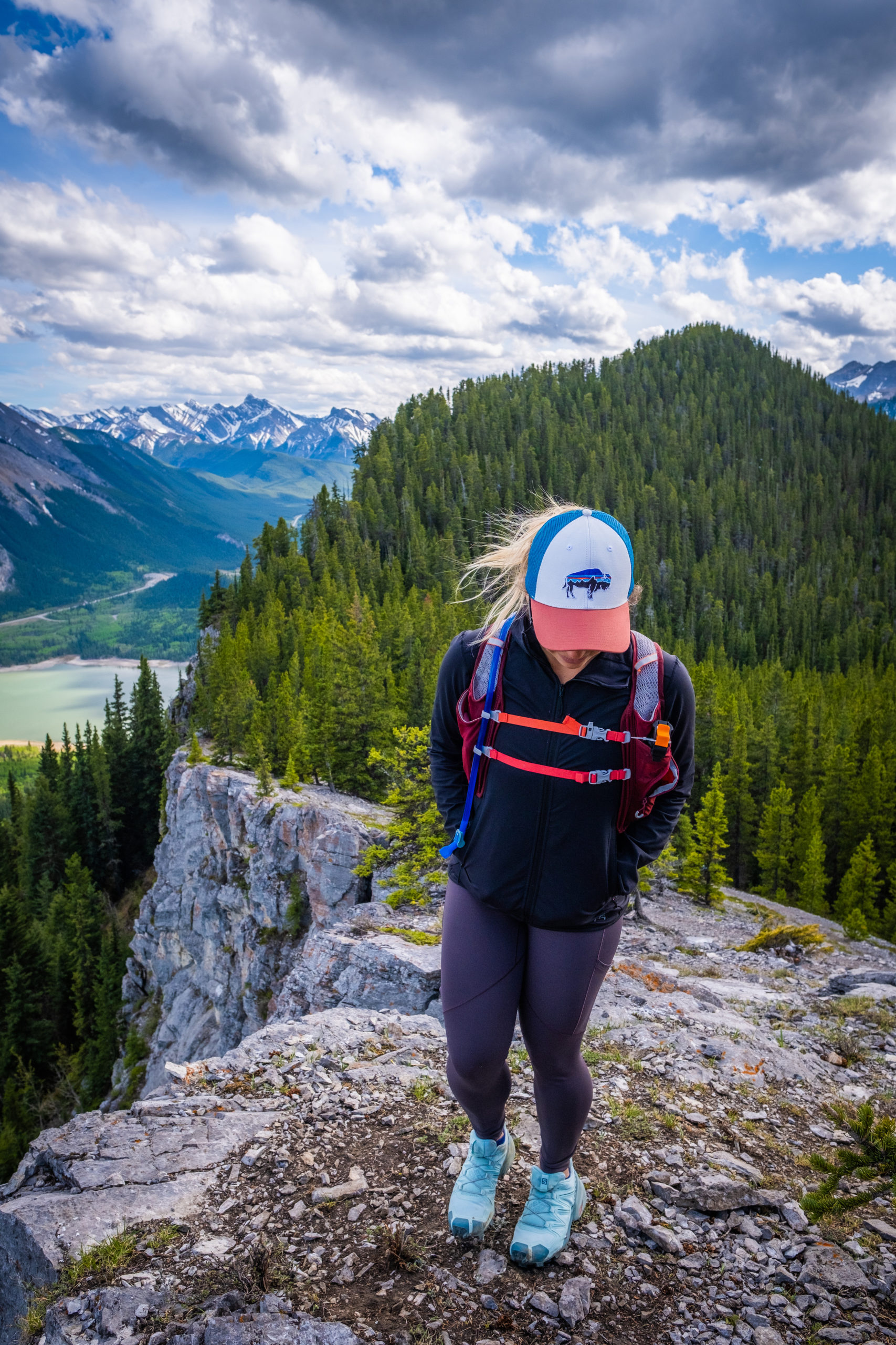
- If this is your first time hiking in the Rockies, take a conservative approach – read our post for beginner hikers in Banff too. Pick an adequate hike for your fitness, plan for plenty of time, pack water and food, and don’t be afraid to turn around. If you want to learn more about what to wear hiking in the Rockies we have a great post.
- For long hikes, set a turnaround time at the departure. Any time we set out for an objective, I determine a time we need to turn around to arrive at the parking lot or campsite by dark. I recommend not hiking in the dark as it’s easy to get lost, and it’s not fun in bear country.
- Always carry bear spray if you plan to hike in the Rockies. We carry ours even in our neighborhood, and bears have been known to stroll through town and busy parking lots. When on a trail, always practice wildlife awareness, and please give animals space.
- Most of these are dog friendly hikes near Calgary, as dogs are allowed on most of these trails but must be kept on a leash for the entire duration of the hike.
Searching for More Hikes?
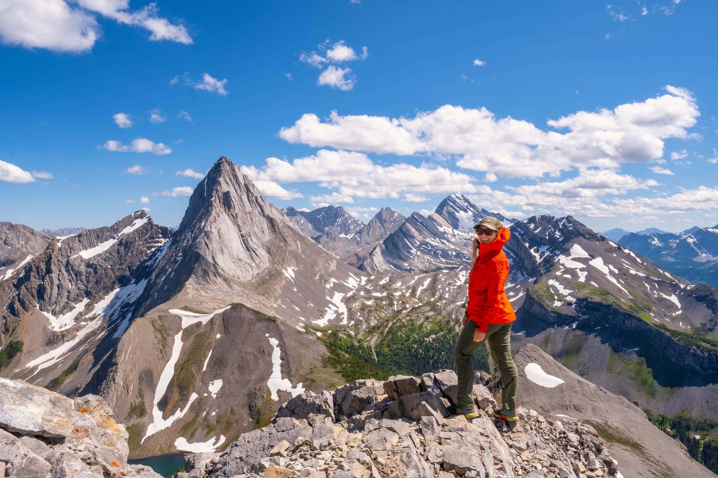
For those after a more leisurely time outdoors, make sure to read on to find some easy hikes in Kananaskis and easy hikes in Banff. If you want a bit more challenge, these are our favorite hikes in Kananaskis, our favorite hikes in Canmore, and our favorite hikes in Banff!
The Best Places to Stay in Kananaskis
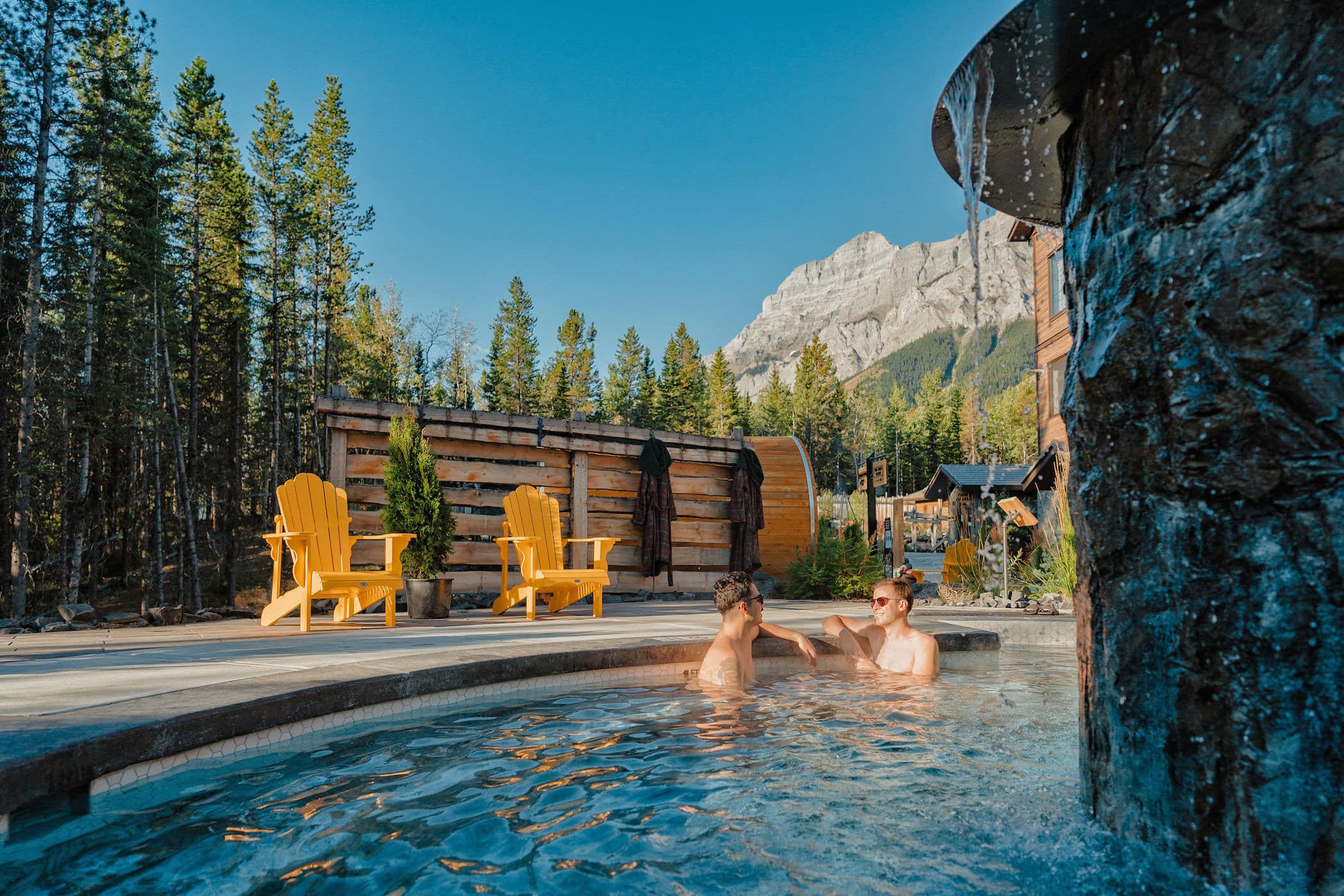
Don’t want to drive into the mountains every day? Consider staying in Kananaskis! One of the best places to stay in all of Kananaskis Mountain Lodge, which also operates the amazing Kananaskis Nordic Spa.
If you’re looking to stay in Kananaskis specifically, we can’t recommend Mount Engadine Lodge. It’s near the trailheads of Tent Ridge and Smutwood Peak!
Hopefully, this helped you determine which of these Calgary hikes to tackle! If you have any other questions leave a comment or see our Canadian Rockies travel guide for more articles about photography spots, lakes, hikes, and everything else.
Plan Your Trip to the Canadian Rockies
- Recommended Experiences: There are many things to do in the Rockies, but our top recommendations include the Banff Gondola and a cruise on Maligne Lake to Spirit Island in Jasper. If you want a stress-free way to get to Moraine Lake, we highly recommend looking into Moraine Lake Bus Company.
- Hotels in the Rockies: There are many places to stay, from luxury hotels to wilderness cabins. See all our favorites here.
- Get to Banff or Canmore Without a Car: The Banff Airporter provides fantastic service connecting you from the Calgary International Airport (YYC) to Banff or Canmore.
- Get Around: We suggest renting a car to get around. You can search for rental cars on Rentalcars.com. For a campervan trip, you can check prices and compare on Outdoorsy.
- Cheaper Airfare: We also use Going for airfare deals and travel credit cards to earn points on purchases. Those credit card points can be redeemed for free flights and hotels! Our favorite cards is the Capital One Venture X (which has an insane welcome bonus right now) as it has no foreign transaction fees.
- Hop On, Hop Off: This tour is taking Banff by storm. It’s exactly what it sounds like, hop on and off a bus to visit all the best attractions at your own pace!
↓ Ask Your Questions ↓
The Banff Blog Private Facebook Group is your headquarters for Canadian Rockies travel advice and information, including hike and off-season travel information. You can also meet new adventure buddies.

